
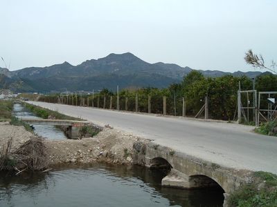
Xeresa, Gemeinde in Spanien
Ort: Safor
Hauptstadt: Xeresa
Höhe über dem Meer: 30 m
Grenzt an: Simat de la Valldigna, Benifairó de la Valldigna, Xeraco, Barx, Gandia
Website: http://xeresa.es
GPS Koordinaten: 39.00917,-0.21806
Neueste Aktualisierung: 22. März 2025 um 02:10

Cova del Parpalló
4.7 km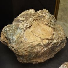
Cueva de Bolomor
6.3 km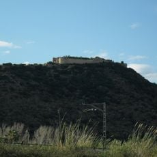
Castell de Bairén
3.2 km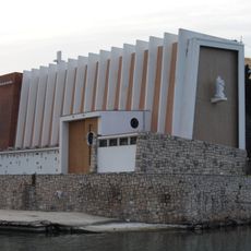
St. Nicholas
5.2 km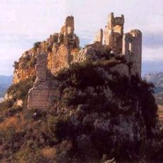
Castle of Alfàndec
6.6 km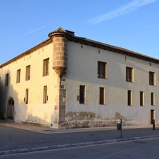
Alqueria del Duc
4.2 km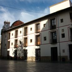
Königliches Kolleg der Piaristen in Gandía
5.5 km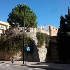
Muralles de Gandia
5.4 km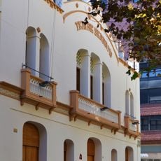
Teatre Serrano (Gandia)
5.7 km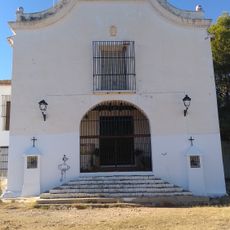
Chapel of Saint Anne
4.5 km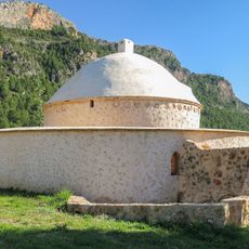
El Morabet
6 km
Platja de l'Auir
3.9 km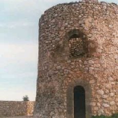
Watchtower Xeraco
4.1 km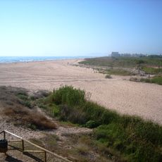
Platja de Xeraco
4.8 km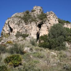
Centre d'interpretació paratge natural Parpalló-Borrell
4.7 km
Centro de interpretación Marjal de Gandia
4.1 km
Parpalló-Borrell
5.1 km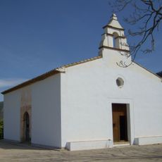
Mosque of La Xara
7.9 km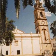
Church of Our Lady of the Incarnation
2.7 km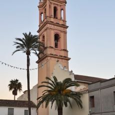
Church of Saint Lawrence
5.7 km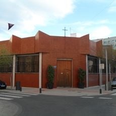
Church of the Sacred Family
5.4 km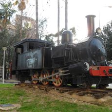
Lokomotive 7 (Gandia–Alcoy)
5.6 km
Agència de Lectura Municipal de Gandia - Parc de l'Estació
5.5 km
Biblioteca Pública Municipal de Gandia - Beniopa
4.9 km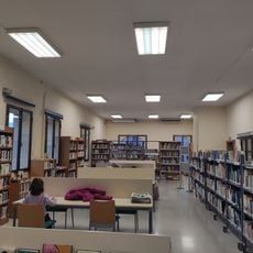
Biblioteca Pública Municipal de Gandia - Grau
5.3 km
Convent of the Handmaids of the Sacred Heart of Jesus
5.8 km
Biblioteca Pública Municipal de Xeraco
2.6 km
Convent of Saint Roch
5.7 kmDiesen Ort besucht? Tippe auf die Sterne, um ihn zu bewerten und deine Erfahrung oder Fotos mit der Community zu teilen! Jetzt ausprobieren! Sie können jederzeit kündigen.
Entdecke verborgene Schätze auf jedem Abenteuer!
Von charmanten kleinen Cafés bis zu versteckten Aussichtspunkten – entfliehe dem Touristentrubel und finde Orte, die wirklich zu dir passen. Unsere App macht's dir leicht: Sprachsuche, clevere Filter, optimierte Routen und echte Geheimtipps von Reisenden weltweit. Jetzt runterladen und das Abenteuer mobil erleben!

Ein neuer Ansatz für touristische Entdeckungen❞
— Le Figaro
Alle Orte, die eine Entdeckung wert sind❞
— France Info
Ein maßgeschneiderter Ausflug mit nur wenigen Klicks❞
— 20 Minutes