
South Dublin Bay and Tolka Estuary, a Ramsar site and Special Area of Conservation in Dublin, Ireland
Ort: County Dublin
GPS Koordinaten: 53.32620,-6.17295
Neueste Aktualisierung: 26. April 2025 um 06:46
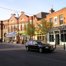
Blackrock
2.8 km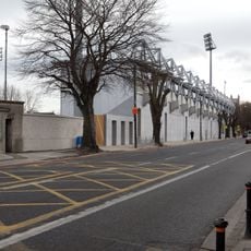
Donnybrook Stadium
4.1 km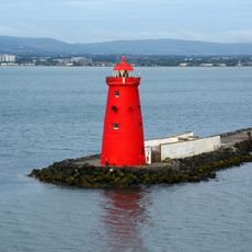
Poolbeg Lighthouse
2.3 km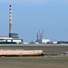
Sandymount Strand
2.2 km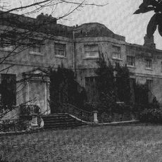
Frescati House
2.9 km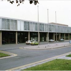
RTÉ Television Centre
3.5 km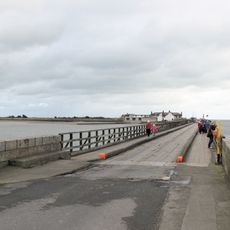
Bull Wall
2.9 km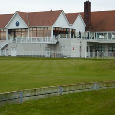
The Royal Dublin Golf Club
3.4 km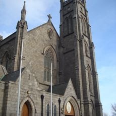
St. John the Baptist, Blackrock
2.9 km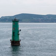
North Bull Lighthouse
2.6 km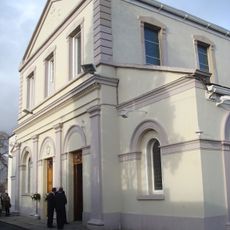
Church of the Assumption, Booterstown
2.9 km
Irishtown Nature Park, Dublin
2 km
RTÉ Radio Centre
3.7 km
Monkstown Church, Dublin
3.9 km
Category:Blackrock Town Hall, Library and Technical Institute
2.8 km
London Bridge
3.8 km
St. Philip and St. James Church, Booterstown
3.1 km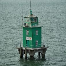
North Bank Lighthouse
2.1 km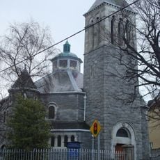
St. Andrew's, Blackrock
2.8 km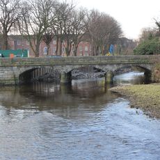
New Bridge
3.6 km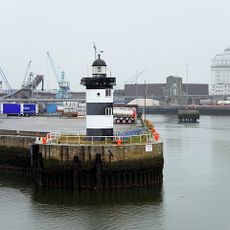
North Wall Quay Lighthouse
3.6 km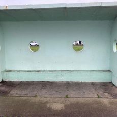
Clontarf Promenade shelter 8
3.8 km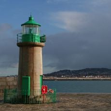
Dun Laoghaire West Lighthouse
3.8 km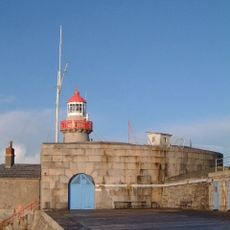
Dun Laoghaire East Lighthouse
4 km
Who made the world?
3.9 km
Clontarf Promenade large shelter
3.8 km
Bull Wall bathing shelters
2.9 km
Clontarf Promenade shelter 7
4 kmBewertungen
Diesen Ort besucht? Tippe auf die Sterne, um ihn zu bewerten und deine Erfahrung oder Fotos mit der Community zu teilen! Jetzt ausprobieren! Sie können jederzeit kündigen.
Entdecke verborgene Schätze auf jedem Abenteuer!
Von charmanten kleinen Cafés bis zu versteckten Aussichtspunkten – entfliehe dem Touristentrubel und finde Orte, die wirklich zu dir passen. Unsere App macht's dir leicht: Sprachsuche, clevere Filter, optimierte Routen und echte Geheimtipps von Reisenden weltweit. Jetzt runterladen und das Abenteuer mobil erleben!

Ein neuer Ansatz für touristische Entdeckungen❞
— Le Figaro
Alle Orte, die eine Entdeckung wert sind❞
— France Info
Ein maßgeschneiderter Ausflug mit nur wenigen Klicks❞
— 20 Minutes