
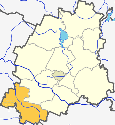
Kuliai eldership, eldership in Telšiai County, Lithuania
Ort: Plungė District Municipality
Hauptstadt: Kuliai
GPS Koordinaten: 55.80000,21.66667
Neueste Aktualisierung: 25. April 2025 um 21:13
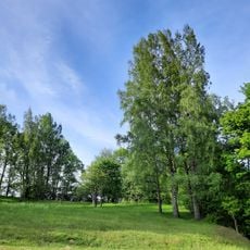
Gandinga hillfort
11.7 km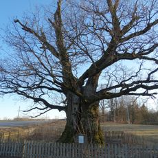
Mingėlos ąžuolas
9.1 km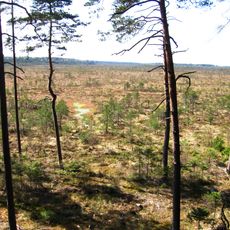
Aukstasis Tyras Telmological Reserve
11.2 km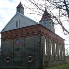
Church of St. Anthony of Padua, Pakutuvėnai
11.1 km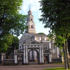
Church of St. Stanislaus the Bishop, Kuliai
1.1 km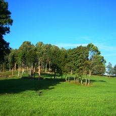
Žvaginiai hillfort
6.6 km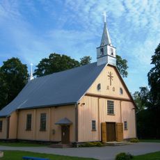
Church of St. Casimir, Vėžaičiai
15.1 km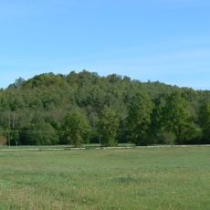
Gerduvėnų piliakalnis
15.7 km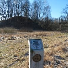
Nausodžio piliakalnis
12.4 km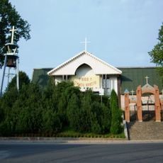
Church of St. Andrew the Apostle, Endriejavas
11.9 km
Varkaliai hillfort
11.9 km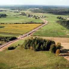
Skroblis hillfort
14.8 km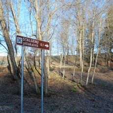
Stalgėnai hillfort
13.1 km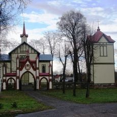
Church of the Exaltation of the Holy Cross in Budriai
15.9 km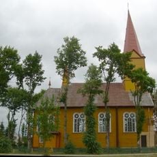
Church of St. Peter and St. Paul, Stalgėnai
14.1 km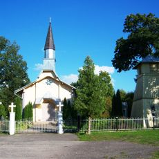
Church of St. Joseph, Mikoliškiai
11.4 km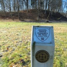
Nausodis II hillfort
12.6 km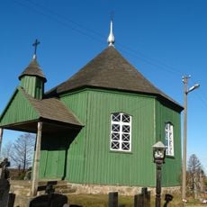
Kuliai cemetery chapel
1.9 km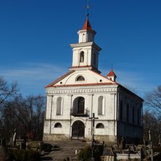
Plungė cemetery chapel
16.4 km
Vieštovėnų piliakalnis
9.6 km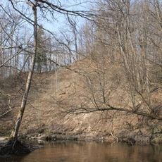
Gaudučių hillfort
15.3 km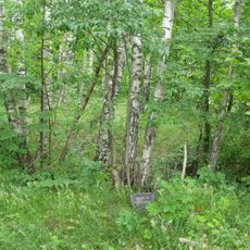
Vėlaičių hillfort
15.6 km
Pakutuvėnų piliakalnis
12.7 km
Chapel of Saint John the Baptist, Žadeikiai
7 km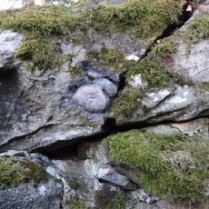
Plungės akmuo su Karvės pėda
16.1 km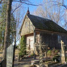
Pakutuvėnai cemetery chapel
11.1 km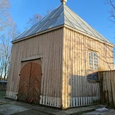
Kuliai churchyard chapel
1 km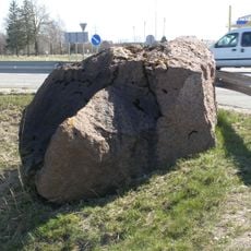
Dyburių Molkio akmuo
14.7 kmBewertungen
Diesen Ort besucht? Tippe auf die Sterne, um ihn zu bewerten und deine Erfahrung oder Fotos mit der Community zu teilen! Jetzt ausprobieren! Sie können jederzeit kündigen.
Entdecke verborgene Schätze auf jedem Abenteuer!
Von charmanten kleinen Cafés bis zu versteckten Aussichtspunkten – entfliehe dem Touristentrubel und finde Orte, die wirklich zu dir passen. Unsere App macht's dir leicht: Sprachsuche, clevere Filter, optimierte Routen und echte Geheimtipps von Reisenden weltweit. Jetzt runterladen und das Abenteuer mobil erleben!

Ein neuer Ansatz für touristische Entdeckungen❞
— Le Figaro
Alle Orte, die eine Entdeckung wert sind❞
— France Info
Ein maßgeschneiderter Ausflug mit nur wenigen Klicks❞
— 20 Minutes