
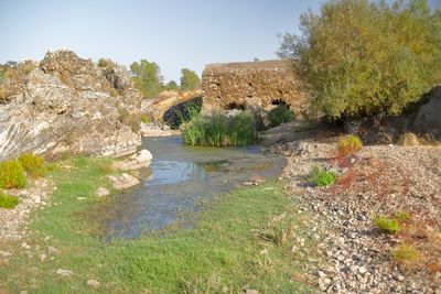
Moinho de Água da Figueira
Ort: Moura (Santo Agostinho e São João Baptista) e Santo Amador
GPS Koordinaten: 38.15137,-7.30723
Neueste Aktualisierung: 3. Juni 2025 um 11:06
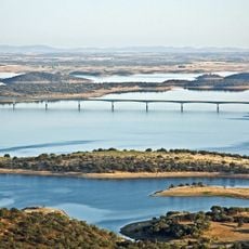
Alqueva-Stausee
33 km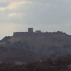
Castle of Noudar
21.6 km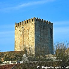
Castelo de Moura
12.7 km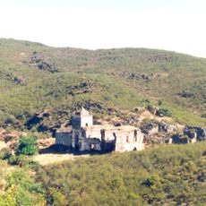
Convento da Tomina
24.4 km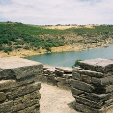
Castelo da Lousa
24.6 km
Convento de Nossa Senhora do Carmo
12.8 km
Atalaia Magra
13 km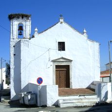
Estrela (Moura)
14.8 km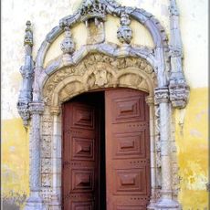
Igreja Matriz de São João Baptista
12.5 km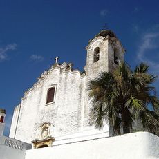
Igreja de Santo Aleixo, paroquial
16.4 km
Museu do Medronho
22 km
Church of Nossa Senhora da Estrela
14.9 km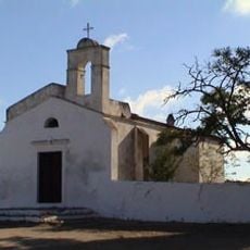
Ermida de Santa Luzia
19 km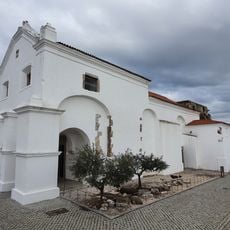
Mosteiro e Igreja de São Domingos de Moura
12.6 km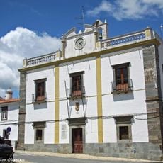
Câmara Municipal de Mourão
26 km
Igreja e Convento de São Francisco
12.7 km
Pelourinho de Moura
12.5 km
Termas de Moura
12.5 km
Mercado Municipal de Moura
12.6 km
Igreja de Nossa Senhora da Estrela (Moura)
14.9 km
Câmara Municipal de Moura
12.6 km
Site of Community Importance Moura/Barrancos
20.7 km
Igreja Paroquial de Barrancos
21.6 km
Fonte das Três Bicas
12.5 km
Biblioteca Municipal Urbano Tavares Rodrigues
12.5 km
Igreja da Santa Casa da Misericórdia de Mourão
26.1 km
Pátio dos Rolins
12.5 km
Jardim Dr. Santiago
12.5 kmDiesen Ort besucht? Tippe auf die Sterne, um ihn zu bewerten und deine Erfahrung oder Fotos mit der Community zu teilen! Jetzt ausprobieren! Sie können jederzeit kündigen.
Entdecke verborgene Schätze auf jedem Abenteuer!
Von charmanten kleinen Cafés bis zu versteckten Aussichtspunkten – entfliehe dem Touristentrubel und finde Orte, die wirklich zu dir passen. Unsere App macht's dir leicht: Sprachsuche, clevere Filter, optimierte Routen und echte Geheimtipps von Reisenden weltweit. Jetzt runterladen und das Abenteuer mobil erleben!

Ein neuer Ansatz für touristische Entdeckungen❞
— Le Figaro
Alle Orte, die eine Entdeckung wert sind❞
— France Info
Ein maßgeschneiderter Ausflug mit nur wenigen Klicks❞
— 20 Minutes