
Heath and Holmewood, civil parish in North East Derbyshire, England
GPS Koordinaten: 53.19687,-1.34059
Neueste Aktualisierung: 6. März 2025 um 11:22
Hardwick Hall
3.8 km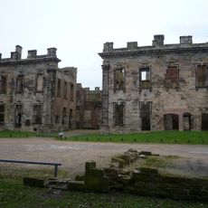
Sutton Scarsdale Hall
2.1 km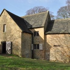
Stainsby Mill
2 km
Church of St John the Baptist, Ault Hucknall
3 km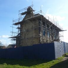
The Elms
3.7 km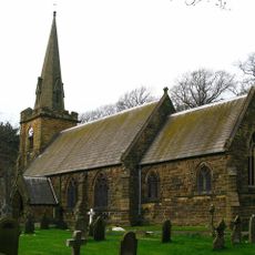
Church of All Saints
710 m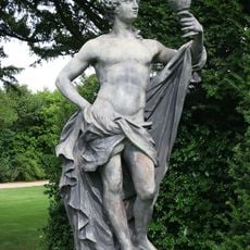
Group Of Six Statues In The Gardens Of Hardwick Hall
3.9 km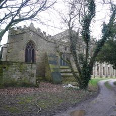
St. Mary's Church, Sutton-cum-Duckmanton
2 km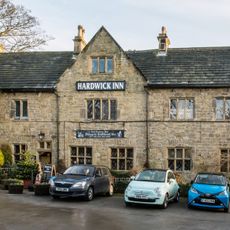
The Hardwick Inn
3.9 km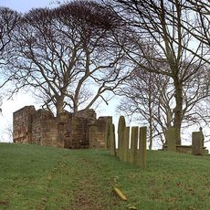
Ruins of Heath Old Church
1.1 km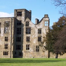
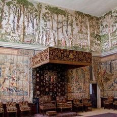
Hardwick Old Hall
3.7 km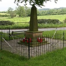
Ault Hucknall War Memorial
2 km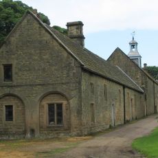
Range of outbuildings and stables, and walls enclosing a courtyard to south of Hardwick Hall
4 km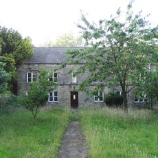
Yew Tree Farmhouse
3.6 km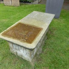
Chest tomb 10 metres south west of Church of St John the Baptist
3 km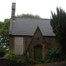
Former Sunday School
3.6 km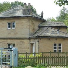
Rowthorne Lodge
3.6 km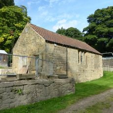
Shed to north of engine house and saw mill
4 km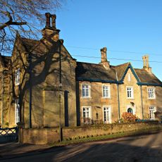
Hall Farmhouse
4.2 km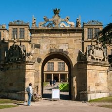
Gazebo And Garden Walls At Hardwick Hall
3.7 km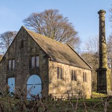
Engine house, saw mill and attached chimney at Hardwick Saw Mill
4.1 km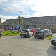
Stables to north west of the Hardwick Inn
3.9 km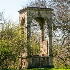
Conduit House south of Hardwick Old Hall
3.8 km
Pear Tree Farmhouse
4.2 km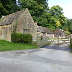
Joiner's shop to north of saw mill
4 km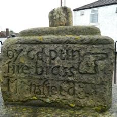
Old Cross
3.8 km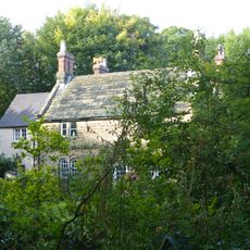
The Grange
3 km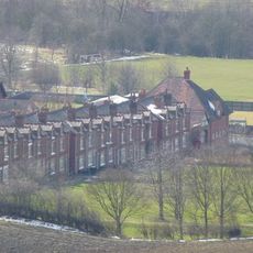
Numbers 7-21 Including The Attached And The Associated Back Yard Walls
4.3 kmBewertungen
Diesen Ort besucht? Tippe auf die Sterne, um ihn zu bewerten und deine Erfahrung oder Fotos mit der Community zu teilen! Jetzt ausprobieren! Sie können jederzeit kündigen.
Entdecke verborgene Schätze auf jedem Abenteuer!
Von charmanten kleinen Cafés bis zu versteckten Aussichtspunkten – entfliehe dem Touristentrubel und finde Orte, die wirklich zu dir passen. Unsere App macht's dir leicht: Sprachsuche, clevere Filter, optimierte Routen und echte Geheimtipps von Reisenden weltweit. Jetzt runterladen und das Abenteuer mobil erleben!

Ein neuer Ansatz für touristische Entdeckungen❞
— Le Figaro
Alle Orte, die eine Entdeckung wert sind❞
— France Info
Ein maßgeschneiderter Ausflug mit nur wenigen Klicks❞
— 20 Minutes