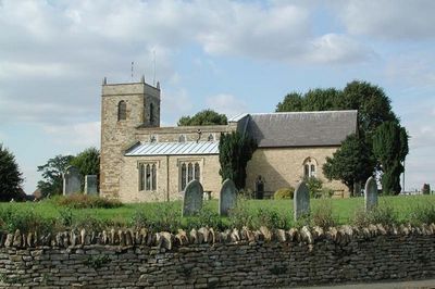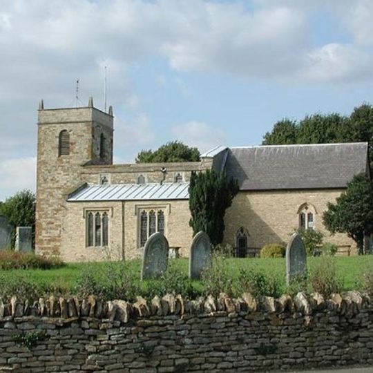
Castlethorpe, village and civil parish in Milton Keynes, Buckinghamshire, England, UK
GPS Koordinaten: 52.09300,-0.84000
Neueste Aktualisierung: 20. März 2025 um 06:27
Cosgrove aqueduct
2.7 km
Wolverton Viaduct
3 km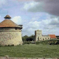
Furtho
2.7 km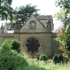
Holy Trinity Church
3.3 km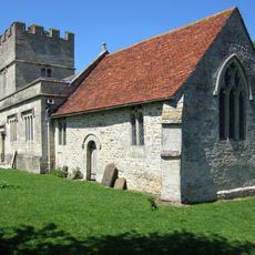
St Bartholomew's Church, Furtho
2.6 km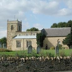
Church of St Simon and St Jude
341 m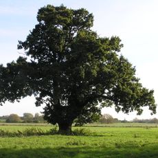
Mill Crook
2.9 km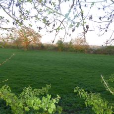
Grafton Regis Meadow
3.8 km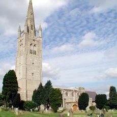
Church of St James the Great
2.4 km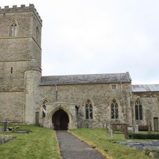
Church of St Mary the Virgin
4.4 km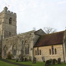
Church of St Peter and St Paul
2.1 km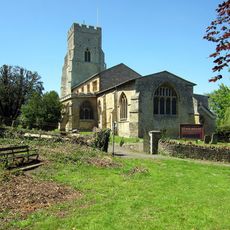
Church of St Nicholas
3.6 km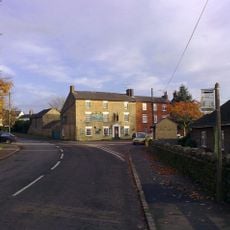
The Carrington Arms Public House
251 m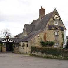
The Barley Mow Public House
1.9 km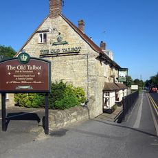
The Old Talbot Public House
4.4 km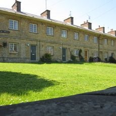
31-45, High Street
3.9 km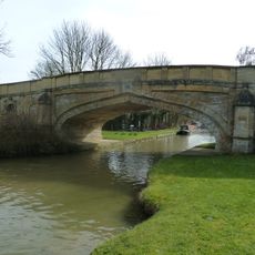
Bridge Number 65
1.8 km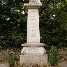
Castlethorpe War Memorial
380 m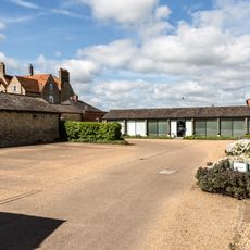
Outbuildings At Manor Farm To North And East Of Manor Farm House
3 km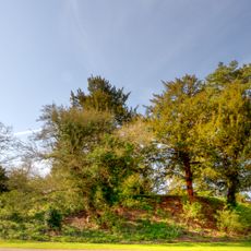
Wolverton Castle
3.2 km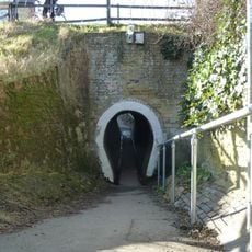
The Horse Tunnel
1.9 km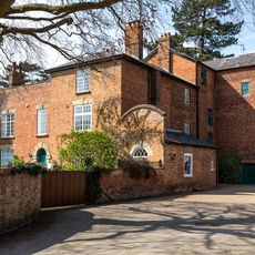
Old Wolverton Mill
3.4 km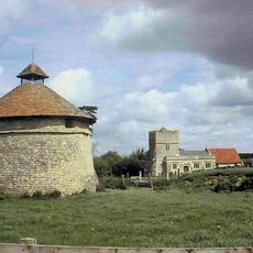
Dovecote At Manor Farm
2.7 km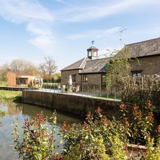
Barn And Coach House To East Of Old Wolverton Mill
3.4 km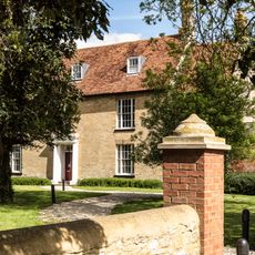
Manor Farm House
3 km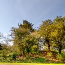
Motte and bailey castle, deserted village and monastic grange at Old Wolverton
3.1 km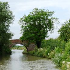
Grand Union Canal Bridge Number 63 At Sp 781 445
1.4 km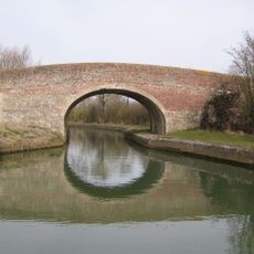
Grand Union Canal Bridge Number 56 At Sp 762 480
4.8 kmBewertungen
Diesen Ort besucht? Tippe auf die Sterne, um ihn zu bewerten und deine Erfahrung oder Fotos mit der Community zu teilen! Jetzt ausprobieren! Sie können jederzeit kündigen.
Entdecke verborgene Schätze auf jedem Abenteuer!
Von charmanten kleinen Cafés bis zu versteckten Aussichtspunkten – entfliehe dem Touristentrubel und finde Orte, die wirklich zu dir passen. Unsere App macht's dir leicht: Sprachsuche, clevere Filter, optimierte Routen und echte Geheimtipps von Reisenden weltweit. Jetzt runterladen und das Abenteuer mobil erleben!

Ein neuer Ansatz für touristische Entdeckungen❞
— Le Figaro
Alle Orte, die eine Entdeckung wert sind❞
— France Info
Ein maßgeschneiderter Ausflug mit nur wenigen Klicks❞
— 20 Minutes
