
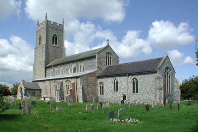
Sparham, village and civil parish in Norfolk, UK
Ort: Breckland District
GPS Koordinaten: 52.73446,1.07005
Neueste Aktualisierung: 7. März 2025 um 23:36
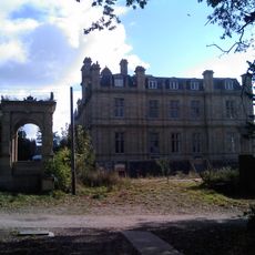
Bylaugh Hall
3.9 km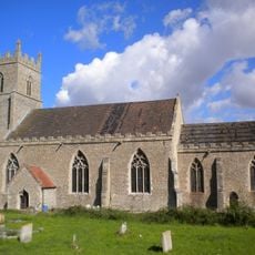
St Mary's Church, Elsing
3.8 km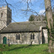
St Faith's Church, Little Witchingham
4.2 km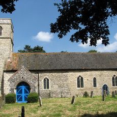
Church of St Andrew
4.8 km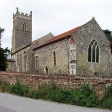
Church of St Thomas
4 km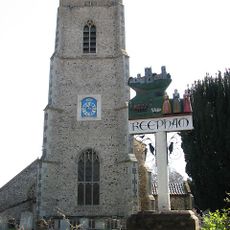
Church of St Michael and All Angels
4.2 km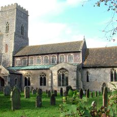
Church of St Mary
3 km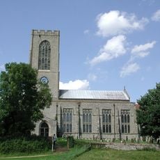
Church of All Saints
5.9 km
Church of St Margaret
1.8 km
Church of the Nativity of St Mary
4.3 km
Church of St Mary
267 m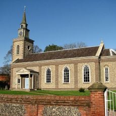
Church of All Saints
3 km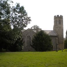
Church of St Mary
4 km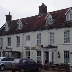
The Bridge Public House
3 km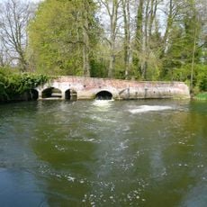
Weir Bridge
1.8 km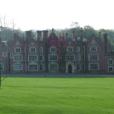
Great Witchingham Hall
3.9 km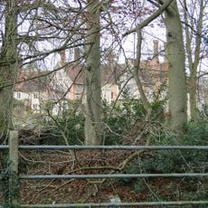
Elsing Hall
4.9 km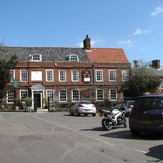
The Old Brewery House, Gates And Railings
4.2 km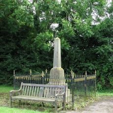
Foxley War Memorial, including railings
4.3 km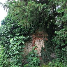
Fragment. Church Of All Saints. 14 Metres South West Of St Michaels Church
4.2 km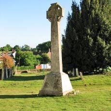
Swanton Morley War Memorial
5.9 km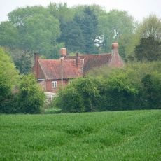
Old Hall
4.7 km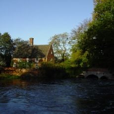
Mill House
1.8 km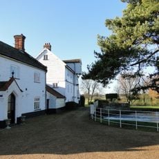
Elsing Mill Including Wheel House And Wheel Adjoining East
3.1 km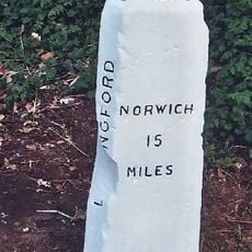
Milestone, opp. side of house on lane to Beck Hall. 6yds E of tel. pole
5.2 km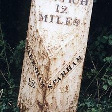
Milepost, 50yds E of Coach House
582 m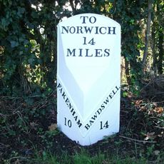
Milepost, 70yds S of Bawdeswell Primary School
3.3 km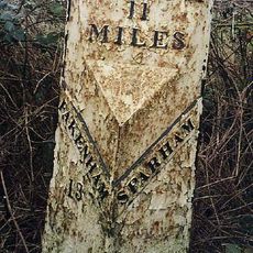
Milepost, 140yds E of turning to Wildlife Park
1.2 kmDiesen Ort besucht? Tippe auf die Sterne, um ihn zu bewerten und deine Erfahrung oder Fotos mit der Community zu teilen! Jetzt ausprobieren! Sie können jederzeit kündigen.
Entdecke verborgene Schätze auf jedem Abenteuer!
Von charmanten kleinen Cafés bis zu versteckten Aussichtspunkten – entfliehe dem Touristentrubel und finde Orte, die wirklich zu dir passen. Unsere App macht's dir leicht: Sprachsuche, clevere Filter, optimierte Routen und echte Geheimtipps von Reisenden weltweit. Jetzt runterladen und das Abenteuer mobil erleben!

Ein neuer Ansatz für touristische Entdeckungen❞
— Le Figaro
Alle Orte, die eine Entdeckung wert sind❞
— France Info
Ein maßgeschneiderter Ausflug mit nur wenigen Klicks❞
— 20 Minutes