
West Witton, Gemeinde in der englischen Grafschaft North Yorkshire
Ort: Richmondshire
GPS Koordinaten: 54.29141,-1.90527
Neueste Aktualisierung: 30. März 2025 um 07:54
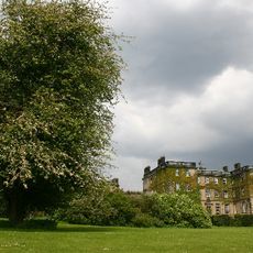
Bolton Hall
1.8 km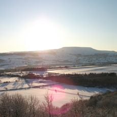
Penhill
2.7 km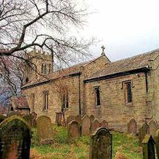
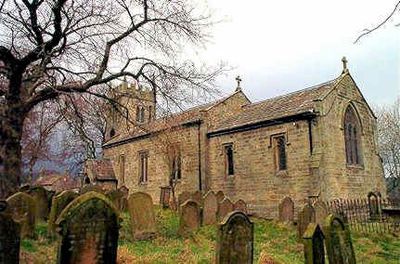
St Bartholomew's Church
169 m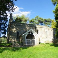
St Mary's Church
2.7 km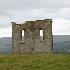
The Mount
2.2 km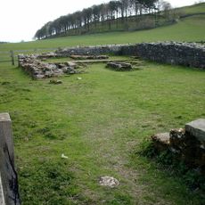
Penhill Preceptory
2.7 km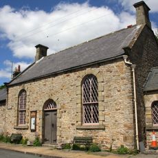
Church of Saint Margaret
2.8 km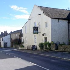
Fox And Hounds Inn
153 m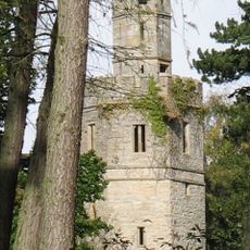
The Tower, Approximately 100 Metres To North East Of Bolton Hall
2 km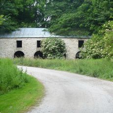
Peat Store Of Keldheads Lead Smelting Mill
3 km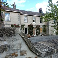
Swinithwaite Hall
1.9 km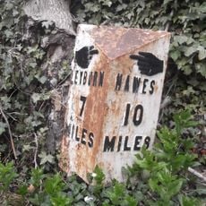
Milestone, Heads Bank, Aysgarth
4.5 km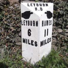
Mile Post On Temple Bank Approximately Three Hundred Metres West Of Temple Farm
3.2 km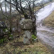
Guide Stone
795 m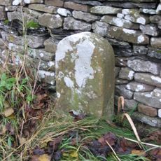
Boundary Stone
4 km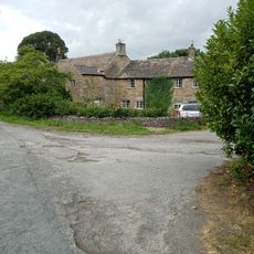
Old Hall
2 km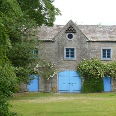
Stables At Flanders Hall
4.5 km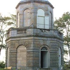
Belvedere
3.1 km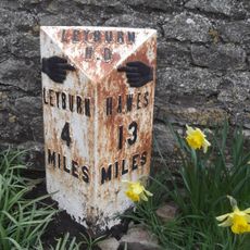
Mile Post Approximately Forty Metres South Of West Witton School
467 m
Flanders Hall
4.5 km
Preston Mill
2.8 km
Barn Approximately 100 Metyres To North Of Swinithwaite Hall
1.9 km
Coach House, Approximately 60 Metres To North Of Swinithwaite Hall
1.9 km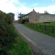
Wing Attached To Rear Of Swinithwaite Hall
1.9 km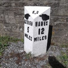
Milestone, 20m SE of Swinithwaite Hall
1.9 km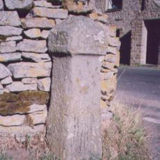
Guidestone, in Melmerby
3.5 km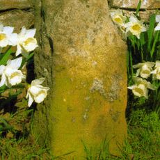
Milestone, X rds S end of village
3 km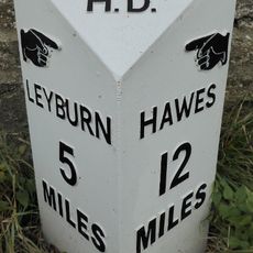
Replacement Milestone, 20m SE of Swinithwaite Hall
1.9 kmDiesen Ort besucht? Tippe auf die Sterne, um ihn zu bewerten und deine Erfahrung oder Fotos mit der Community zu teilen! Jetzt ausprobieren! Sie können jederzeit kündigen.
Entdecke verborgene Schätze auf jedem Abenteuer!
Von charmanten kleinen Cafés bis zu versteckten Aussichtspunkten – entfliehe dem Touristentrubel und finde Orte, die wirklich zu dir passen. Unsere App macht's dir leicht: Sprachsuche, clevere Filter, optimierte Routen und echte Geheimtipps von Reisenden weltweit. Jetzt runterladen und das Abenteuer mobil erleben!

Ein neuer Ansatz für touristische Entdeckungen❞
— Le Figaro
Alle Orte, die eine Entdeckung wert sind❞
— France Info
Ein maßgeschneiderter Ausflug mit nur wenigen Klicks❞
— 20 Minutes