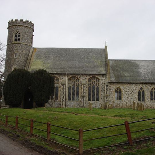
Weeting-with-Broomhill, civil parish in Norfolk, United Kingdom
Ort: Breckland District
GPS Koordinaten: 52.47317,0.62899
Neueste Aktualisierung: 9. März 2025 um 06:52
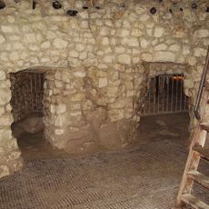
Grimes Graves
3 km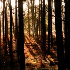
Thetford Forest
1.9 km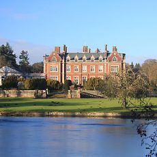
Lynford Hall
5.7 km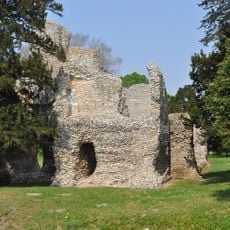
Weeting Castle
891 m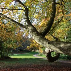
Brandon Country Park
4.2 km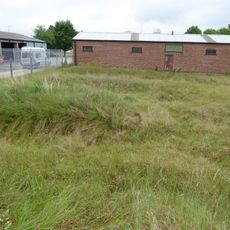
London Road Industrial Estate, Brandon
4.1 km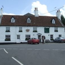
Crown Hotel
4.8 km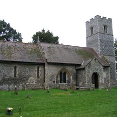
Church of St Mary
3.4 km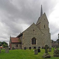
Church of St Leonard
4.6 km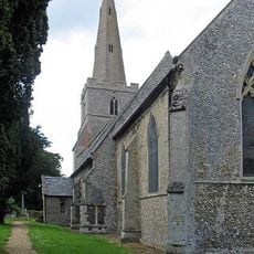
Church of St James
5.4 km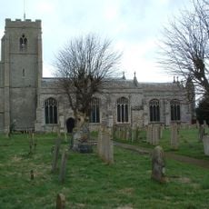
Church of St Peter
3.4 km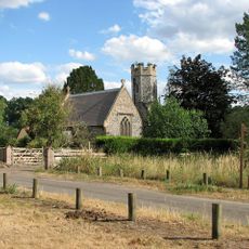
All Saints
4.8 km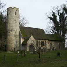
Church of St Mary
5.5 km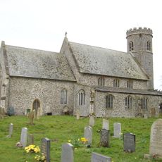
Church of St Mary
1 km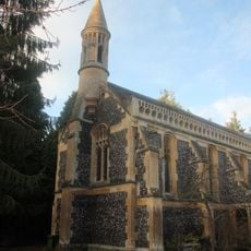
Church of Our Lady of Consolation
5.1 km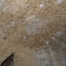
Ice House At Billiard Room Cottage
3.1 km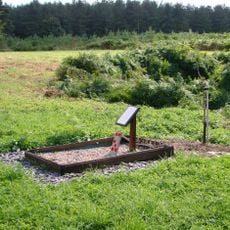
Lancaster HK773 crash memorial, Mundford
2.4 km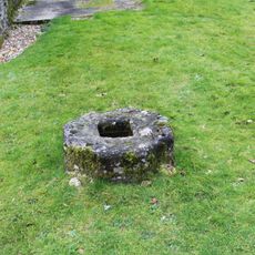
Cross-base 2 Metres North West Of Church Of St Mary
3.4 km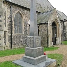
Hockwold cum Wilton War Memorial
5.4 km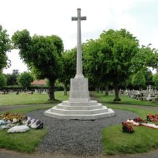
Brandon War Memorial
3.3 km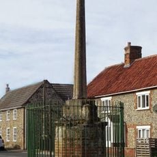
Village Cross
5.3 km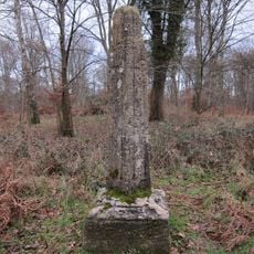
Wayside cross known as Stump Cross in Mount Ephraim Plantation
2.4 km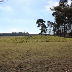
Bowl barrow 230m south west of Little Lodge Farm
5.6 km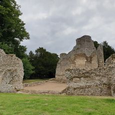
Weeting Castle moated site and 12th century manor house with post-medieval ice house
886 m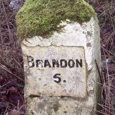
Milestone, 100m S of entrance to caravan park at Methwold Warren
5.5 km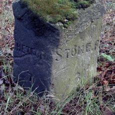
Milestone, Forty Acre Strip
4 km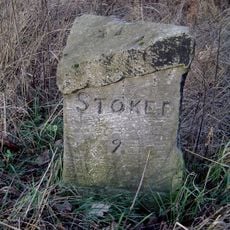
Milestone, N of cross-roads
3.7 km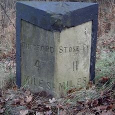
Milestone, West Tofts Heath
5.2 kmDiesen Ort besucht? Tippe auf die Sterne, um ihn zu bewerten und deine Erfahrung oder Fotos mit der Community zu teilen! Jetzt ausprobieren! Sie können jederzeit kündigen.
Entdecke verborgene Schätze auf jedem Abenteuer!
Von charmanten kleinen Cafés bis zu versteckten Aussichtspunkten – entfliehe dem Touristentrubel und finde Orte, die wirklich zu dir passen. Unsere App macht's dir leicht: Sprachsuche, clevere Filter, optimierte Routen und echte Geheimtipps von Reisenden weltweit. Jetzt runterladen und das Abenteuer mobil erleben!

Ein neuer Ansatz für touristische Entdeckungen❞
— Le Figaro
Alle Orte, die eine Entdeckung wert sind❞
— France Info
Ein maßgeschneiderter Ausflug mit nur wenigen Klicks❞
— 20 Minutes
