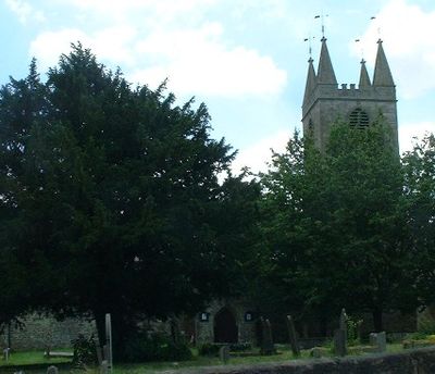
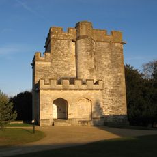
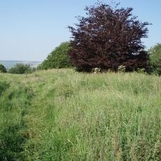
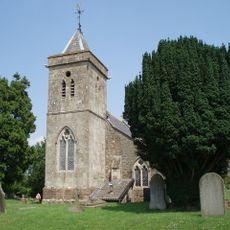
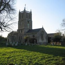
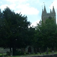
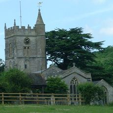
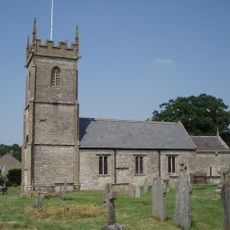
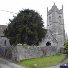
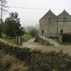
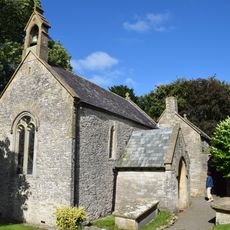
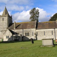
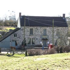
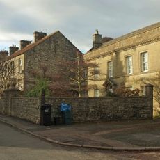
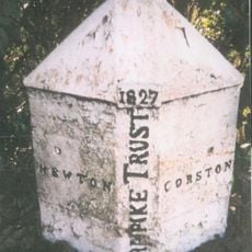
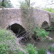
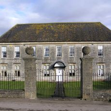
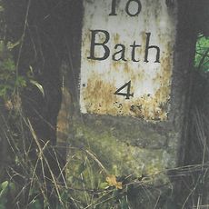
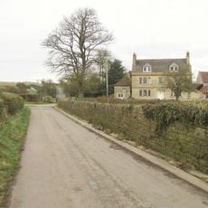
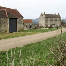
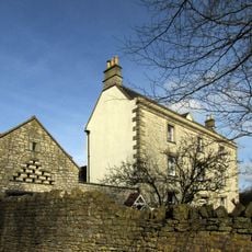
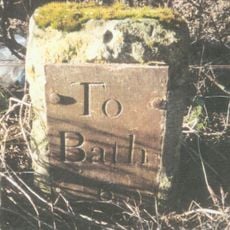
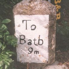
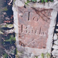
Marksbury, village and civil parish in Somerset, England
Ort: Bath and North East Somerset
GPS Koordinaten: 51.35989,-2.48013
Neueste Aktualisierung: 4. März 2025 um 05:35
Alfred Juwel
3.2 km
Newton Park
3.4 km
Newton St Loe Castle
3.1 km
Stantonbury Camp
1.4 km
Church of St Leonard, Chelwood
3.3 km
Church of St Luke and St Andrew, Priston
3.4 km
Church of St Peter, Marksbury
78 m
Church of St Mary
3.1 km
Church of All Saints, Farmborough
1.9 km
Church of St Lawrence, Stanton Prior
1.2 km
Priston Mill And Attached Pond, Dam And Walls
3 km
Church of St Michael
3 km
Church of All Saints
4 km
The Gamekeeper Public House
2.9 km
Pitfour House
3.7 km
Boundary Post At Ngr St 6967 6527
4.1 km
Arcade About 200 Metres North West Of Hunstrete House
2.1 km
Chewton Keynsham packhorse bridge
4.2 km
Manor Farmhouse
3.8 km
Hunstrete House, Flank Wall And West Wing
2 km
Barn And Attached Farm Buildings About 30 Metres South East Of Poplar Farm
1.4 km
Milestone At National Grid Reference St 6924 6520
3.8 km
Poplar Farmhouse
1.3 km
Park Farmhouse
3.1 km
Conygre House
2.1 km
Milestone, start of dual carraigeway, N of Marksbury
1.2 km
Milestone, Bath Road, Farmborough village, jct with Hunstrete Road
1.8 km
Milestone, E of Stantonbury House and Wheatsheaf PH, W of Corston
2.5 kmBewertungen
Diesen Ort besucht? Tippe auf die Sterne, um ihn zu bewerten und deine Erfahrung oder Fotos mit der Community zu teilen! Jetzt ausprobieren! Sie können jederzeit kündigen.
Entdecke verborgene Schätze auf jedem Abenteuer!
Von charmanten kleinen Cafés bis zu versteckten Aussichtspunkten – entfliehe dem Touristentrubel und finde Orte, die wirklich zu dir passen. Unsere App macht's dir leicht: Sprachsuche, clevere Filter, optimierte Routen und echte Geheimtipps von Reisenden weltweit. Jetzt runterladen und das Abenteuer mobil erleben!
Ein neuer Ansatz für touristische Entdeckungen❞
— Le Figaro
Alle Orte, die eine Entdeckung wert sind❞
— France Info
Ein maßgeschneiderter Ausflug mit nur wenigen Klicks❞
— 20 Minutes