
Barforth, village in the United Kingdom
Ort: County Durham
GPS Koordinaten: 54.54200,-1.74300
Neueste Aktualisierung: 23. April 2025 um 04:54
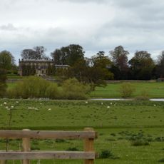
Forcett Hall
4 km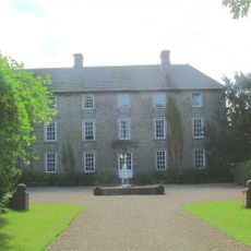
Headlam Hall
2.9 km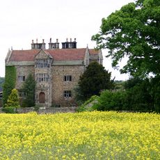
Gainford Hall
532 m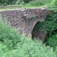
Chapel Bridge Over Black Beck
427 m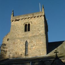
Church of St Mary
424 m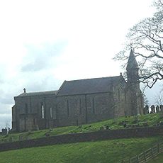
Church of St Andrew
2.4 km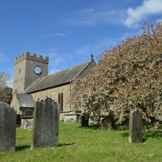
Church of St Cuthbert
4.2 km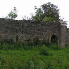
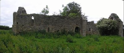
Ruins Of St Lawrence's Chapel
361 m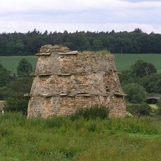
Dovecote 100 metres north of St Lawrence's Chapel
317 m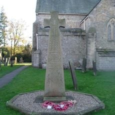
Gainford War Memorial
453 m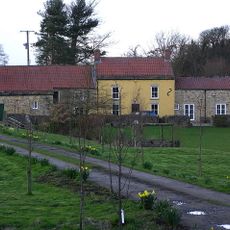
Alwent Mill House
3 km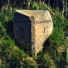
Milestone, 500 Metres South Of Alwent Farmhouse
4.2 km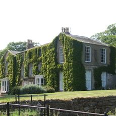
Newsham Hall
4.5 km
Westholme Hall
3.3 km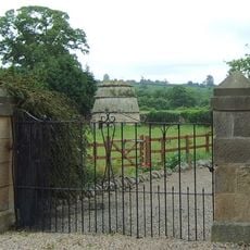
Dovecote,45 Metres South Of Gainford Hall
482 m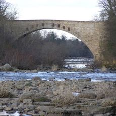
Winston Bridge
2.5 km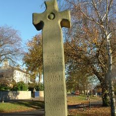
Village Cross
555 m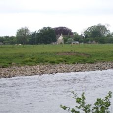
Barforth Hall With Attached Outbuilding To North East
501 m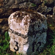
Milestone, 120 Metres South Of Junction With A67
2.7 km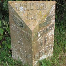
Milepost 400 Metres North Of Junction With Pudding Hill Road
1.9 km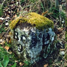
Milestone, 110 Metres South Of Greystone Hall
1.8 km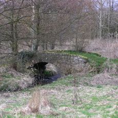
Packhorse bridge
2.9 km
Dovecote
3.9 km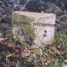
Milestone, 60 Metres South Of East Lodge Of Westholme Hall
3.1 km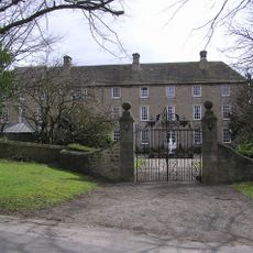
Gate Piers And Walls, 20 Metres North-West Of Headlam Hall
2.9 km
Milepost 400 Metres North Of Junction With Pudding Hill Road
1.9 km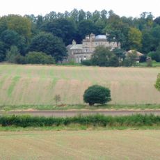
Stubb House
4.6 km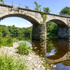
West Tees Railway Bridge
1.4 kmDiesen Ort besucht? Tippe auf die Sterne, um ihn zu bewerten und deine Erfahrung oder Fotos mit der Community zu teilen! Jetzt ausprobieren! Sie können jederzeit kündigen.
Entdecke verborgene Schätze auf jedem Abenteuer!
Von charmanten kleinen Cafés bis zu versteckten Aussichtspunkten – entfliehe dem Touristentrubel und finde Orte, die wirklich zu dir passen. Unsere App macht's dir leicht: Sprachsuche, clevere Filter, optimierte Routen und echte Geheimtipps von Reisenden weltweit. Jetzt runterladen und das Abenteuer mobil erleben!

Ein neuer Ansatz für touristische Entdeckungen❞
— Le Figaro
Alle Orte, die eine Entdeckung wert sind❞
— France Info
Ein maßgeschneiderter Ausflug mit nur wenigen Klicks❞
— 20 Minutes