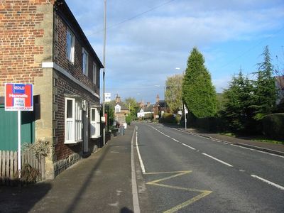
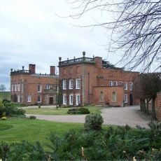
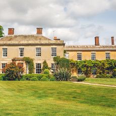
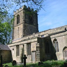
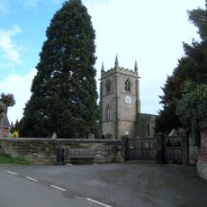
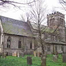
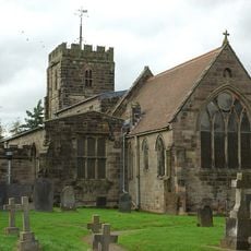
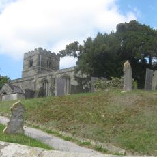
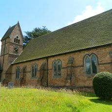
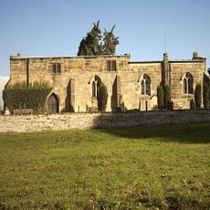
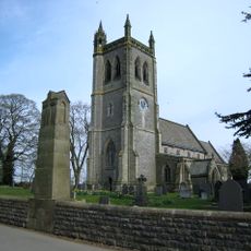
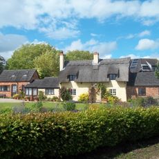
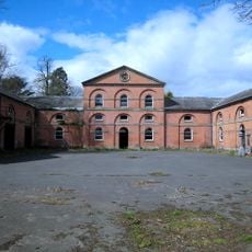
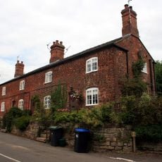
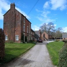
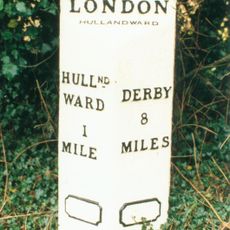
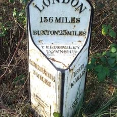
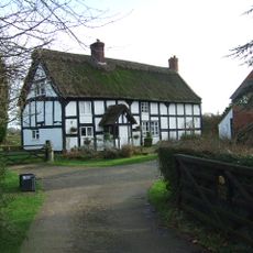
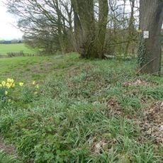
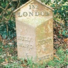
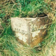
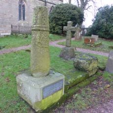
Brailsford, village and civil parish in Derbyshire Dales, Derbyshire, England
Ort: Derbyshire Dales
GPS Koordinaten: 52.97017,-1.62321
Neueste Aktualisierung: 5. März 2025 um 04:16
Longford Hall
5.1 km
Ednaston Manor
1.7 km
Yeldersley Hall, Derbyshire
5.1 km
Church of All Saints
932 m
Church of St Michael
3.5 km
St Chad's Church, Longford
5 km
Church of St Martin
6 km
Church of St Michael
4.2 km
Church of All Saints
3.2 km
Christ Church, Long Lane
3.5 km
Church of All Saints
5.4 km
War Memorial South West of Church of St Martin
6 km
Yew Tree Cottage
3.7 km
Saw Mill
4.8 km
Park View Cottage
5.7 km
The Saracen's Head Public House
3.5 km
Thatched Cottage
3.6 km
Stable Block And Coach House At Longford Hall Farm
5 km
Terrace of three cottages opposite the Saracen's Head pub
3.5 km
Shirley Mill Farmhouse
4.1 km
Mile Post At Os 282 453
4.7 km
Gates And Gatepiers To East Of Longford Hall
5 km
Mile Post At Os 212435
4.7 km
Chapelhouse Farmhouse
5.1 km
Ravensdale deer park, lodge, mill and fishpond
2.9 km
Mile Post At Os 293 425
4 km
Milepost At Os 287 438
4.1 km
Anglo-Scandinavian high cross shaft and medieval cross base in the churchyard of All Saints' Church
930 mDiesen Ort besucht? Tippe auf die Sterne, um ihn zu bewerten und deine Erfahrung oder Fotos mit der Community zu teilen! Jetzt ausprobieren! Sie können jederzeit kündigen.
Entdecke verborgene Schätze auf jedem Abenteuer!
Von charmanten kleinen Cafés bis zu versteckten Aussichtspunkten – entfliehe dem Touristentrubel und finde Orte, die wirklich zu dir passen. Unsere App macht's dir leicht: Sprachsuche, clevere Filter, optimierte Routen und echte Geheimtipps von Reisenden weltweit. Jetzt runterladen und das Abenteuer mobil erleben!
Ein neuer Ansatz für touristische Entdeckungen❞
— Le Figaro
Alle Orte, die eine Entdeckung wert sind❞
— France Info
Ein maßgeschneiderter Ausflug mit nur wenigen Klicks❞
— 20 Minutes