
Tunstall, village in Kent, United Kingdom
Ort: Borough of Swale
GPS Koordinaten: 51.31902,0.72063
Neueste Aktualisierung: 8. März 2025 um 14:08
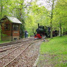
Bredgar and Wormshill Light Railway
3.6 km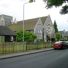
Church of All Saints, Murston
3.4 km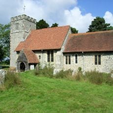
St Giles, Wormshill
4.1 km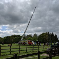
Bredgar & Wormshill Railway
3.6 km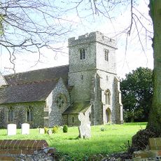
Church of St Dunstan
3.9 km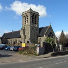
Church of the Holy Trinity
2.6 km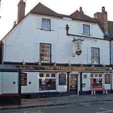
The Three Hats Inn
3.5 km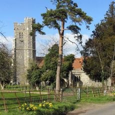
Church of St Nicholas
3 km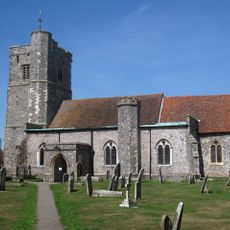
Church of St John the Baptist
1.9 km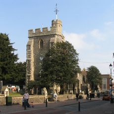
Church of St Michael
2.7 km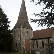
Church of St Lawrence
3.5 km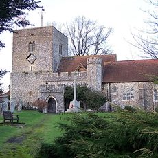
Church of St Peter and St Paul
2.2 km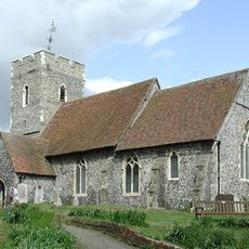
Church of St Bartholomew
3.9 km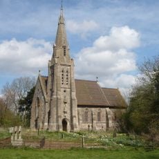
Church of St Catherine
3.9 km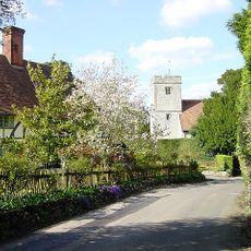
Church of St Mary and the Holy Cross
2.6 km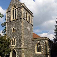
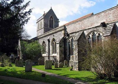
Church of St John the Baptist
624 m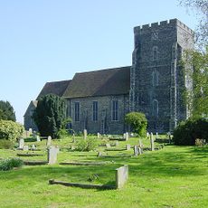
Parish Church of the Holy Trinity
4.3 km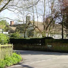
Milstead Manor
2.7 km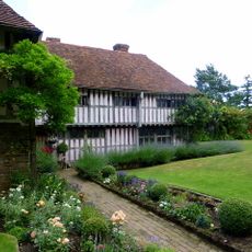
Bexon Manor
1.9 km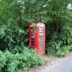
K6 Telephone Kiosk
4.2 km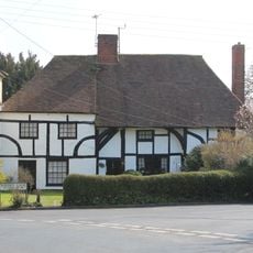
245 And 247, Borden Lane
1.7 km
Burnham House
1.9 km
Chantry House
1.9 km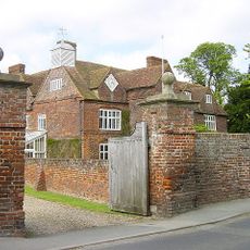
Tunstall House
588 m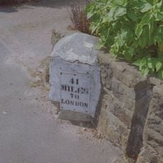
Milestone, Canterbury Road, by No. 201 "The Milestone"
3.4 km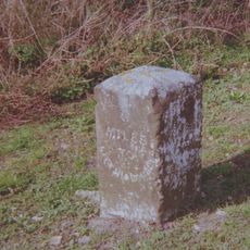
Milestone, Chestnut Street, opp. "Greenlands", S of bus shelter
3.9 km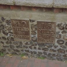
Milestone, High Street, SW corner of St Michael's Churchyard, in pedestrian zone
2.6 km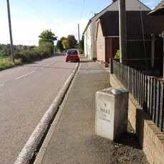
Milestone, Fox Cottage, Chestnut Street, just E of town between J5 of M2 and Key Street roundabout
3.2 kmBewertungen
Diesen Ort besucht? Tippe auf die Sterne, um ihn zu bewerten und deine Erfahrung oder Fotos mit der Community zu teilen! Jetzt ausprobieren! Sie können jederzeit kündigen.
Entdecke verborgene Schätze auf jedem Abenteuer!
Von charmanten kleinen Cafés bis zu versteckten Aussichtspunkten – entfliehe dem Touristentrubel und finde Orte, die wirklich zu dir passen. Unsere App macht's dir leicht: Sprachsuche, clevere Filter, optimierte Routen und echte Geheimtipps von Reisenden weltweit. Jetzt runterladen und das Abenteuer mobil erleben!

Ein neuer Ansatz für touristische Entdeckungen❞
— Le Figaro
Alle Orte, die eine Entdeckung wert sind❞
— France Info
Ein maßgeschneiderter Ausflug mit nur wenigen Klicks❞
— 20 Minutes