
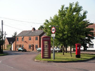
Lilbourne, village and civil parish in Northamptonshire, United Kingdom
GPS Koordinaten: 52.38637,-1.17156
Neueste Aktualisierung: 6. März 2025 um 03:39
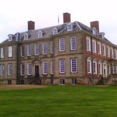
Stanford Hall, Leicestershire
3.3 km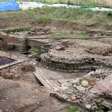
Tripontium
3.8 km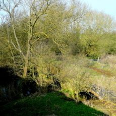
Dow Bridge
2.4 km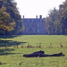
Stanford Park
3.1 km
Cave's Inn Pits
3.7 km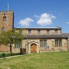
Church of Saint John the Baptist
3.7 km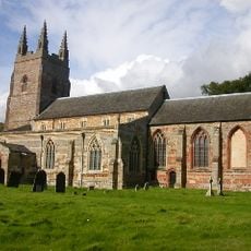
Church of St Nicholas, Stanford on Avon
3.1 km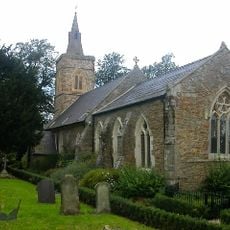
Church of St Andrew
2.9 km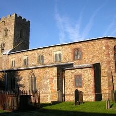
Church of All Saints
2.7 km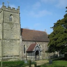
Church of All Saints
3.7 km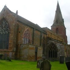
Church of St Margaret
4.9 km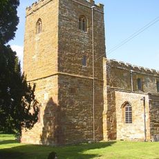
Church of All Saints
753 m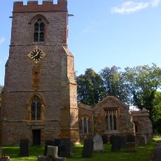
Church of All Saints
4.1 km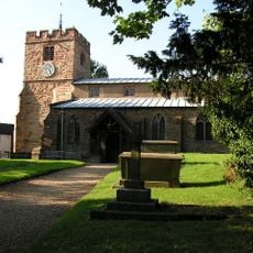
Church of St Mary the Virgin
3.4 km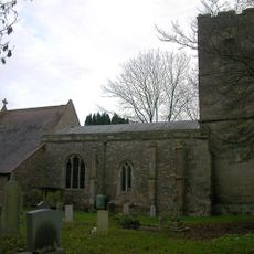
Church of St Thomas
1.9 km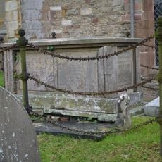
Chest Tomb Approximately 4 Metres North Of North East Corner Of Chancel At Church Of St Margaret
4.9 km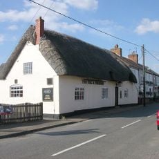
Stag And Pheasant Public House
3.6 km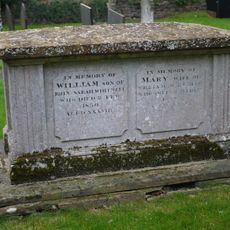
Chest Tomb Approximately 5 Metres South Of Chancel Of Church Of St Margaret
4.9 km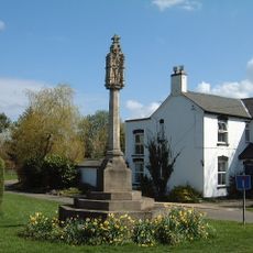
Yelvertoft War Memorial at Junction of Swinnertons Lane and High Street
3.5 km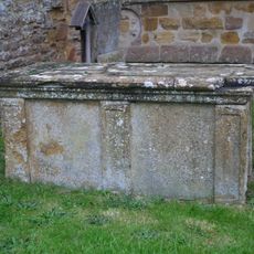
Chest Tomb Approximately 2 Metres South Of Chancel Of Church Of St Margaret
4.9 km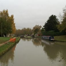
Hillmorton Bottom Lock (Locks 2 And 3), Former Oxford Canal
3.5 km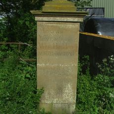
Milestone At Sp 5940 7789
3.1 km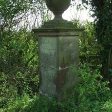
Milestone At Sp 5940 7789
3.1 km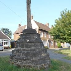
Hillmorton Village Cross
4.4 km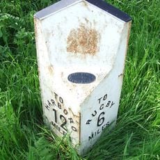
Milepost At National Grid Reference Sp 572897
3 km
Birdcage Bridge
4.9 km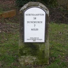
Milestone, Main Road, E of bridleway to Kilsby
4.9 km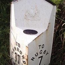
Milepost, Rugby Road; N of Gravel Hill
4.3 kmBewertungen
Diesen Ort besucht? Tippe auf die Sterne, um ihn zu bewerten und deine Erfahrung oder Fotos mit der Community zu teilen! Jetzt ausprobieren! Sie können jederzeit kündigen.
Entdecke verborgene Schätze auf jedem Abenteuer!
Von charmanten kleinen Cafés bis zu versteckten Aussichtspunkten – entfliehe dem Touristentrubel und finde Orte, die wirklich zu dir passen. Unsere App macht's dir leicht: Sprachsuche, clevere Filter, optimierte Routen und echte Geheimtipps von Reisenden weltweit. Jetzt runterladen und das Abenteuer mobil erleben!

Ein neuer Ansatz für touristische Entdeckungen❞
— Le Figaro
Alle Orte, die eine Entdeckung wert sind❞
— France Info
Ein maßgeschneiderter Ausflug mit nur wenigen Klicks❞
— 20 Minutes