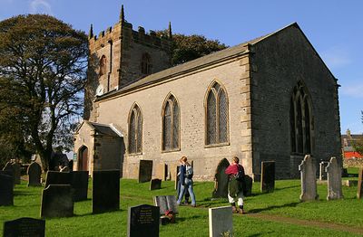
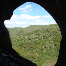
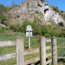
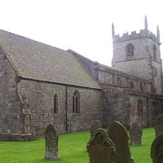
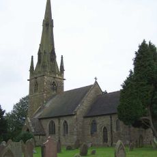
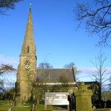
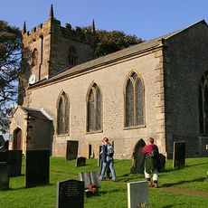
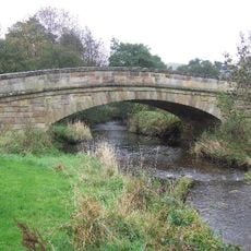
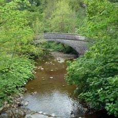
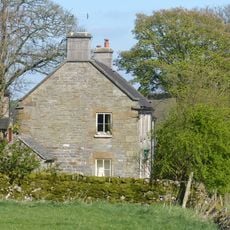
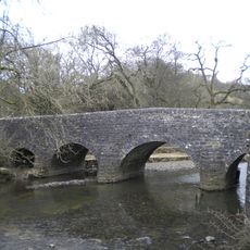
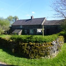
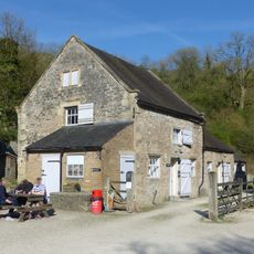
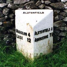
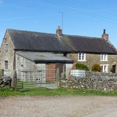
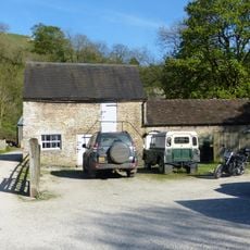
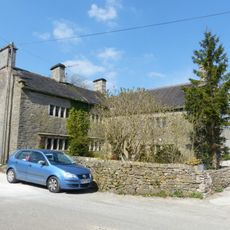
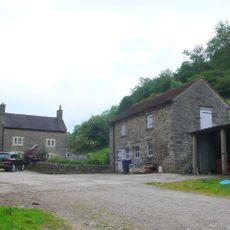
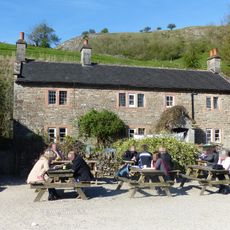
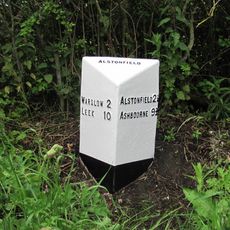
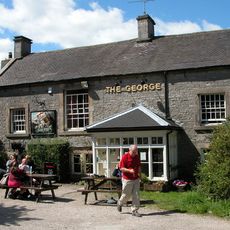
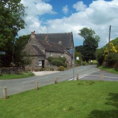
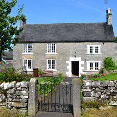
Wetton, village and civil parish in Staffordshire, UK
GPS Koordinaten: 53.09529,-1.83791
Neueste Aktualisierung: 3. März 2025 um 15:12
Thor’s Cave
1.2 km
Beeston Tor
1.4 km
Church of St Peter
2.3 km
St Bartholomew's Church, Butterton
3.5 km
Church of All Saints
2.5 km
Church of St Margaret
87 m
Obelisk and memorial approximately 50 yards south of Church of All Saints
2.6 km
Former Coach House, Stables And Accommodation For Grooms Approximately 30 Yards North West Of The George
2.2 km
Dale Bridge
3.4 km
Pepper Inn
1.4 km
Weags Bridge
1.5 km
Bridge over River Manifold (that part in Fawfieldhead CP)/Bridge over River Manifold (that part In Sheen CP)
3.9 km
Darfar Bridge
1.4 km
Cawbrook Farmhouse
2.2 km
Wetton Bridge
1.6 km
Dalefields and attached outbuildings
2.3 km
Stable Block And Granary East Of Wetton Mill House
1.6 km
Milepost Approximately 100 Yards North West Of The Hollows
1.9 km
Grindley Croft
2.3 km
Stable block and granary approximately 20 yards south east of Wetton Mill House
1.5 km
Manor House
121 m
Dale Farmhouse
1.7 km
Wetton Mill House
1.6 km
Milepost Approximately 1 Mile North West Of Gateham Grange
3 km
The George Inn
2.2 km
Chapel Farm House
2.2 km
Green Farmhouse
2.1 km
Alstonefield Geohut
2 kmBewertungen
Diesen Ort besucht? Tippe auf die Sterne, um ihn zu bewerten und deine Erfahrung oder Fotos mit der Community zu teilen! Jetzt ausprobieren! Sie können jederzeit kündigen.
Entdecke verborgene Schätze auf jedem Abenteuer!
Von charmanten kleinen Cafés bis zu versteckten Aussichtspunkten – entfliehe dem Touristentrubel und finde Orte, die wirklich zu dir passen. Unsere App macht's dir leicht: Sprachsuche, clevere Filter, optimierte Routen und echte Geheimtipps von Reisenden weltweit. Jetzt runterladen und das Abenteuer mobil erleben!
Ein neuer Ansatz für touristische Entdeckungen❞
— Le Figaro
Alle Orte, die eine Entdeckung wert sind❞
— France Info
Ein maßgeschneiderter Ausflug mit nur wenigen Klicks❞
— 20 Minutes