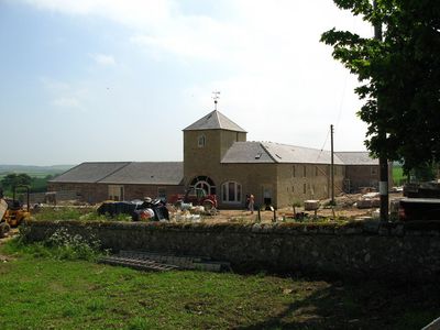
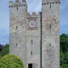
Adderstone with Lucker, civil parish in Northumberland, England
Die Community neugieriger Reisender
AroundUs vereint tausende ausgewählte Orte, lokale Tipps und versteckte Schätze, täglich bereichert von über 60,000 Mitwirkenden weltweit.
Around Us ist für dein Smartphone gemacht — richte deine Kamera auf die Straßen und entdecke die Sehenswürdigkeiten und Orte um dich herum in Augmented Reality. Around Us ist für dein Smartphone gemacht — Truhen schalten frei, wenn du läufst, erkundest und Orte fotografierst.
Wir benötigen Ihren Standort, um Ihnen interessante Orte in der Nähe zu zeigen
Finden Sie interessante Orte und versteckte Schätze in Ihrer Nähe
Erhalten Sie genaue Wegbeschreibungen und Entfernungen zu Orten
Ihr Standort wird niemals mit anderen Nutzern geteilt. Er wird nur verwendet, wenn Sie auf die Standort-Schaltfläche tippen.

Die Community neugieriger Reisender
AroundUs vereint tausende ausgewählte Orte, lokale Tipps und versteckte Schätze, täglich bereichert von über 60,000 Mitwirkenden weltweit.


Noch keine Bewertung
Noch keine Diskussion
Von charmanten kleinen Cafés bis zu versteckten Aussichtspunkten – entfliehe dem Touristentrubel und finde Orte, die wirklich zu dir passen. Unsere App macht's dir leicht: Sprachsuche, clevere Filter, optimierte Routen und echte Geheimtipps von Reisenden weltweit. Jetzt runterladen und das Abenteuer mobil erleben!

Ein neuer Ansatz für touristische Entdeckungen❞
— Le Figaro
Alle Orte, die eine Entdeckung wert sind❞
— France Info
Ein maßgeschneiderter Ausflug mit nur wenigen Klicks❞
— 20 Minutes
Öffnen Sie die Kamera-App auf Ihrem Handy.
Richten Sie die Kamera auf den QR-Code. Eine Benachrichtigung erscheint.
Tippen Sie auf die Benachrichtigung, um den Link zu öffnen.