
Shenley Church End
Shenley Church End, suburb and civil parish in Milton Keynes, Buckinghamshire, England, UK
GPS Koordinaten: 52.02200,-0.78800
Neueste Aktualisierung: 24. März 2025 um 08:57
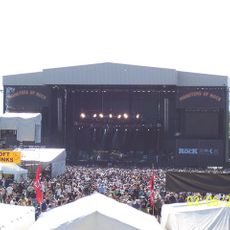
National Bowl
1.9 km
Concrete Cows
3.3 km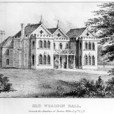
Whaddon Hall
3.2 km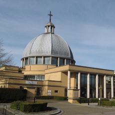
Church of Christ the Cornerstone
2.8 km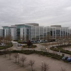
Quadrant:MK
2 km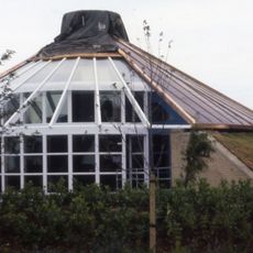
Energy World
1.2 km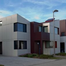
Oxley Woods
1.7 km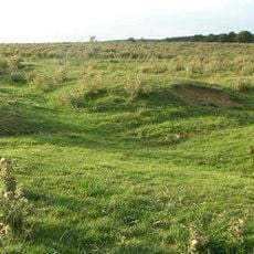
Snelshall Priory
2.7 km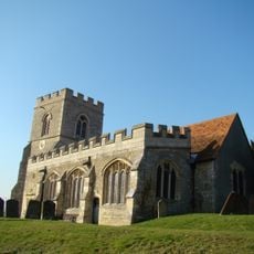
All Saints Church, Loughton
1.3 km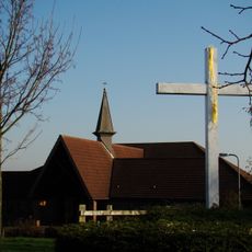
Church of the Servant King, Furzton
1.9 km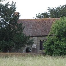
St Giles's Church, Tattenhoe
2.7 km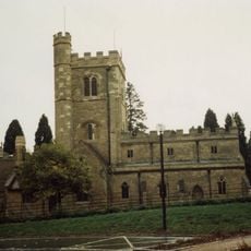
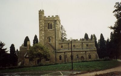
St. Mary's Church, Shenley
95 m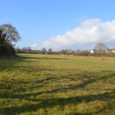
Oxley Mead
2.3 km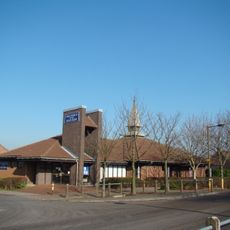
Church of the Holy Cross, Two Mile Ash
1.9 km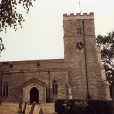
Church of St Mary
3.7 km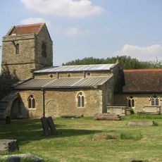
Church of St Lawrence
2.8 km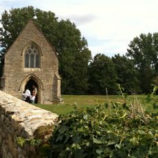
Chapel To North Of Bradwell Abbey House
3 km
Christ the Vine
2.9 km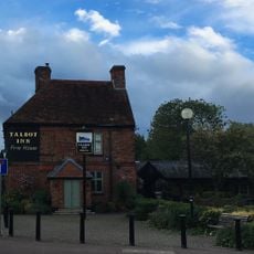
The Talbot Inn
580 m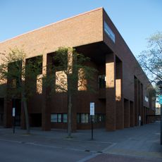
Milton Keynes Central Library
3.1 km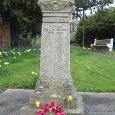
Shenley War Memorial
34 m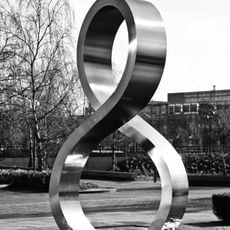
Octo
2.9 km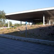
Former Bus Station, Station Square, Milton Keynes
1.8 km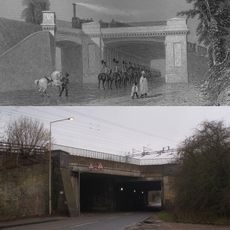
Denbigh Hall Railway Bridge
3.3 km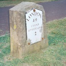
Milestone, Watling Street; on brow of hill in open area, Two Mile Ash
2.3 km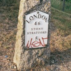
Milestone, Watling Street; 100m W of roundabout with Standing Way, W of Redmoor
2.6 km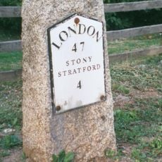
Milestone, Watling Street; Shenley Lodge, at jct with Kelvin Drive, N of Chaffron Way roundabout
1.2 km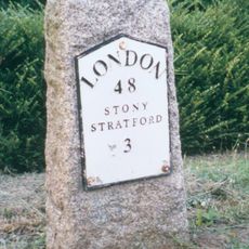
Milestone, Watling Street; at jct with Old Bell Lane, N of Shenley Church End
792 mDiesen Ort besucht? Tippe auf die Sterne, um ihn zu bewerten und deine Erfahrung oder Fotos mit der Community zu teilen! Jetzt ausprobieren! Sie können jederzeit kündigen.
Entdecke verborgene Schätze auf jedem Abenteuer!
Von charmanten kleinen Cafés bis zu versteckten Aussichtspunkten – entfliehe dem Touristentrubel und finde Orte, die wirklich zu dir passen. Unsere App macht's dir leicht: Sprachsuche, clevere Filter, optimierte Routen und echte Geheimtipps von Reisenden weltweit. Jetzt runterladen und das Abenteuer mobil erleben!

Ein neuer Ansatz für touristische Entdeckungen❞
— Le Figaro
Alle Orte, die eine Entdeckung wert sind❞
— France Info
Ein maßgeschneiderter Ausflug mit nur wenigen Klicks❞
— 20 Minutes