
Coleshill, Gemeinde in der englischen Grafschaft Oxfordshire
Ort: Vale of White Horse
Grenzt an: Buscot, Watchfield, Longcot, Great Coxwell
GPS Koordinaten: 51.64200,-1.66060
Neueste Aktualisierung: 11. April 2025 um 05:41
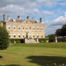
Buscot Park
3.2 km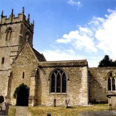
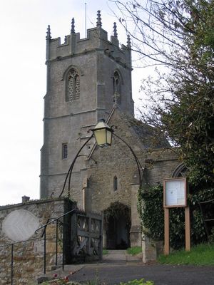
Church of All Saints
50 m
Buscot Park: East Pavilion With Attached Terrace Walls And Gatepier
3.2 km
16 and 17, Church Lane
36 m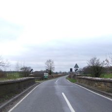
Coleshill Bridge (That Part In Coleshill C.P.)
294 m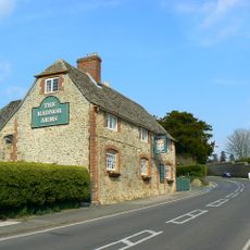
The Radnor Arms Public House
127 m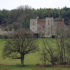
Strattenborough Castle
1.6 km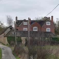
Collymore Farmhouse including former cattle shed range to south east
1.7 km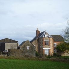
Ashencopse Farmhouse
1.5 km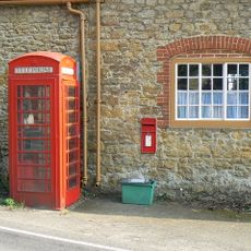
K6 telephone kiosk outside Coleshill Post Office
56 m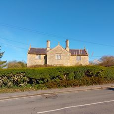
1 and 2
195 m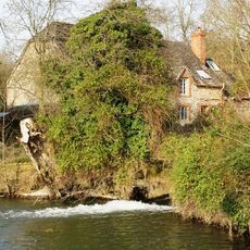
The Mill House
349 m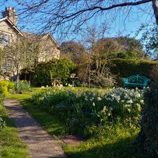
26 And 27
38 m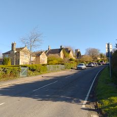
3 And 4
170 m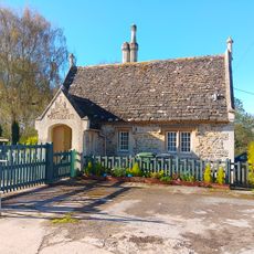
Lower Lodge To Coleshill Park
247 m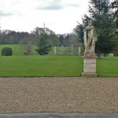
Buscot Park: Southern Screen With Attached Terrace Walls And Gate Piers
3.1 km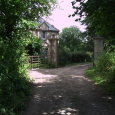
Waterloo Lodge
1.4 km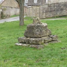
Village Cross
6 m
Courtleaze Farmhouse
179 m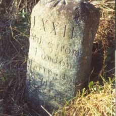
Milestone approximately 70 metres to west of turning to Great Coxwell
3.1 km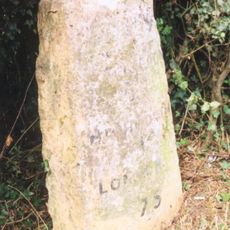
Milepost East Of Wicksted Farmhouse
1.6 km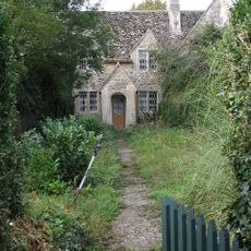
35-37
212 m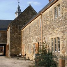
Courtleaze Farm buildings and attached gatepiers and rickyard walls
186 m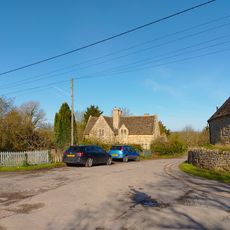
52 And 53
232 m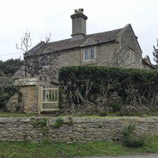
Bushells
37 m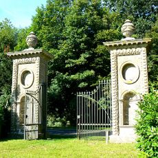
Coleshill Park, Great Piers, including cast iron gates
656 m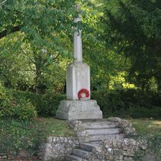
Coleshill War Memorial, Oxfordshire
104 m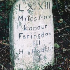
Milestone, W of Colleymore Farm
1.5 kmDiesen Ort besucht? Tippe auf die Sterne, um ihn zu bewerten und deine Erfahrung oder Fotos mit der Community zu teilen! Jetzt ausprobieren! Sie können jederzeit kündigen.
Entdecke verborgene Schätze auf jedem Abenteuer!
Von charmanten kleinen Cafés bis zu versteckten Aussichtspunkten – entfliehe dem Touristentrubel und finde Orte, die wirklich zu dir passen. Unsere App macht's dir leicht: Sprachsuche, clevere Filter, optimierte Routen und echte Geheimtipps von Reisenden weltweit. Jetzt runterladen und das Abenteuer mobil erleben!

Ein neuer Ansatz für touristische Entdeckungen❞
— Le Figaro
Alle Orte, die eine Entdeckung wert sind❞
— France Info
Ein maßgeschneiderter Ausflug mit nur wenigen Klicks❞
— 20 Minutes