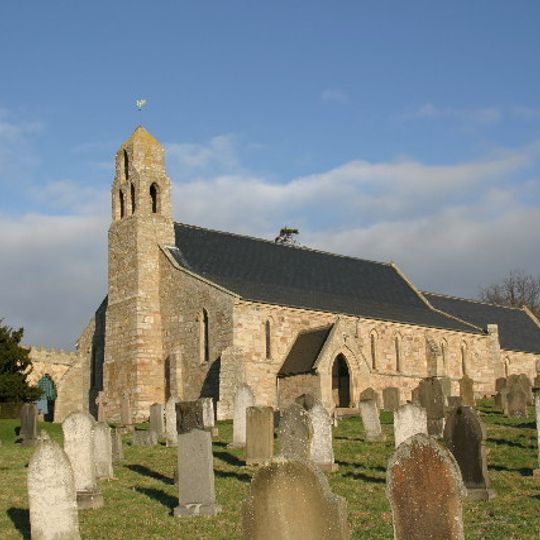
Ford, village and civil parish in Northumberland, England, UK
AroundUs vereint tausende ausgewählte Orte, lokale Tipps und versteckte Schätze, täglich bereichert von über 60,000 Mitwirkenden weltweit. Alle Orte in der Nähe entdecken (Northumberland).
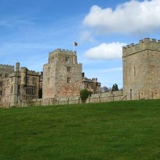
Ford Castle
479 m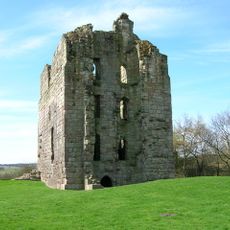
Etal Castle
3 km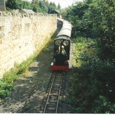
Heatherslaw Light Railway
2.4 km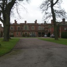
Pallinsburn House
5 km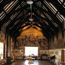
Lady Waterford Hall
598 m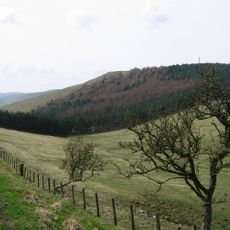
Housedon Hill
5.9 km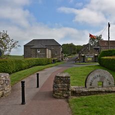
Heatherslaw Mill
1.7 km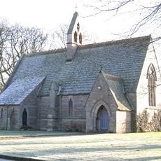
Church of St Mary the Virgin
2.8 km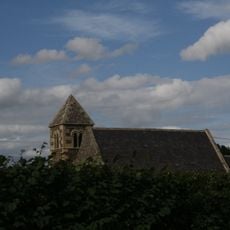
Church of St Paul
5.2 km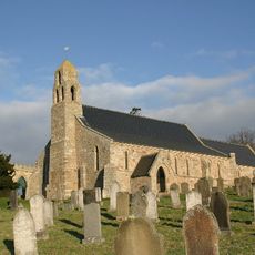
Church of St Michael and All Angels
346 m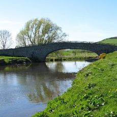
Langham Bridge
8 km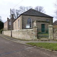
Primitive Methodist Chapel
3.4 km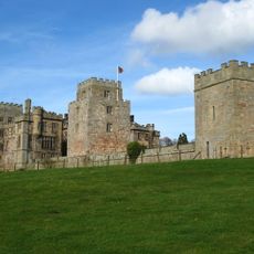
Ford Castle Flagpole Tower and Forecourt Wall Attached to North
435 m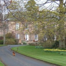
Etal Manor
2.8 km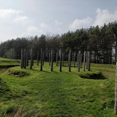
Maelmin Henge
3.5 km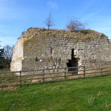
Parson's Tower
360 m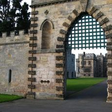
Ford Castle Portcullis Gate, Armoury Tower and Forecourt Walls to Ford Castle
399 m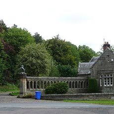
West Lodge And Gateway To Ford Castle
624 m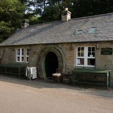
Ford Smithy
700 m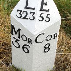
Milepost Circa 3/4 Mile South Of Millfield
4.1 km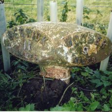
Milepost Circa 100 Yards North Of Hay Farm Road End
1.2 km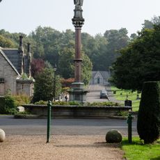
The Waterford Fountain
546 m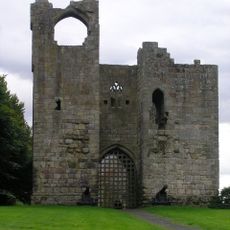
Etal Castle Gate Tower, South Curtain Wall And South West Tower
2.9 km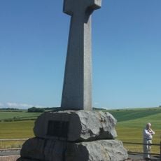
Flodden Memorial
5.5 km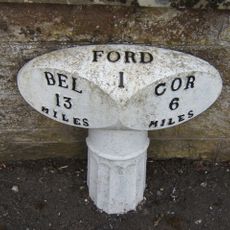
Milepost Beside Ford Castle West Lodge
598 m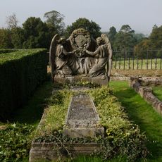
Gravestone Of Louisa, Marchioness Of Waterford, Circa 10 Yards West Of Church Of St Michael
338 m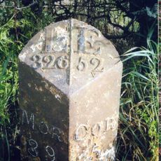
Milepost Circa 200 Yards West Of Mount Pleasant
2.3 km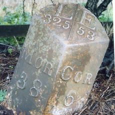
Milepost Circa 50 Yards North Of Junction With B6352
1.9 kmEntdecke verborgene Schätze auf jedem Abenteuer!
Von charmanten kleinen Cafés bis zu versteckten Aussichtspunkten – entfliehe dem Touristentrubel und finde Orte, die wirklich zu dir passen. Unsere App macht's dir leicht: Sprachsuche, clevere Filter, optimierte Routen und echte Geheimtipps von Reisenden weltweit. Jetzt runterladen und das Abenteuer mobil erleben!

Ein neuer Ansatz für touristische Entdeckungen❞
— Le Figaro
Alle Orte, die eine Entdeckung wert sind❞
— France Info
Ein maßgeschneiderter Ausflug mit nur wenigen Klicks❞
— 20 Minutes
