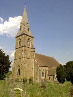
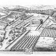
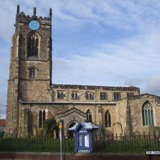
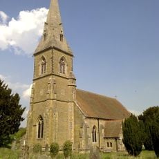
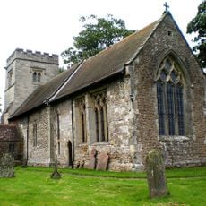
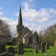
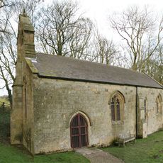
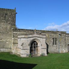
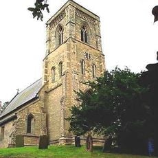
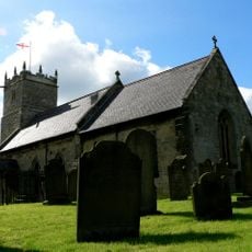
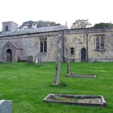
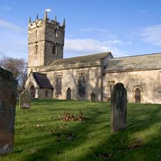
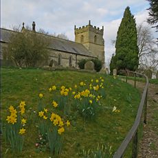
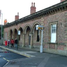
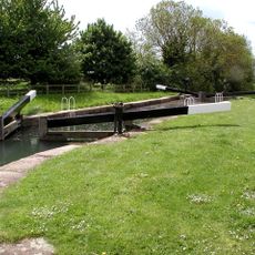
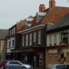
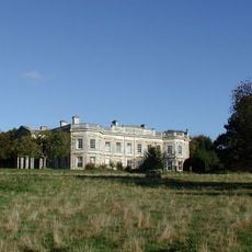
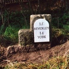
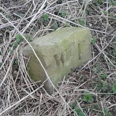
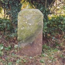
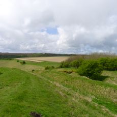
Warter, village in the United Kingdom
GPS Koordinaten: 53.94103,-0.67967
Neueste Aktualisierung: 11. Mai 2025 um 02:38
Londesborough Hall
4.8 km
Burnby Hall Gardens
6.5 km
Church of All Saints, Pocklington
6.6 km
St James' Church, Warter
294 m
Church of Saint Giles
5 km
Church of St Edith
8.5 km
Church of St. Helen
4.1 km
Church of All Saints, Londesborough
4.9 km
Church of Saint James
3.2 km
Church of Saint Martin
8.1 km
Church of St. Mary
5.5 km
Church of Saint Ethelburgh
6.5 km
Church of St Mary
9.1 km
Church of St. Andrew
7.9 km
Church of All Saints
7.3 km
Church of St Margaret
4.1 km
Church of St. Martin
6.3 km
Church of All Saints
7 km
Railway Station
6.7 km
Pocklington Canal Top Lock And Canal Head
7.5 km
Pocklington Arts Centre
6.6 km
Kilnwick Percy Hall
4.2 km
Milestone And Mounting Block About 75 Metres South-East Of Southmoor House
6.9 km
Boundary Stone At Ngr Se 871539
3.7 km
Milestone About 155 Metres West Of Brickyard Cottages
1.5 km
Sections of single and multiple linear boundary dykes on Huggate Pasture and Frendal Dale
5.5 km
Milestone, just N of Middleton on the Wolds
7.4 km
Milestone, lay-by on E-bound side of dual carriageway
6.7 kmBewertungen
Diesen Ort besucht? Tippe auf die Sterne, um ihn zu bewerten und deine Erfahrung oder Fotos mit der Community zu teilen! Jetzt ausprobieren! Sie können jederzeit kündigen.
Entdecke verborgene Schätze auf jedem Abenteuer!
Von charmanten kleinen Cafés bis zu versteckten Aussichtspunkten – entfliehe dem Touristentrubel und finde Orte, die wirklich zu dir passen. Unsere App macht's dir leicht: Sprachsuche, clevere Filter, optimierte Routen und echte Geheimtipps von Reisenden weltweit. Jetzt runterladen und das Abenteuer mobil erleben!
Ein neuer Ansatz für touristische Entdeckungen❞
— Le Figaro
Alle Orte, die eine Entdeckung wert sind❞
— France Info
Ein maßgeschneiderter Ausflug mit nur wenigen Klicks❞
— 20 Minutes