
Swyncombe, village and civil parish in South Oxfordshire district, Oxfordshire, England
Ort: South Oxfordshire
GPS Koordinaten: 51.60675,-1.01523
Neueste Aktualisierung: 21. März 2025 um 23:49
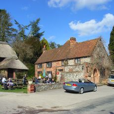
The Crown Inn Public House
4.2 km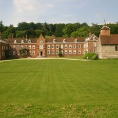
Stonor Park
6 km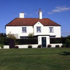
Crocker End House
4.1 km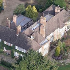
Nuffield Place
2.5 km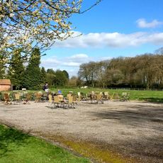
Nuffield Place (National Trust)
2.4 km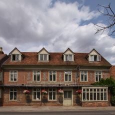
The White Hart Hotel
3.8 km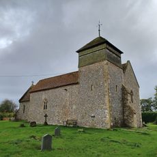
Church of the Holy Trinity
3.3 km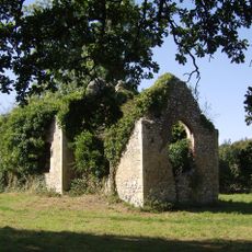
Bix old church
5.4 km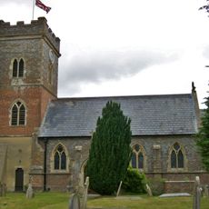
Church of St Bartholomew, Nettlebed
3.8 km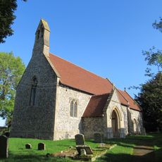
Church of St Nicholas
3.6 km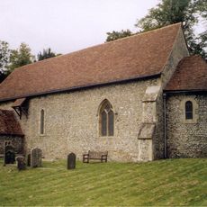
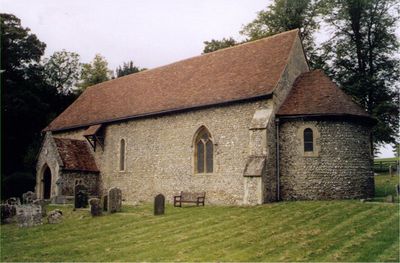
Church of St Botolph
62 m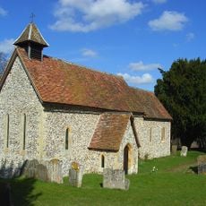
Pishill Church
4.4 km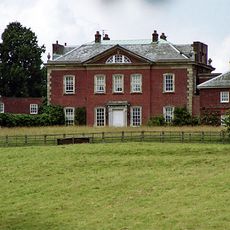
Britwell House and attached Walls and Coach House
2.7 km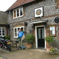
The Crown Public House
2.7 km
Turville Park
5.8 km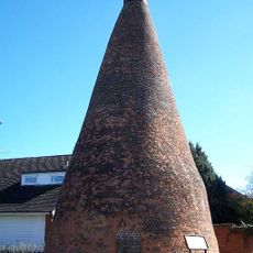
Nettlebed Kiln
3.9 km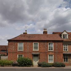
Myrtles
3.8 km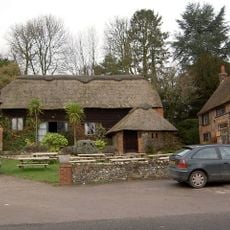
Barn Approximately 5 Metres North West Of The Crown Inn Public House
4.2 km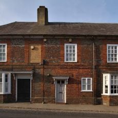
1 and 3, High Street
3.9 km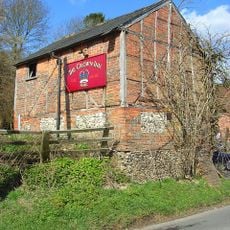
Stables Approximately 20 Metres West South West Of The Crown Inn Public House
4.2 km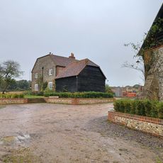
Howberry Wood Farm, Granary Approximately 5 Metres East Of Farmhouse
4.6 km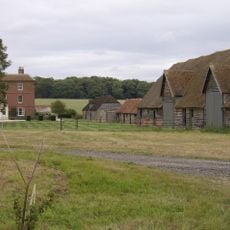
English Farmhouse
4.2 km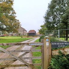
Howberry Wood Farmhouse
4.6 km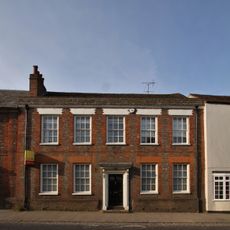
7, High Street
3.9 km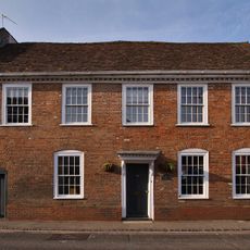
25, High Street
3.9 km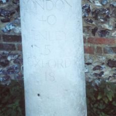
Milestone, High Street; W of church, E of petrol station
3.7 km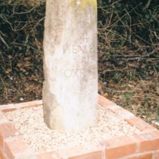
Milestone, Port Hill; 20m W of lane to Hayden Farm
3 km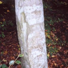
Milestone, Nettlebed Woods, half way down the straight
4.9 kmBewertungen
Diesen Ort besucht? Tippe auf die Sterne, um ihn zu bewerten und deine Erfahrung oder Fotos mit der Community zu teilen! Jetzt ausprobieren! Sie können jederzeit kündigen.
Entdecke verborgene Schätze auf jedem Abenteuer!
Von charmanten kleinen Cafés bis zu versteckten Aussichtspunkten – entfliehe dem Touristentrubel und finde Orte, die wirklich zu dir passen. Unsere App macht's dir leicht: Sprachsuche, clevere Filter, optimierte Routen und echte Geheimtipps von Reisenden weltweit. Jetzt runterladen und das Abenteuer mobil erleben!

Ein neuer Ansatz für touristische Entdeckungen❞
— Le Figaro
Alle Orte, die eine Entdeckung wert sind❞
— France Info
Ein maßgeschneiderter Ausflug mit nur wenigen Klicks❞
— 20 Minutes