
Flagg, village and civil parish in Derbyshire Dales district, Derbyshire, England
Ort: Derbyshire Dales
GPS Koordinaten: 53.21377,-1.80023
Neueste Aktualisierung: 3. März 2025 um 21:45
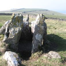
Five Wells
2.7 km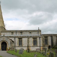
Church of St Michael
2.7 km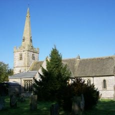
Church of St Leonard
2.7 km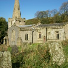
Church of St John the Baptist
2.6 km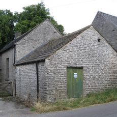
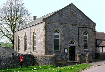
Quaker Chapel
2.4 km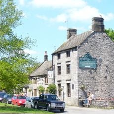
The Bull's Head Public House
2.5 km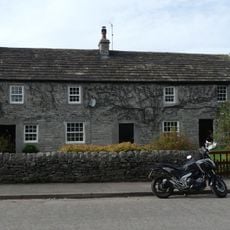
Post office, house and dairy
2.5 km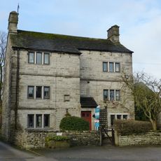
Sheldon House
2.4 km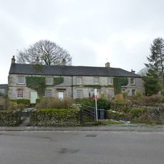
Old Hall Cottages
2.7 km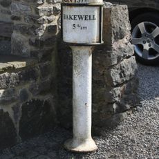
Milepost at OS 143 711
2.7 km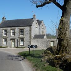
Manor House Farmhouse
2.8 km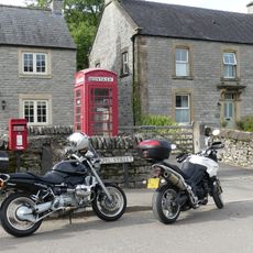
K6 Telephone Kiosk
2.5 km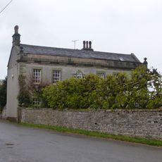
The Hall
2.7 km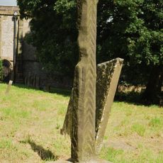
Standing cross in the churchyard of St Michael and All Angels
2.7 km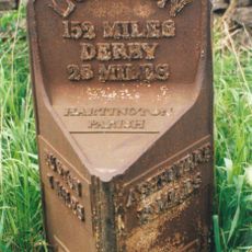
Mile Post 34 Metres North-West Of Middle Street Farm At Ngr Sk 136 653
3.3 km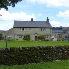
Hurdlow Hall and attached garden wall and gates
2.5 km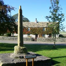
Village Cross
2.5 km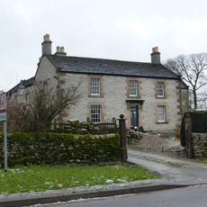
Chandlers
2.6 km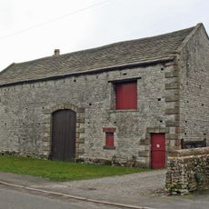
Barn to east of Townend Farmhouse
2.6 km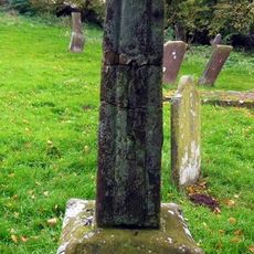
Churchyard cross 10 metres south of south transept of church
2.5 km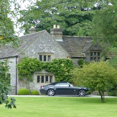
Old Farmhouse, Town Head Farm
729 m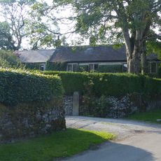
Townend Farmhouse
2.3 km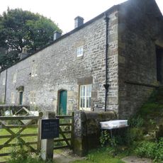
Hurdlow Manor and attached barn
2.4 km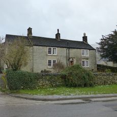
Mere Farmhouse and outbuilding
2.6 km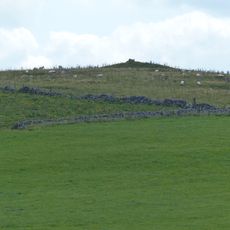
Cronkston Low bowl barrow
2.8 km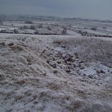
Two bowl barrows on Chelmorton Low
2.9 km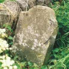
Milestone, Pomeroy
1.9 km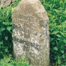
Milestone, Great Low, Sterndale Moor
3.1 kmDiesen Ort besucht? Tippe auf die Sterne, um ihn zu bewerten und deine Erfahrung oder Fotos mit der Community zu teilen! Jetzt ausprobieren! Sie können jederzeit kündigen.
Entdecke verborgene Schätze auf jedem Abenteuer!
Von charmanten kleinen Cafés bis zu versteckten Aussichtspunkten – entfliehe dem Touristentrubel und finde Orte, die wirklich zu dir passen. Unsere App macht's dir leicht: Sprachsuche, clevere Filter, optimierte Routen und echte Geheimtipps von Reisenden weltweit. Jetzt runterladen und das Abenteuer mobil erleben!

Ein neuer Ansatz für touristische Entdeckungen❞
— Le Figaro
Alle Orte, die eine Entdeckung wert sind❞
— France Info
Ein maßgeschneiderter Ausflug mit nur wenigen Klicks❞
— 20 Minutes