
West Hendred, village and civil parish in Vale of White Horse, Oxfordshire, England
Ort: Vale of White Horse
GPS Koordinaten: 51.59483,-1.35184
Neueste Aktualisierung: 11. April 2025 um 23:54

The Ridgeway
3.5 km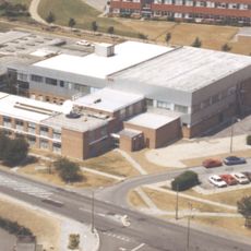
Atlas Computer Laboratory
3.4 km
Scutchamer Knob
3.7 km
Lockinge Estate
2 km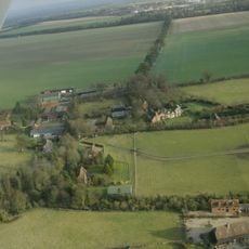
Ginge Manor
2.2 km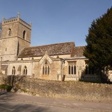
Church of St Augustine of Canterbury
935 m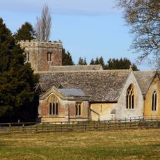
Church of All Saints
2.6 km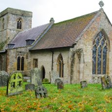
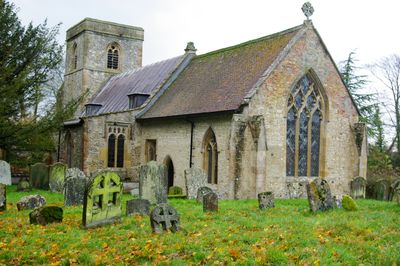
Church of the Holy Trinity
447 m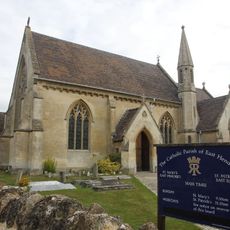
Roman Catholic Church of Saint Mary, East Hendred
1.1 km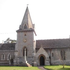
Church of the Holy Trinity
1.9 km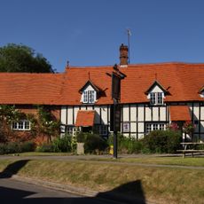
The Wheatsheaf Public House
1.1 km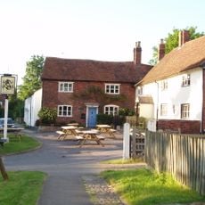
Eyston Arms Public House
1.1 km
Jesus Chapel And Attached House
1.1 km
Lockinge War Memorial
2.8 km
Grim's Ditch: section W of Chilton Plantation
4.3 km
Godfreys Farm
1.1 km
Parsonage Farmhouse
3.9 km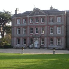
Ardington House
1.7 km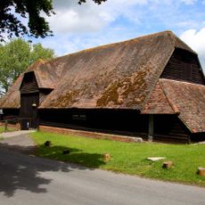
Lain's Barn
2.7 km
Scutchamore Knob
3.7 km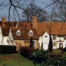
Hendred House And St Amands Chapel
1.1 km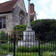
East Hendred War Memorial
1.1 km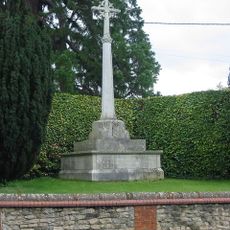
Ardington War Memorial
1.9 km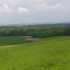
Grim's Ditch; section S of Tile Barn
3.1 km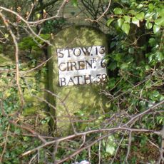
Milestone, Reading Road; W of the Hare PH
786 m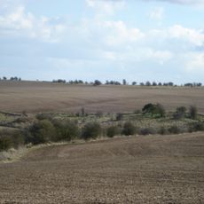
East Hendred Down bowl barrow
3.9 km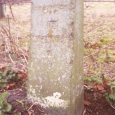
Milestone, Portway; E of Lain's Barn turn
2.3 km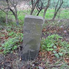
Milestone, Reading Road; opp. White Road
1.3 kmBewertungen
Diesen Ort besucht? Tippe auf die Sterne, um ihn zu bewerten und deine Erfahrung oder Fotos mit der Community zu teilen! Jetzt ausprobieren! Sie können jederzeit kündigen.
Entdecke verborgene Schätze auf jedem Abenteuer!
Von charmanten kleinen Cafés bis zu versteckten Aussichtspunkten – entfliehe dem Touristentrubel und finde Orte, die wirklich zu dir passen. Unsere App macht's dir leicht: Sprachsuche, clevere Filter, optimierte Routen und echte Geheimtipps von Reisenden weltweit. Jetzt runterladen und das Abenteuer mobil erleben!

Ein neuer Ansatz für touristische Entdeckungen❞
— Le Figaro
Alle Orte, die eine Entdeckung wert sind❞
— France Info
Ein maßgeschneiderter Ausflug mit nur wenigen Klicks❞
— 20 Minutes