
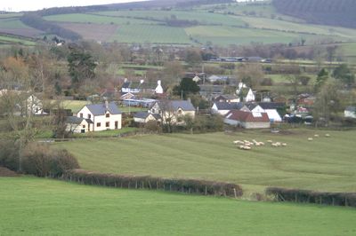
Colebatch, village in Shropshire, United Kingdom
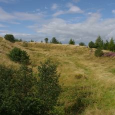
Bury Ditches
3.5 km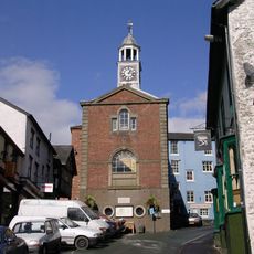
Bishop's Castle Town Hall
1.9 km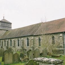
Church of St Peter
5.1 km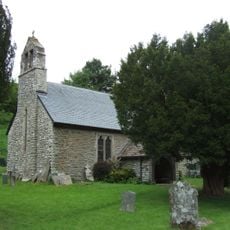
Church of St John the Baptist
5.4 km
Church of St Michael and All Angels
3.5 km
Pentre Wood
5.7 km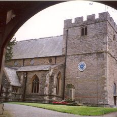
Church of St John the Baptist
1.4 km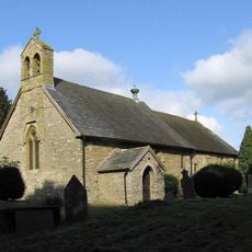
Church of the Holy Trinity
4.3 km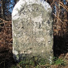
Milestone Approximately 150 Metres To North-West Of Colstey Farmhouse
3.7 km
Caer Din
5.2 km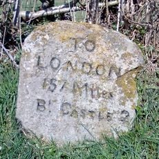
Milestone Approximately 1300 Metres To South-East Of The Junction Of Stank Lane With The B4385
2.6 km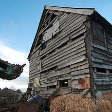
Barn approximately 60 metres to north-east of Lower Lea Farmhouse
3.9 km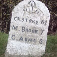
Milestone Approximately 1,000 Metres To North-East Of Lea Castle
4.8 km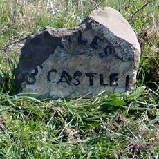
Milestone Approximately 300 Metres To East Of Lydham Manor
3.2 km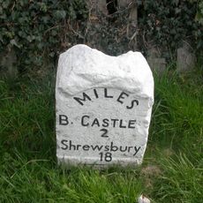
Milestone Approximately 470 Metres To North Of Junction Of A489 With B4383
4.5 km
Milestone Approximately 220 Metres To South Of Heblands Cottage
3.2 km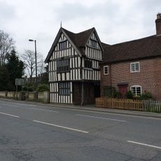
Lydham Castle
4.3 km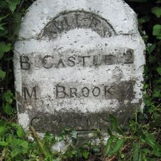
Milestone South South East Of Lea At Ngr So 353 887
3.8 km
Milestone Approximately 390 Metres To East Of Upper Broughton Farmhouse
3.8 km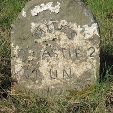
Milestone Approximately 180 Metres To North Of Wootton House
722 m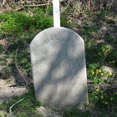
Milestone West Of Totterbank Bridge At Ngr So 364 876
4.6 km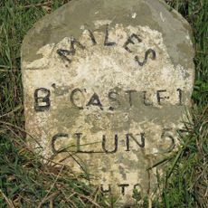
Milestone Approximately 550 Metres South-West Of Junction Of A488 With B4385
823 m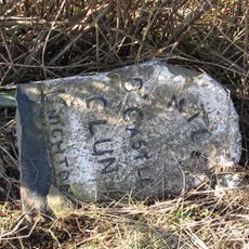
Milestone Approximately 160 Metres To North Of Blackwell Cottage
5.2 km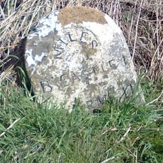
Milestone at NGR SO3310687794
1.4 km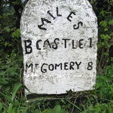
Milestone Approximately 260 Metres To South Of Heblands Cottages (That Part In Bishop's Castle Cp)
3.1 km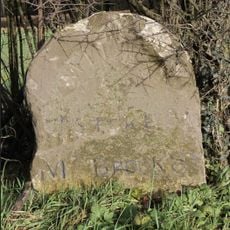
Milestone Approximately 230 Metres North West Of Junction Of A489 With B4383
4.2 km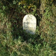
Milestone, Worthen/Walcot; W of Lydbury North
2.4 km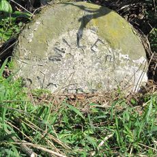
Milestone, E of Lydbury North
4 kmDiesen Ort besucht? Tippe auf die Sterne, um ihn zu bewerten und deine Erfahrung oder Fotos mit der Community zu teilen! Jetzt ausprobieren! Sie können jederzeit kündigen.
Entdecke verborgene Schätze auf jedem Abenteuer!
Von charmanten kleinen Cafés bis zu versteckten Aussichtspunkten – entfliehe dem Touristentrubel und finde Orte, die wirklich zu dir passen. Unsere App macht's dir leicht: Sprachsuche, clevere Filter, optimierte Routen und echte Geheimtipps von Reisenden weltweit. Jetzt runterladen und das Abenteuer mobil erleben!

Ein neuer Ansatz für touristische Entdeckungen❞
— Le Figaro
Alle Orte, die eine Entdeckung wert sind❞
— France Info
Ein maßgeschneiderter Ausflug mit nur wenigen Klicks❞
— 20 Minutes