
Holmpton, village in the United Kingdom
GPS Koordinaten: 53.68466,0.06705
Neueste Aktualisierung: 17. März 2025 um 08:20
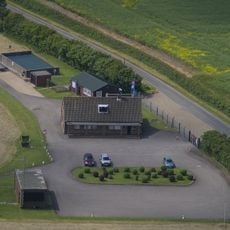
RAF Holmpton
65 m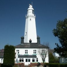
Withernsea Lighthouse
5.7 km
St. Patrick's Church, Patrington
5 km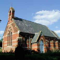
Church of St Helen
8.4 km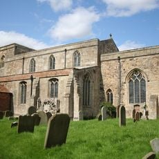
St Mary's Church, Welwick
3 km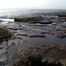
Birstall Priory
4.6 km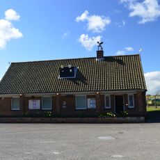
RAF Holmpton - Visit the Bunker
80 m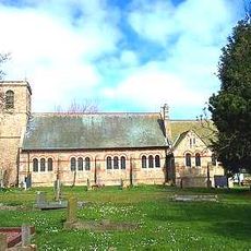
Church of St Nicholas
3.2 km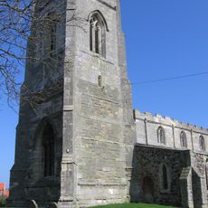
Church of All Saints
5 km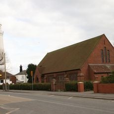
Church of St Matthew
5.7 km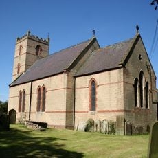
Church of St Nicholas
470 m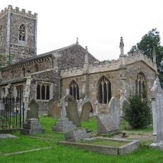
Church of St Nicholas
5.3 km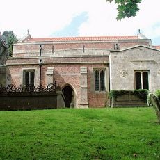
Church of St Germain
6.8 km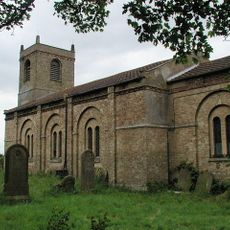
Church of St Mary
8 km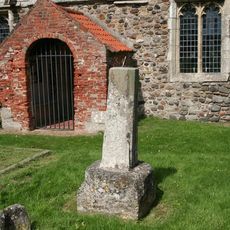
Cross Approximately 6 Metres South Of Church Of St Helen
3.9 km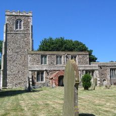
Church of St Helen
3.9 km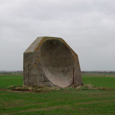
World War I acoustic mirror 335m north east of Kilnsea Grange
7.7 km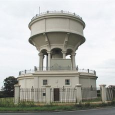
Rimswell Water Tower
7.8 km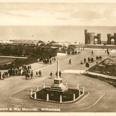
Withernsea Old War Memorial
5.3 km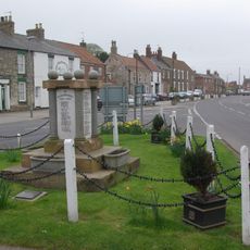
Patrington War Memorial
5.3 km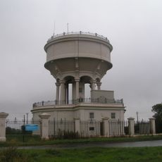
Gate, Flanking Walls And Railings Approximately 10 Metres West Of Rimswell Water Tower
7.8 km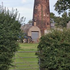
Patrington Mill
4.6 km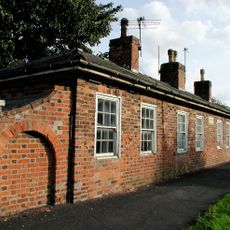
Linsdall's Hospital And Flanking Walls
4.8 km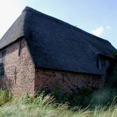
Tithe Barn
5 km
Channel Farmhouse
8.2 km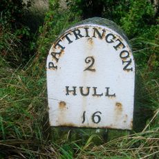
Milestone Approximately 30 Metres North West Of Junction With Winestead Ings Lane
7.8 km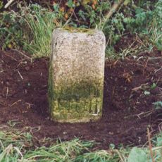
Milestone, Winestead, N of entrance to Manor Farm
7 km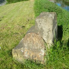
Milestone, Winstead Bridge, 1 mile W of Patrington
6.6 kmBewertungen
Diesen Ort besucht? Tippe auf die Sterne, um ihn zu bewerten und deine Erfahrung oder Fotos mit der Community zu teilen! Jetzt ausprobieren! Sie können jederzeit kündigen.
Entdecke verborgene Schätze auf jedem Abenteuer!
Von charmanten kleinen Cafés bis zu versteckten Aussichtspunkten – entfliehe dem Touristentrubel und finde Orte, die wirklich zu dir passen. Unsere App macht's dir leicht: Sprachsuche, clevere Filter, optimierte Routen und echte Geheimtipps von Reisenden weltweit. Jetzt runterladen und das Abenteuer mobil erleben!

Ein neuer Ansatz für touristische Entdeckungen❞
— Le Figaro
Alle Orte, die eine Entdeckung wert sind❞
— France Info
Ein maßgeschneiderter Ausflug mit nur wenigen Klicks❞
— 20 Minutes