
Bitton, village and civil parish in South Gloucestershire, England
GPS Koordinaten: 51.42480,-2.46004
Neueste Aktualisierung: 3. März 2025 um 03:43
Keynsham Lock
2.3 km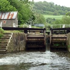
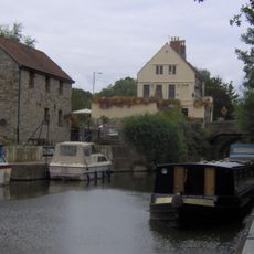
Swineford Lock
1.2 km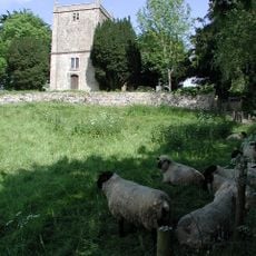
Church of St Martin
2.3 km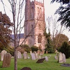
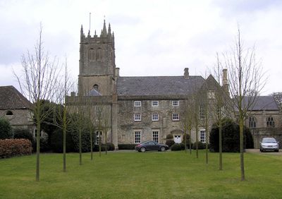
Parish Church of St Mary
312 m
Kingswood Heritage Museum
3.3 km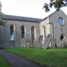
Church of St Anne
2 km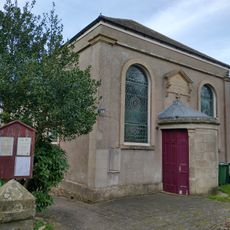
United Reformed Church
1.3 km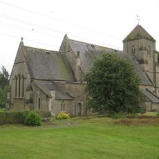
Church of St Bartholomew
3.5 km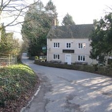
The Upton Inn
1.1 km
Willsbridge Mill
2 km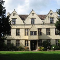
Wick Court
3.6 km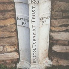
Boundary Post At Swineford Opposite Somerset House
1.2 km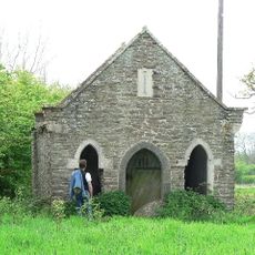
Cold Bath House Approximately 170 Yards To South Of Fieldgrove House
912 m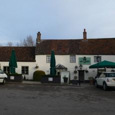
Rose And Crown
3.8 km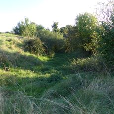
Large univallate hillfort with a bowl barrow and pillow mounds 970m west of The Bungalow
2.9 km
Coach House And Stable To North Of Upton House
1.2 km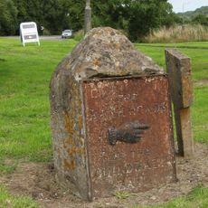
Guidestone At Junction With Bury Lane
4.2 km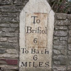
Milestone Opposite Number 116
216 m
Direction Signs At Cross Roads Half A Mile North West Of Beach
2.3 km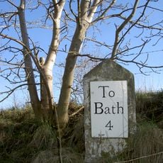
Milestone at National Grid Reference ST 7210 7029
4 km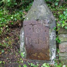
Milestone At National Grid Reference St6929 6889
1.4 km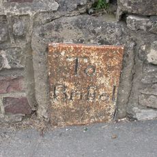
Milestone About 130 Metres West Of The Lawn
3.9 km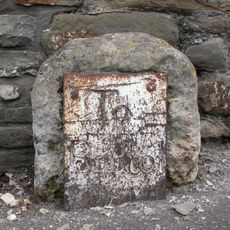
Milestone Immediately West Of Number 63
1.8 km
Roman camp 405m west of The Bungalow
3.4 km
Avon House
2.4 km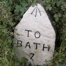
Milestone, West Street, Oldland Common
1.6 km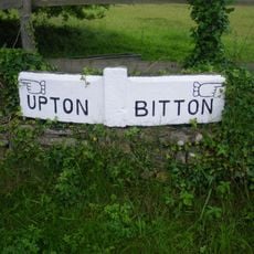
Guidestone, Upton Cheney, N of village at ST6991771034
2.3 km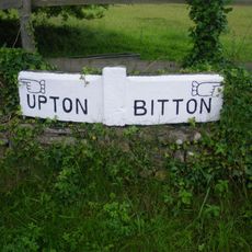
Guidestone, Upton Cheney, N of village at ST6992771100
2.3 kmDiesen Ort besucht? Tippe auf die Sterne, um ihn zu bewerten und deine Erfahrung oder Fotos mit der Community zu teilen! Jetzt ausprobieren! Sie können jederzeit kündigen.
Entdecke verborgene Schätze auf jedem Abenteuer!
Von charmanten kleinen Cafés bis zu versteckten Aussichtspunkten – entfliehe dem Touristentrubel und finde Orte, die wirklich zu dir passen. Unsere App macht's dir leicht: Sprachsuche, clevere Filter, optimierte Routen und echte Geheimtipps von Reisenden weltweit. Jetzt runterladen und das Abenteuer mobil erleben!

Ein neuer Ansatz für touristische Entdeckungen❞
— Le Figaro
Alle Orte, die eine Entdeckung wert sind❞
— France Info
Ein maßgeschneiderter Ausflug mit nur wenigen Klicks❞
— 20 Minutes