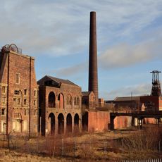
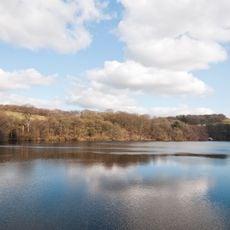
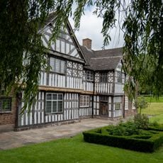
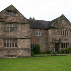
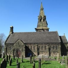
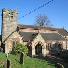
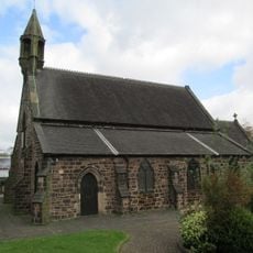
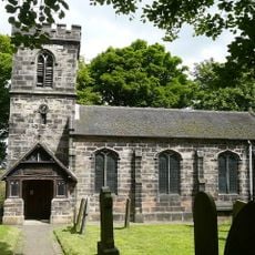
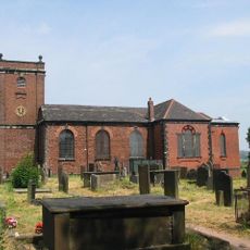
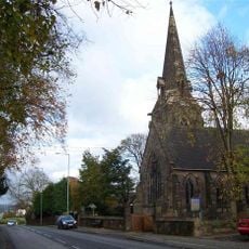
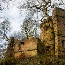
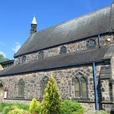
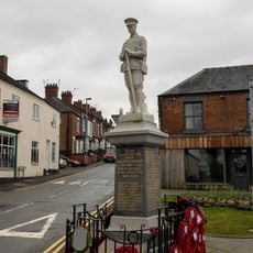
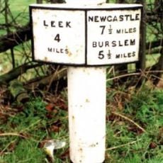
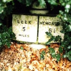
Brown Edge, village in Staffordshire, England, UK
GPS Koordinaten: 53.08253,-2.14872
Neueste Aktualisierung: 11. April 2025 um 22:01
Chatterley Whitfield Colliery
1.9 km
Knypersley Reservoir
1.4 km
Ford Green Hall
3.4 km
Bagnall Road Wood
4 km
The Ashes
3.1 km
Church of St Anne
394 m
Church of St Luke, Endon
2.7 km
Church of St Saviour, Smallthorne
3.9 km
Church of St Chad
4 km
Church of St Bartholomew
2.6 km
Church of St John the Evangelist
3.6 km
Prospect Tower And Attached Wing
1.5 km
St James the Apostle
3.9 km
Biddulph Library
4.1 km
St. Philip and St. James
3.6 km
Biddulph War Memorial
4.3 km
Milepost At Sj 933 541
3.2 km
Milepost Outside 'Kings Croft', West Of Endon Village
2.1 km
Knypersley School Knypersley School, Attached Archway And Frontage Wall
3.6 km
Biddulph Primary Care Centre
4.1 km
Crowborough Farmhouse
3 km
Chatterley Whitfield: Pithead Baths Complex (18-21)
1.9 km
Brindley Ford War Memorial
2.3 km
Red Cross, Approximately 2 Metres West Of Church Of St John
3.6 km
Milepost At Sj 923 528
2.5 km
Biddulph Town Hall
4.2 km
Milepost, between Norton Green & Norton-in-the-Moors, W of Endon village
2 km
Milepost, Stockton Brook
2.5 kmBewertungen
Diesen Ort besucht? Tippe auf die Sterne, um ihn zu bewerten und deine Erfahrung oder Fotos mit der Community zu teilen! Jetzt ausprobieren! Sie können jederzeit kündigen.
Entdecke verborgene Schätze auf jedem Abenteuer!
Von charmanten kleinen Cafés bis zu versteckten Aussichtspunkten – entfliehe dem Touristentrubel und finde Orte, die wirklich zu dir passen. Unsere App macht's dir leicht: Sprachsuche, clevere Filter, optimierte Routen und echte Geheimtipps von Reisenden weltweit. Jetzt runterladen und das Abenteuer mobil erleben!
Ein neuer Ansatz für touristische Entdeckungen❞
— Le Figaro
Alle Orte, die eine Entdeckung wert sind❞
— France Info
Ein maßgeschneiderter Ausflug mit nur wenigen Klicks❞
— 20 Minutes