Cuddesdon and Denton, civil parish in South Oxfordshire, England
AroundUs vereint tausende ausgewählte Orte, lokale Tipps und versteckte Schätze, täglich bereichert von über 60,000 Mitwirkenden weltweit. Alle Orte in der Nähe entdecken (South Oxfordshire).
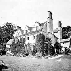
Garsington Manor
2.1 km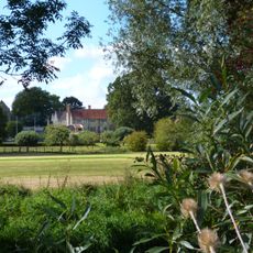
Chippinghurst Manor House And Attached Garden Walls
1.3 km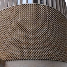
Bishop Edward King Chapel
733 m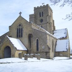
Church of All Saints
543 m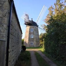
Wheatley Windmill
3 km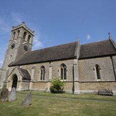
Church of St James
2.4 km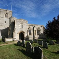
Church of St Mary
2.6 km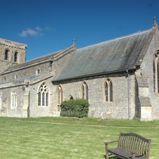
Church of St Mary
2.2 km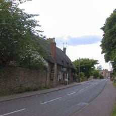
The Lamb Inn
2.3 km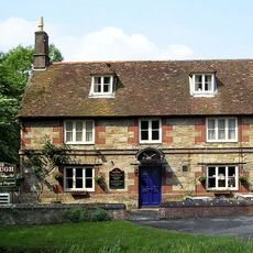
The Plough
2.2 km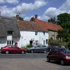
The Post Office
2.4 km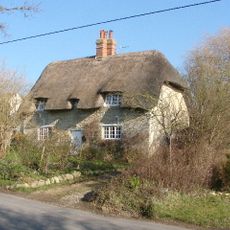
73, Southend
1.8 km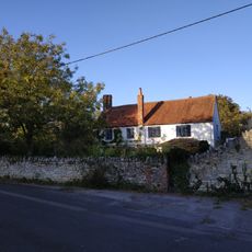
Ambrose Farmhouse
3 km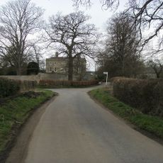
Denton House
878 m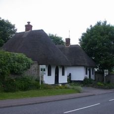
Lodge, Northern Of Pair Approximately 120 Metres West Of Manor House Manor House, Northern Of Pair Of Lodges
2.4 km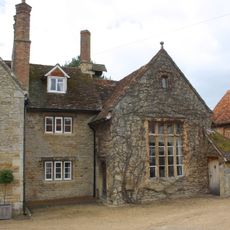
Schoolhouse And Attached Infants School
2.8 km
19, 21 And 23, Crown Road
3.1 km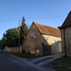
Wall And Outbuildings Along Crown Road In Front Of Mulberry Court
3.1 km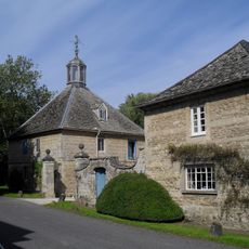
Stable Block At Denton House
851 m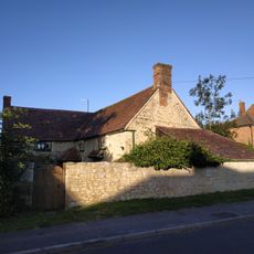
5, Roman Road
2.9 km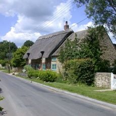
Brookside
2.7 km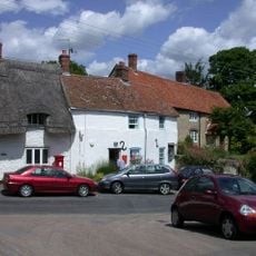
Wall Street Cottage
2.4 km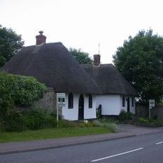
Lodge, Southern Of Pair Approximately 120 Metres West Of Manor House (Formerly Listed As Lodges At Entrance To Manor) Manor House, Southern Of Pair Of Lodges
2.4 km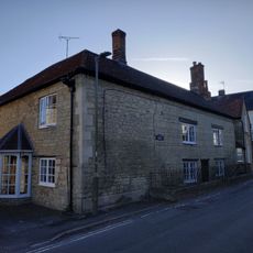
Cromwell House
3.2 km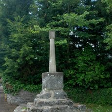
Garsington village cross
2.1 km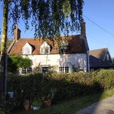
College Farm
3.2 km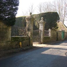
Gatepiers, Walls, Gates And Railings To Forecourt Of Manor House
2.1 km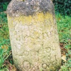
Milestone Approximately 60 Metres East Of The Avenue
3 kmEntdecke verborgene Schätze auf jedem Abenteuer!
Von charmanten kleinen Cafés bis zu versteckten Aussichtspunkten – entfliehe dem Touristentrubel und finde Orte, die wirklich zu dir passen. Unsere App macht's dir leicht: Sprachsuche, clevere Filter, optimierte Routen und echte Geheimtipps von Reisenden weltweit. Jetzt runterladen und das Abenteuer mobil erleben!

Ein neuer Ansatz für touristische Entdeckungen❞
— Le Figaro
Alle Orte, die eine Entdeckung wert sind❞
— France Info
Ein maßgeschneiderter Ausflug mit nur wenigen Klicks❞
— 20 Minutes