
Trysull and Seisdon, civil parish in South Staffordshire, Staffordshire, England
Ort: South Staffordshire
GPS Koordinaten: 52.54713,-2.23362
Neueste Aktualisierung: 29. März 2025 um 22:25
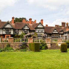
Wightwick Manor
4.8 km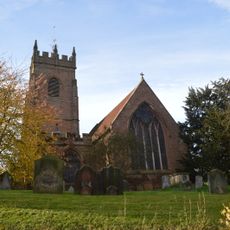
All Saints Church, Claverley
5.1 km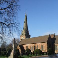
Church of St Benedict Biscop
3.6 km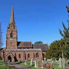
Church of St Chad
5.2 km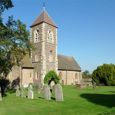
Church of the Holy Cross
5.2 km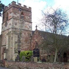
Church of All Saints
958 m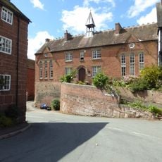
Church of England School
5.1 km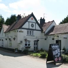
The Plough Inn
968 m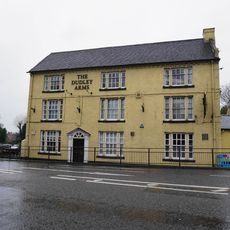
The Dudley Arms
5 km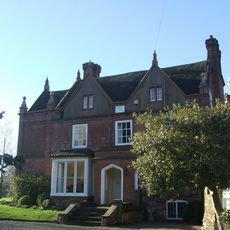
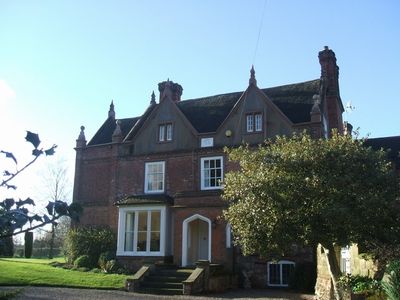
Trysull Manor House And Attached Coach House And Stable Block
693 m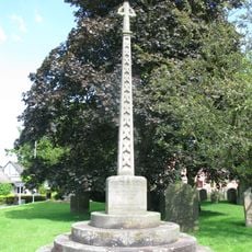
Trysull and Seisdon War Memorial
937 m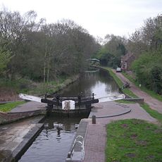
Botterham bridge and locks with adjacent circular weir
3.5 km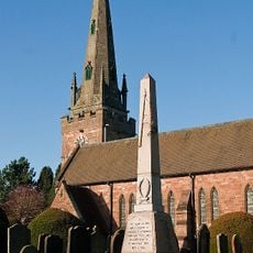
Wombourne War Memorial
3.6 km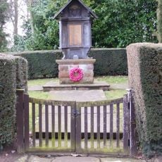
Claverley War Memorial
6 km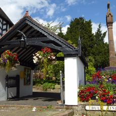
Lychgate
5.1 km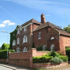
The Red House
814 m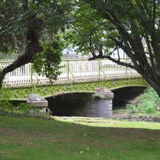
Bridge Over Smestow Brook
932 m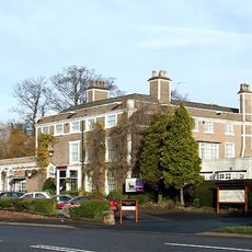
Himley House Hotel
5.1 km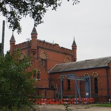
The Bratch Water Pumping Station
2.7 km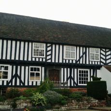
The Vicarage
5.1 km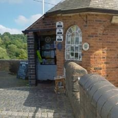
Staffordshire And Worcestershire Canal Bratch Locks, Bridge Number 47 (Bratch Bridge) Staffordshire And Worcestershire Canal Upper Bratch Bridge And Associated Toll House
2.6 km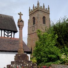
Churchyard cross
5.1 km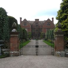
Ludstone Hall
4.2 km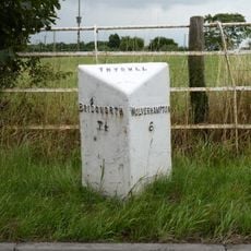
Milepost, E of Fox Road jct, opp public house car Park
2.4 km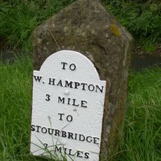
Milestone, Stourbridge Road, Lloyd Hill
4.2 km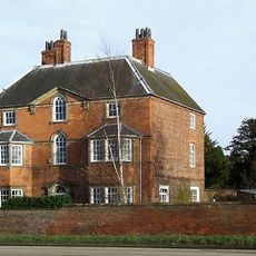
The Old Rectory
5.2 km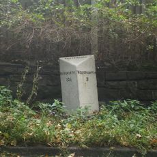
Milepost, Bridgnorth Road, Wightwick
4.4 km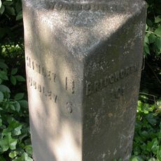
Milepost, SE of Smestow Bridge
2.6 kmDiesen Ort besucht? Tippe auf die Sterne, um ihn zu bewerten und deine Erfahrung oder Fotos mit der Community zu teilen! Jetzt ausprobieren! Sie können jederzeit kündigen.
Entdecke verborgene Schätze auf jedem Abenteuer!
Von charmanten kleinen Cafés bis zu versteckten Aussichtspunkten – entfliehe dem Touristentrubel und finde Orte, die wirklich zu dir passen. Unsere App macht's dir leicht: Sprachsuche, clevere Filter, optimierte Routen und echte Geheimtipps von Reisenden weltweit. Jetzt runterladen und das Abenteuer mobil erleben!

Ein neuer Ansatz für touristische Entdeckungen❞
— Le Figaro
Alle Orte, die eine Entdeckung wert sind❞
— France Info
Ein maßgeschneiderter Ausflug mit nur wenigen Klicks❞
— 20 Minutes