
Holwell, village and a civil parish in North Hertfordshire, England
Ort: North Hertfordshire
GPS Koordinaten: 51.98330,-0.30000
Neueste Aktualisierung: 9. März 2025 um 03:36
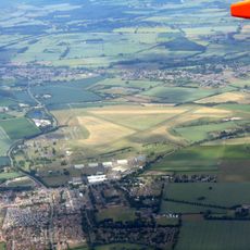
RAF Henlow
3.6 km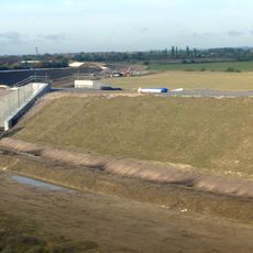
Hitchin Flyover
2.9 km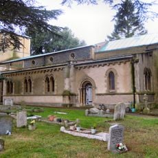
Church of St Katherine (church of England)
2 km
Oughtonhead Common
2.5 km
Oughtonhead Nature Reserve
2.6 km
Oughtonhead Lane
3.1 km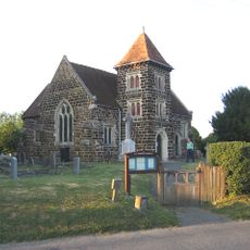
Church of All Saints
3.1 km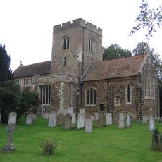
Church of St Mary the Virgin
4.5 km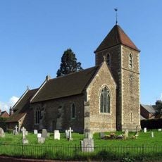
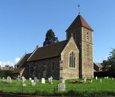
Church of St Peter (C of E) at Corner with Holwell Road
434 m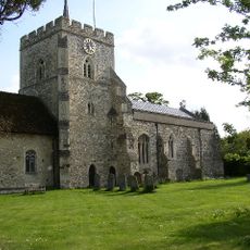
Church of St Mary (Church of England)
2.5 km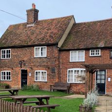
The Fox Inn
2.5 km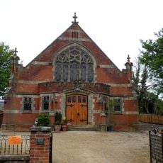
Pirton Methodist Church
2.6 km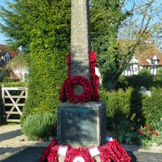
Pirton War Memorial, Hertfordshire
2.5 km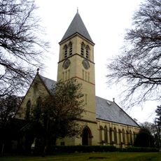
Church At Fairfield Hospital
4.2 km
32 And 33, Bancroft
3.9 km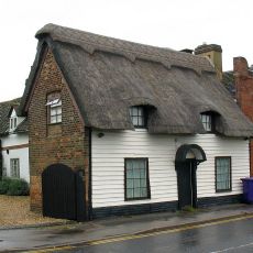
91, Woolgrove Road
3.9 km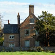
Walnut Tree Farmhouse
2.5 km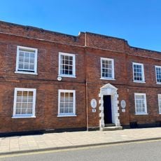
34, Bancroft
3.9 km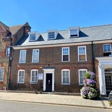
30, Bancroft
3.9 km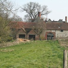
High Down House With Buildings And Walls Around Courtyard On North Side
3.5 km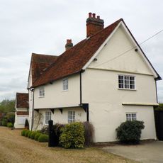
Church Farmhouse
502 m
Cadwell Farmhouse
2.1 km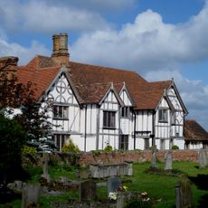
Manor House
4.5 km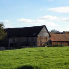
Farmbuildings Fronting Road At Walnut Tree Farm
2.6 km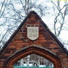
Gateway And Frontage Wall To Ickleford Jmi School
2 km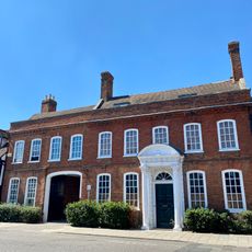
Manor House Galleries
4 km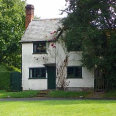
Three Gables
2.7 km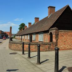
Entrance Court Wall And Gateways To Skynner's Almshouses Skynner's Almshouses
3.9 kmDiesen Ort besucht? Tippe auf die Sterne, um ihn zu bewerten und deine Erfahrung oder Fotos mit der Community zu teilen! Jetzt ausprobieren! Sie können jederzeit kündigen.
Entdecke verborgene Schätze auf jedem Abenteuer!
Von charmanten kleinen Cafés bis zu versteckten Aussichtspunkten – entfliehe dem Touristentrubel und finde Orte, die wirklich zu dir passen. Unsere App macht's dir leicht: Sprachsuche, clevere Filter, optimierte Routen und echte Geheimtipps von Reisenden weltweit. Jetzt runterladen und das Abenteuer mobil erleben!

Ein neuer Ansatz für touristische Entdeckungen❞
— Le Figaro
Alle Orte, die eine Entdeckung wert sind❞
— France Info
Ein maßgeschneiderter Ausflug mit nur wenigen Klicks❞
— 20 Minutes