
Swinderby, Gemeinde in der englischen Grafschaft Lincolnshire
Ort: North Kesteven
GPS Koordinaten: 53.15800,-0.70200
Neueste Aktualisierung: 10. März 2025 um 16:26
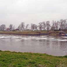
Cromwell Lock
6.3 km
All Saints' Church, Collingham
4.1 km
Holy Trinity Church, Besthorpe
4.6 km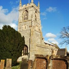
St John the Baptist's Church, Collingham
4.6 km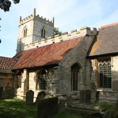
St Bartholomew's Church, Langford
6.2 km
St Cecilia's Church, Girton
5.3 km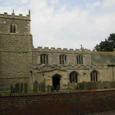
St Helena's Church, South Scarle
2.8 km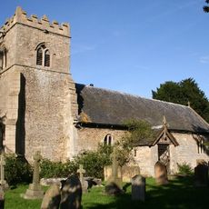
Church of St Germain
4.2 km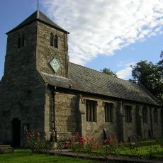
Church of St Michael and All Angels
4.6 km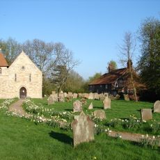
Church of St Peter
5.9 km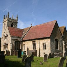
Church of Saint Peter
4.7 km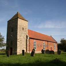
Church of All Saints
5.8 km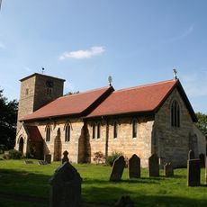
Church of All Saints
4.2 km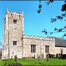
Church of Saint Mary
6.5 km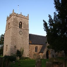
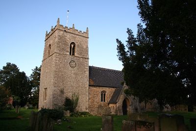
Church of All Saints
79 m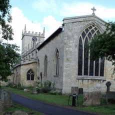
Church of St Michael and All Angels
5.2 km
Church of All Saints
4.2 km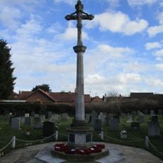
North Collingham War Memorial
4 km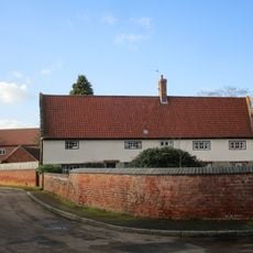
The Nunnery
4.7 km
The Little House And Number 20
4.3 km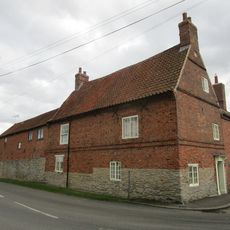
Corner Farmhouse
2.3 km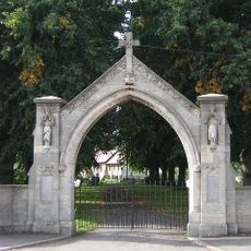
War Memorial Arch
4.1 km
Standing cross on the west side of High Street
3.8 km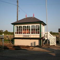
Swinderby Signal Box
1.3 km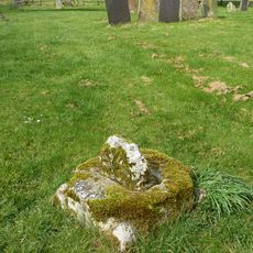
Churchyard cross, All Saints' churchyard
5.8 km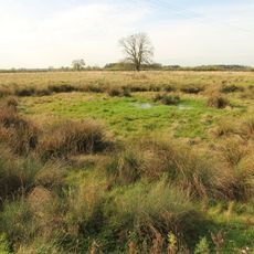
Hall Close: a medieval and post-medieval hall complex south of Dovecote Lane, with dovecote, gardens, fishponds, churchyard and
4.4 km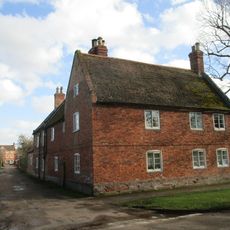
Lime Tree House
4.4 km
Langford medieval village, including moat and open field system, 450m north west of Elmtree Farm
6.4 kmDiesen Ort besucht? Tippe auf die Sterne, um ihn zu bewerten und deine Erfahrung oder Fotos mit der Community zu teilen! Jetzt ausprobieren! Sie können jederzeit kündigen.
Entdecke verborgene Schätze auf jedem Abenteuer!
Von charmanten kleinen Cafés bis zu versteckten Aussichtspunkten – entfliehe dem Touristentrubel und finde Orte, die wirklich zu dir passen. Unsere App macht's dir leicht: Sprachsuche, clevere Filter, optimierte Routen und echte Geheimtipps von Reisenden weltweit. Jetzt runterladen und das Abenteuer mobil erleben!

Ein neuer Ansatz für touristische Entdeckungen❞
— Le Figaro
Alle Orte, die eine Entdeckung wert sind❞
— France Info
Ein maßgeschneiderter Ausflug mit nur wenigen Klicks❞
— 20 Minutes