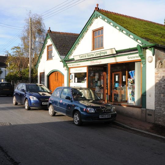
Longhope, village and civil parish in Gloucestershire, United Kingdom
Ort: Forest of Dean
GPS Koordinaten: 51.86780,-2.45290
Neueste Aktualisierung: 5. März 2025 um 21:48
Flaxley Abbey
3.5 km
Blaisdon Hall
2.1 km
Hobbs Quarry SSSI, Longhope
912 m
Stenders Quarry SSSI
3 km
Edgehills Quarry
3.6 km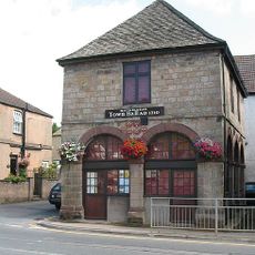
Old Town Hall
2.5 km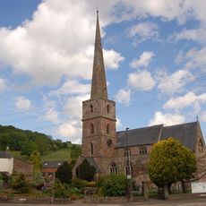
Church of St Michael and All Angels
2.6 km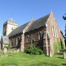
Church of St Michael and All Angels
2.2 km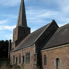
Church of St John the Baptist
4.2 km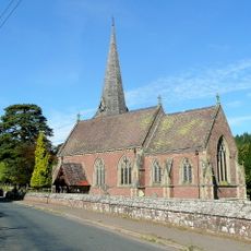
Church of St Mary the Virgin, Flaxley
3.6 km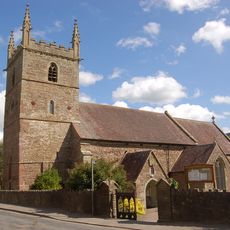
Church of All Saints
1 km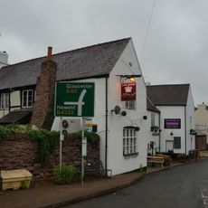
The Crown Inn
4 km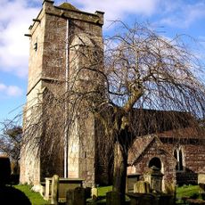
Church of St Michael and All Angels
2.3 km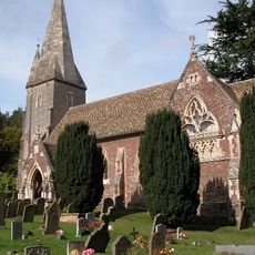
Church of St John the Baptist
2.5 km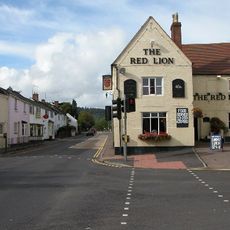
Red Lion
3.3 km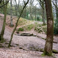
St Anthony's Well
3.7 km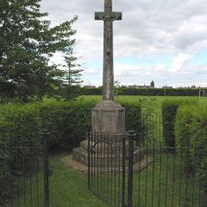
Huntley War Memorial
3.5 km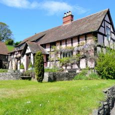
Upper Roxbush
2 km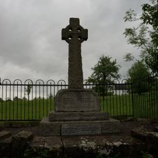
Blaisdon War Memorial
2.3 km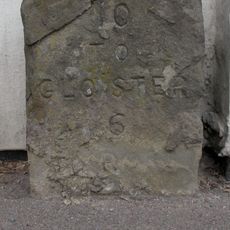
Milestone Against Garden Wall Of Hopebrook
2.2 km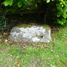
Cross Base
1.5 km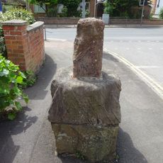
Base To Cross, About 7 Metres North Of Junction With Main Road
3.3 km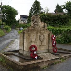
Longhope War Memorial at Junction with Monmouth Road
406 m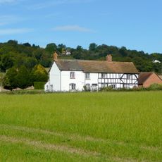
Stanley House
2.4 km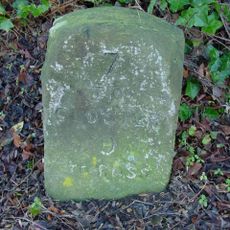
Milestone, About 56 Metres West Of Barn, Huntley Court
3 km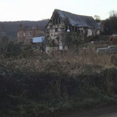
Mill At Gun's Mills
3.3 km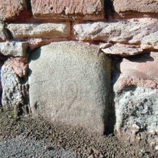
Milestone, Gloucester Road, jct of B4224
2.5 km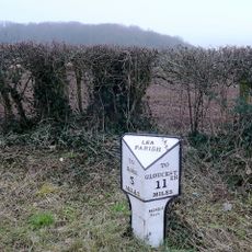
Milepost, Lea Line
3.4 kmDiesen Ort besucht? Tippe auf die Sterne, um ihn zu bewerten und deine Erfahrung oder Fotos mit der Community zu teilen! Jetzt ausprobieren! Sie können jederzeit kündigen.
Entdecke verborgene Schätze auf jedem Abenteuer!
Von charmanten kleinen Cafés bis zu versteckten Aussichtspunkten – entfliehe dem Touristentrubel und finde Orte, die wirklich zu dir passen. Unsere App macht's dir leicht: Sprachsuche, clevere Filter, optimierte Routen und echte Geheimtipps von Reisenden weltweit. Jetzt runterladen und das Abenteuer mobil erleben!

Ein neuer Ansatz für touristische Entdeckungen❞
— Le Figaro
Alle Orte, die eine Entdeckung wert sind❞
— France Info
Ein maßgeschneiderter Ausflug mit nur wenigen Klicks❞
— 20 Minutes
