
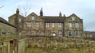
33,35,37,39, Totties Lane, building in Holme Valley, Kirklees, England, UK
Church of the Holy Trinity
1.4 km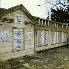
Holme Valley war memorial
1.6 km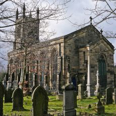
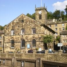
Christ Church
1 km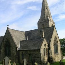
Church of the Holy Trinity
1.4 km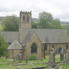
Church of St John
2 km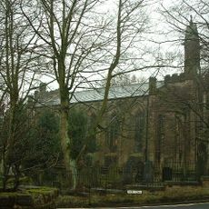
Church of All Saints
2.3 km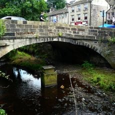
Hollowgate Bridge
1.6 km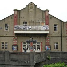
The Picturedrome
1.5 km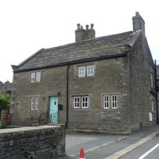
Low Fold Farm The Post Office (The Village)
2.3 km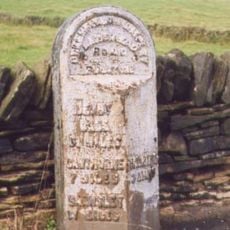
3 Miles Post Opposite Toss O'Coin Public House
2.3 km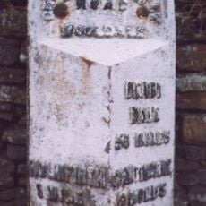
1 Mile Post (To North of Heyfield)
1.4 km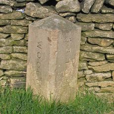
Ward Boundary Stone 50 Yards North Of Drive To Wickleden
1.8 km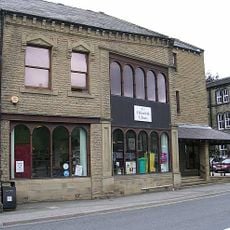
Holmfirth Library and Tourist Information Centre
1.6 km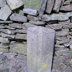
Ward Boundary Stone At Junction Of Cowcliffe Hill Road
2.4 km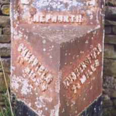
7.5 Miles Post Between Meal Hill Lane And Foster Place Lane
1.8 km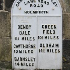
Mile Post, Hollowgate Bridge
1.6 km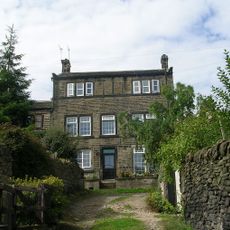
28, 29, Upper Gate
1.5 km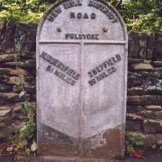
6.5 Miles Post Opposite No 30
530 m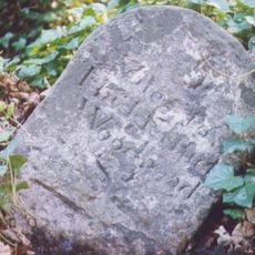
5 Miles Post, 300 Yards North Of Junction With Calf Hill Road
2.1 km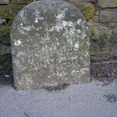
6 Miles Post Oposite No 119
1.4 km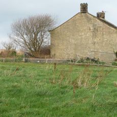
West Royd Farmhouse
2.1 km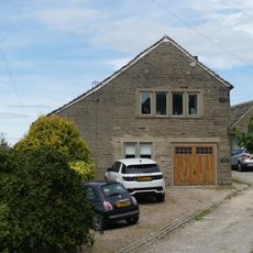
Principal barn 50 yards to south west of Upper Fold Farmhouse
2.3 km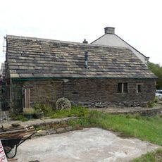
Small former barn now adjoining Number 5 Upper Fold Farmhouse
2.4 km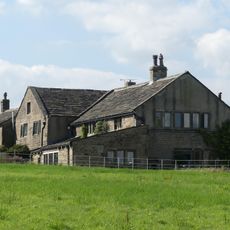
Moor View Farmhouse
2.2 km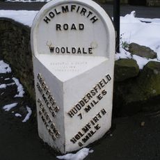
7 Miles Post 50 Yards South Of Junction With Washpit New Road
1.4 km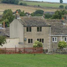
4, The Village
2.3 km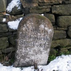
Mile Stone
1.9 km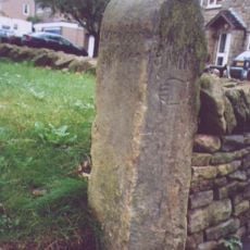
Milestone, Moor Lane, Netherthong
2.3 kmDiesen Ort besucht? Tippe auf die Sterne, um ihn zu bewerten und deine Erfahrung oder Fotos mit der Community zu teilen! Jetzt ausprobieren! Sie können jederzeit kündigen.
Entdecke verborgene Schätze auf jedem Abenteuer!
Von charmanten kleinen Cafés bis zu versteckten Aussichtspunkten – entfliehe dem Touristentrubel und finde Orte, die wirklich zu dir passen. Unsere App macht's dir leicht: Sprachsuche, clevere Filter, optimierte Routen und echte Geheimtipps von Reisenden weltweit. Jetzt runterladen und das Abenteuer mobil erleben!

Ein neuer Ansatz für touristische Entdeckungen❞
— Le Figaro
Alle Orte, die eine Entdeckung wert sind❞
— France Info
Ein maßgeschneiderter Ausflug mit nur wenigen Klicks❞
— 20 Minutes