
Britwell House and attached Walls and Coach House, architectural structure in Britwell Salome, South Oxfordshire, England, UK
Ort: Britwell Salome
GPS Koordinaten: 51.62700,-1.03670
Neueste Aktualisierung: 7. März 2025 um 02:31

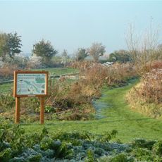
Ewelme Watercress Beds
2.9 km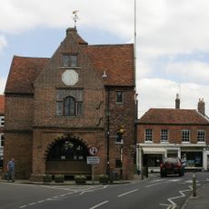
Town Hall
3 km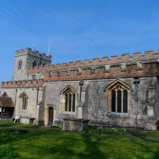
Church of St Mary, Ewelme
2.4 km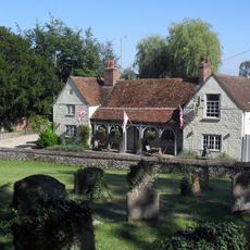
The Lord Nelson Inn
2.9 km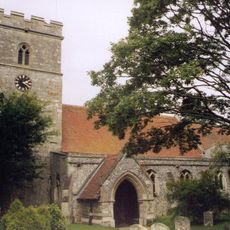
Church of St Leonard
2.9 km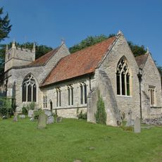
Church of St Bartholomew
2.9 km
Church of the Holy Rood
2.7 km
Church of St Botolph
2.7 km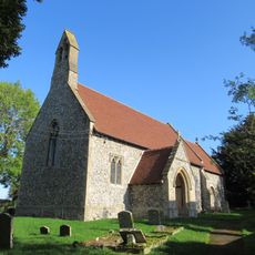
Church of St Nicholas
1.4 km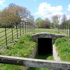
Brightwell Park, Icehouse Approximately 190 Metres North North East Of Brightwell Park
3.3 km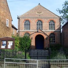
Watlington Methodist Church
3.1 km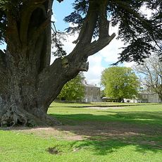
Brightwell Park
3.1 km
The Old Forge
2.9 km
Fox And Hounds Hotel And Public House
3.1 km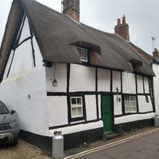
Blackhorse Cottage
3 km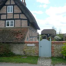
Glebe Farmhouse
2.9 km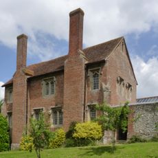
Ewelme Church Of England Primary School
2.4 km
1-7, Hill Road
3 km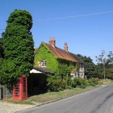
K6 Telephone Kiosk
2.9 km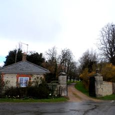
Eagle Lodge And Attached Gate Piers, Gates And Walls
2.8 km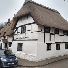
The Thatch
2.9 km
Three Tuns Antiques
2.9 km
Charringtons
3 km
Searleys and Simmons And Lawrence
3 km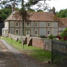
Ford's Farmhouse
2.5 km
Barley Mow
3 km
Gods Place, And Lobby To Church Of St Mary
2.4 km
Watlington War Memorial, Oxfordshire
2.9 kmBewertungen
Diesen Ort besucht? Tippe auf die Sterne, um ihn zu bewerten und deine Erfahrung oder Fotos mit der Community zu teilen! Jetzt ausprobieren! Sie können jederzeit kündigen.
Entdecke verborgene Schätze auf jedem Abenteuer!
Von charmanten kleinen Cafés bis zu versteckten Aussichtspunkten – entfliehe dem Touristentrubel und finde Orte, die wirklich zu dir passen. Unsere App macht's dir leicht: Sprachsuche, clevere Filter, optimierte Routen und echte Geheimtipps von Reisenden weltweit. Jetzt runterladen und das Abenteuer mobil erleben!

Ein neuer Ansatz für touristische Entdeckungen❞
— Le Figaro
Alle Orte, die eine Entdeckung wert sind❞
— France Info
Ein maßgeschneiderter Ausflug mit nur wenigen Klicks❞
— 20 Minutes