
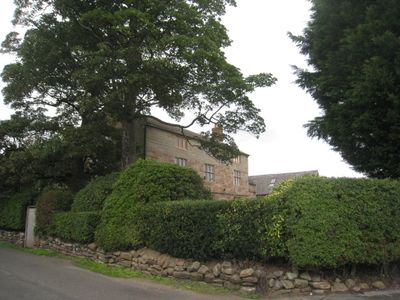
Ashton Hall Farmhouse, Bauernhaus im Vereinigten Königreich
Ort: Ashton Hayes and Horton-cum-Peel
GPS Koordinaten: 53.21580,-2.73998
Neueste Aktualisierung: 29. April 2025 um 16:24
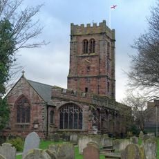
St Andrew's Church, Tarvin
2.5 km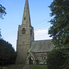
St John the Evangelist's Church, Ashton Hayes
802 m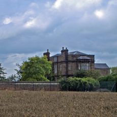
Peel Hall
1.1 km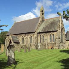
St Philip's Church, Kelsall
2.1 km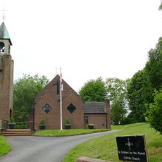
Church of St Cuthbert by the Forest
1.7 km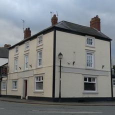
Red Lion
2.6 km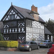
Church House
2.6 km
Number 86 and attached outbuilding
2.4 km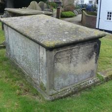
Tombchest of John Minshull and daughter, south-west corner of churchyard of St. Andrew
2.6 km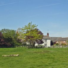
Mouldsworth Hall
1.7 km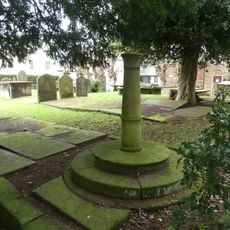
Sundial in the churchyard of St Andrew
2.6 km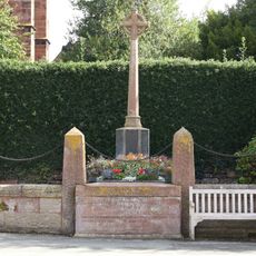
Tarvin War Memorial
2.6 km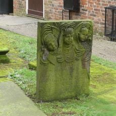
Tombstone of Beatrix Hollinsworth 12 metres west door of Church of St Andrew
2.5 km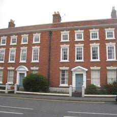
The Flaggs and Hamilton House, and front garden walls and gates
2.5 km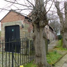
Church Hall, Grammar School House and the Hearse House
2.5 km
Laurel House
2.4 km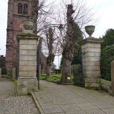
Gates and gatepiers to the churchyard of St. Andrew
2.6 km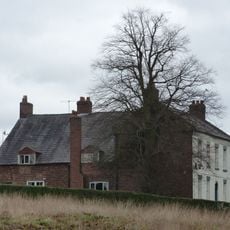
Kelsall Hall
2.1 km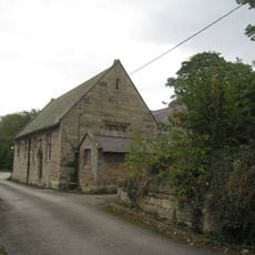
Ashton Village Hall
816 m
76, High Street
2.4 km
78 and 80, High Street
2.4 km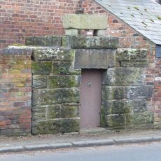
Lock up on the end of the barn at Weldon House
1.6 km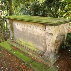
Tombchest of William Sandbach and others, 5m south-east of sundial in churchyard of St Andrew
2.6 km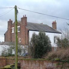
The Vicarage
2.6 km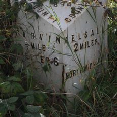
Milepost, Tarvin Sands
1.8 km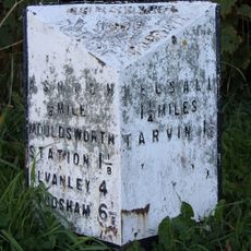
Milepost, S of Ashton Village
385 m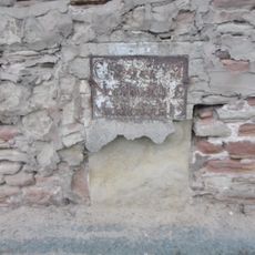
Milepost, Chester Road
2 km
Church Cottages
2.5 kmDiesen Ort besucht? Tippe auf die Sterne, um ihn zu bewerten und deine Erfahrung oder Fotos mit der Community zu teilen! Jetzt ausprobieren! Sie können jederzeit kündigen.
Entdecke verborgene Schätze auf jedem Abenteuer!
Von charmanten kleinen Cafés bis zu versteckten Aussichtspunkten – entfliehe dem Touristentrubel und finde Orte, die wirklich zu dir passen. Unsere App macht's dir leicht: Sprachsuche, clevere Filter, optimierte Routen und echte Geheimtipps von Reisenden weltweit. Jetzt runterladen und das Abenteuer mobil erleben!

Ein neuer Ansatz für touristische Entdeckungen❞
— Le Figaro
Alle Orte, die eine Entdeckung wert sind❞
— France Info
Ein maßgeschneiderter Ausflug mit nur wenigen Klicks❞
— 20 Minutes