
Taynton, village and civil parish in Forest of Dean, Gloucestershire, England
Ort: Forest of Dean
GPS Koordinaten: 51.89350,-2.39528
Neueste Aktualisierung: 5. März 2025 um 22:00

International Centre for Birds of Prey
3.2 km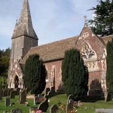
Church of St John the Baptist
2.6 km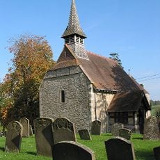
Church of St Michael
3.8 km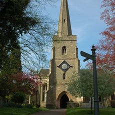
Church of St Mary
4.2 km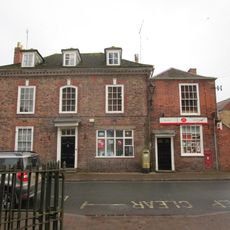
Post Office
4.2 km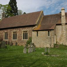
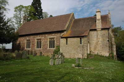
Church of St Lawrence
924 m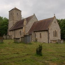
Church of the Holy Trinity
2.8 km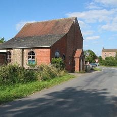
Methodist Chapel
3.3 km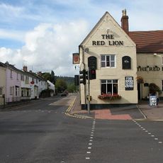
Red Lion
2.5 km
Tibberton Court
2.7 km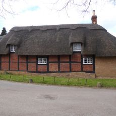
Bradfords Cottage
4.2 km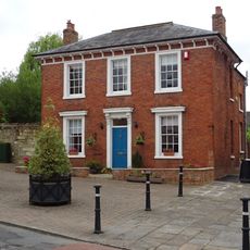
Albion House
4.1 km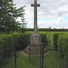
Huntley War Memorial
2.5 km
Old School
3 km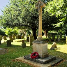
Taynton War Memorial
915 m
The Laurels
3.7 km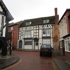
Harwood House
4.1 km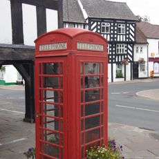
K6 Telephone Kiosk Outside Market House
4.1 km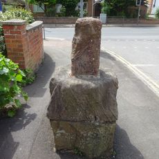
Base To Cross, About 7 Metres North Of Junction With Main Road
2.5 km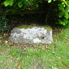
Cross Base
3.5 km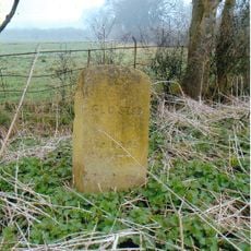
Milestone
3.7 km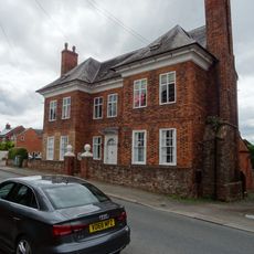
The Tan House
4.1 km
Birdwood House
3.3 km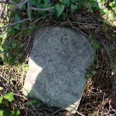
Milestone, About 41 Metres East Of Springfield House
2.8 km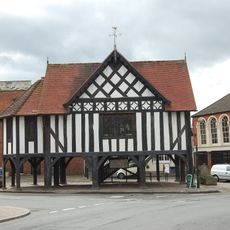
Market House
4.1 km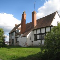
Pound Farmhouse
2.4 km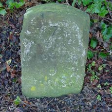
Milestone, About 56 Metres West Of Barn, Huntley Court
2.6 km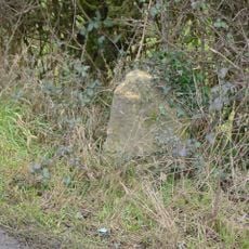
Milestone, Highleadon
4.2 kmDiesen Ort besucht? Tippe auf die Sterne, um ihn zu bewerten und deine Erfahrung oder Fotos mit der Community zu teilen! Jetzt ausprobieren! Sie können jederzeit kündigen.
Entdecke verborgene Schätze auf jedem Abenteuer!
Von charmanten kleinen Cafés bis zu versteckten Aussichtspunkten – entfliehe dem Touristentrubel und finde Orte, die wirklich zu dir passen. Unsere App macht's dir leicht: Sprachsuche, clevere Filter, optimierte Routen und echte Geheimtipps von Reisenden weltweit. Jetzt runterladen und das Abenteuer mobil erleben!

Ein neuer Ansatz für touristische Entdeckungen❞
— Le Figaro
Alle Orte, die eine Entdeckung wert sind❞
— France Info
Ein maßgeschneiderter Ausflug mit nur wenigen Klicks❞
— 20 Minutes