
Kenderchurch, former civil parish in Herefordshire, England, UK
Ort: Herefordshire
Ort: Kilpeck
GPS Koordinaten: 51.95100,-2.87000
Neueste Aktualisierung: 6. März 2025 um 06:58
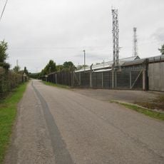
Pontrilas Army Training Area
1.7 km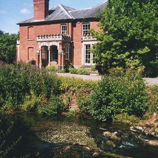
Abbey Dore Court
2.9 km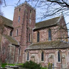
Dore Abbey
2.5 km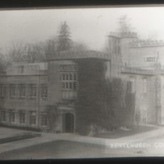
Kentchurch Court
3.2 km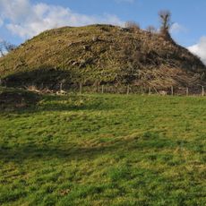
Ewyas Harold Castle
1.8 km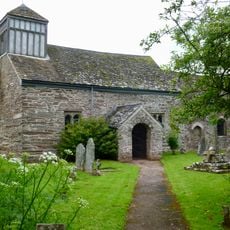
St James's Church
3 km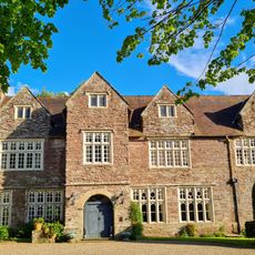
Pontrilas Court
1.2 km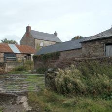
Great House Farm
2.7 km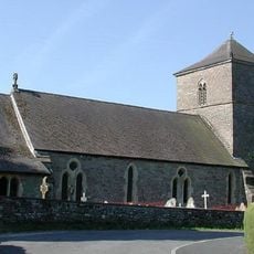
Church of St Michael and All Angels
1.6 km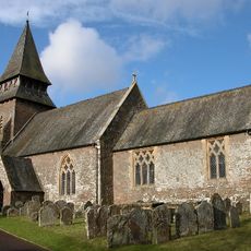
Church of St Mary
3.2 km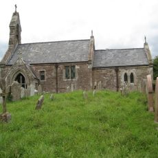
Church of St Mary
18 m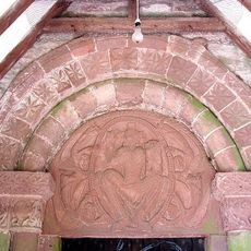
Church of St Peter
3.2 km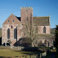
Church of St Mary
2.5 km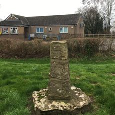
The Obelisk
1.4 km
Grosmont Bridge
2.8 km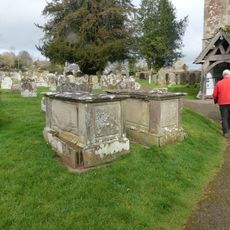
Group of 7 monuments about 10-20 yards south and south-west of the south porch of the Church of St Mary
2.5 km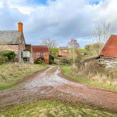
Cwm Farmhouse
3 km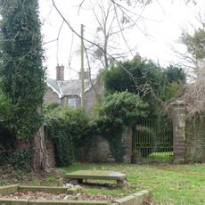
Gates and gate piers about 30 yards north-north-east of The Old Rectory
2.5 km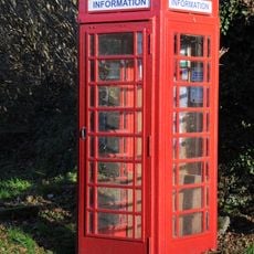
K6 Telephone Kiosk Outside Kentchurch Post Office
2.8 km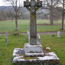
Churchyard cross in St Mary's churchyard
3.2 km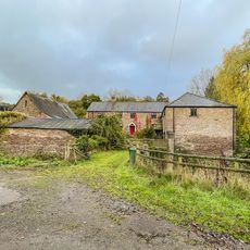
Bannut Tree Farmhouse
3 km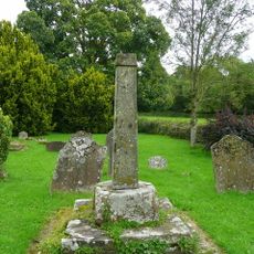
Cross in St James's Churchyard
3 km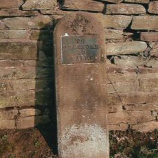
Milestone, Howton Farm
1.3 km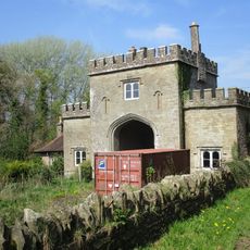
The Lodge
2.8 km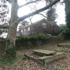
Stables about 25 yards north-east of The Old Rectory
2.5 km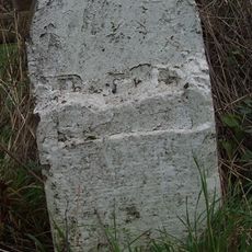
Milestone, Howton Grove Farm
2.9 km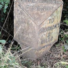
Milepost, Elms Farm
2 km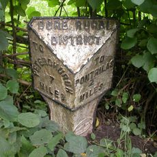
Milepost, Dore; 10m N Dicks Pitch turn
2.1 kmDiesen Ort besucht? Tippe auf die Sterne, um ihn zu bewerten und deine Erfahrung oder Fotos mit der Community zu teilen! Jetzt ausprobieren! Sie können jederzeit kündigen.
Entdecke verborgene Schätze auf jedem Abenteuer!
Von charmanten kleinen Cafés bis zu versteckten Aussichtspunkten – entfliehe dem Touristentrubel und finde Orte, die wirklich zu dir passen. Unsere App macht's dir leicht: Sprachsuche, clevere Filter, optimierte Routen und echte Geheimtipps von Reisenden weltweit. Jetzt runterladen und das Abenteuer mobil erleben!

Ein neuer Ansatz für touristische Entdeckungen❞
— Le Figaro
Alle Orte, die eine Entdeckung wert sind❞
— France Info
Ein maßgeschneiderter Ausflug mit nur wenigen Klicks❞
— 20 Minutes