
Pauntley, village and civil parish in Forest of Dean, Gloucestershire, England
Ort: Forest of Dean
GPS Koordinaten: 51.95996,-2.38270
Neueste Aktualisierung: 15. März 2025 um 16:19
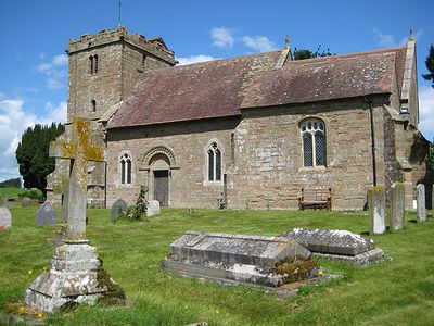
St Mary's Church
4.3 km
Castle Tump
2.6 km
Collinpark Wood SSSI
1.8 km
Ketford Bank
2.3 km
Church of St Anne
3.6 km
Church of St Mary
3.8 km
Church of St John the Evangelist
1.1 km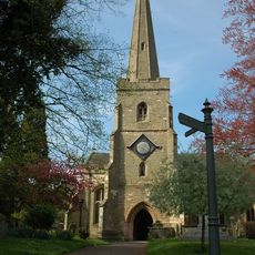
Church of St Mary
3.5 km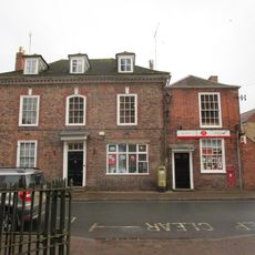
Post Office
3.5 km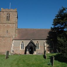
Church of St Bartholomew
2.6 km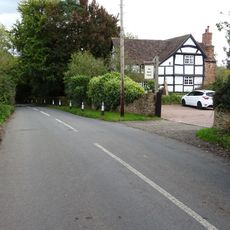
Rock Farmhouse
2.9 km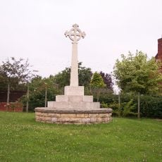
Redmarley D'Abitot War Memorial
2.8 km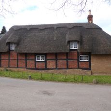
Bradfords Cottage
4.2 km
Castle Tump
2.7 km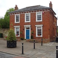
Albion House
3.7 km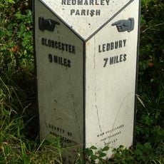
Milestone At Ngr So769301
3.2 km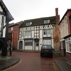
Harwood House
3.7 km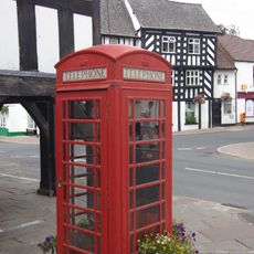
K6 Telephone Kiosk Outside Market House
3.6 km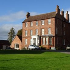
High House
4.4 km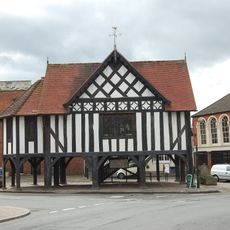
Market House
3.6 km
Sladbrook Farmhouse
3.3 km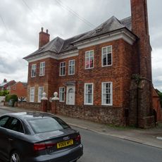
The Tan House
3.8 km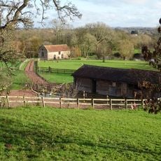
Mill, About 150 Metres East South East Of Pauntley Court
1.3 km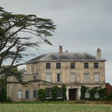
Boyce Court
3.7 km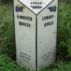
Milestone, About 85 Metres North Of The Rose And Crown Public House
3.4 km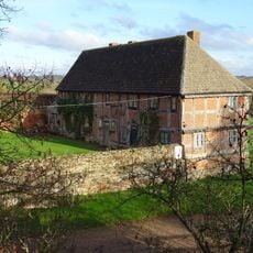
Stables, About 46 Metres South Of Pauntley Court
1.1 km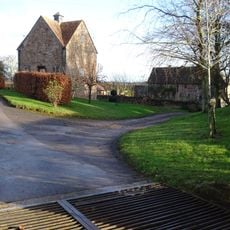
Dovecote, Pauntley Court
1.1 km
Kings End House
2.9 kmDiesen Ort besucht? Tippe auf die Sterne, um ihn zu bewerten und deine Erfahrung oder Fotos mit der Community zu teilen! Jetzt ausprobieren! Sie können jederzeit kündigen.
Entdecke verborgene Schätze auf jedem Abenteuer!
Von charmanten kleinen Cafés bis zu versteckten Aussichtspunkten – entfliehe dem Touristentrubel und finde Orte, die wirklich zu dir passen. Unsere App macht's dir leicht: Sprachsuche, clevere Filter, optimierte Routen und echte Geheimtipps von Reisenden weltweit. Jetzt runterladen und das Abenteuer mobil erleben!

Ein neuer Ansatz für touristische Entdeckungen❞
— Le Figaro
Alle Orte, die eine Entdeckung wert sind❞
— France Info
Ein maßgeschneiderter Ausflug mit nur wenigen Klicks❞
— 20 Minutes