
Skillington, civil parish in South Kesteven, Lincolnshire, UK
Ort: South Kesteven
GPS Koordinaten: 52.81919,-0.66757
Neueste Aktualisierung: 7. März 2025 um 15:37
Woolsthorpe Manor
2.7 km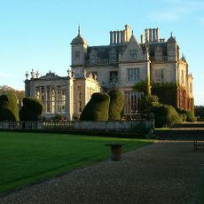
Stoke Rochford Hall
3.2 km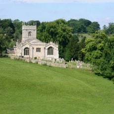
Church of St Mary and St Andrew, Stoke Rochford
2.9 km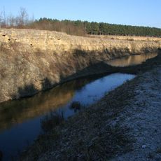
Sproxton Quarry
3.5 km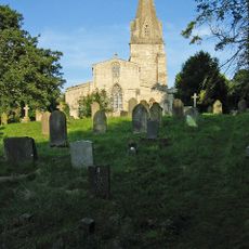
Church of St John the Baptist
3.1 km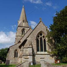
Church of St Peter
2.7 km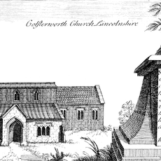
Church of St John the Baptist
3.4 km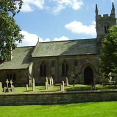
Church of St Nicholas
4.1 km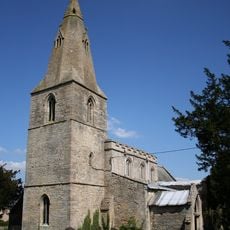
Church of St James
554 m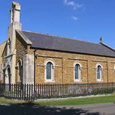
Church of Holy Trinity
4 km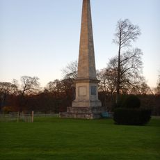
Obelisk, Approximately 250 Metres West North West Of Stoke Rochford Hall
3.2 km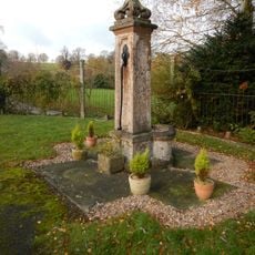
Village Pump
2.8 km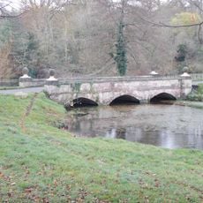
Bridge, Approximately 350 Metres South Of The Hall
2.9 km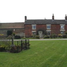
Sewstern War Memorial
4.1 km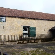
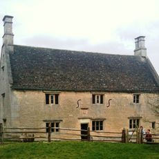
Barn At Woolsthorpe Manor
2.8 km
The Blue Dog
3.8 km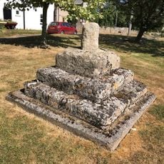
Village Cross
493 m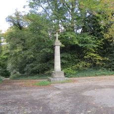
Cross
3.2 km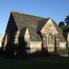
Dysart Mausoleum And Railing
3.1 km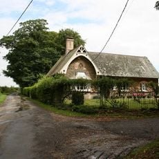
Old School
3.5 km
1 and 2, School Close
2.9 km
Saxon cross in churchyard of parish church, South Stoke
2.8 km
Old School And School House
2.8 km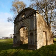
Ornamental Archway, Approximately 350 Metres South Of Stoke Rochford Hall
2.9 km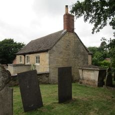
4, Spring Lane
3.4 km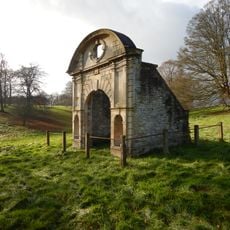
Ornamental Archway 250 M South West From Hall
2.9 km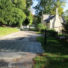
3 Gatepiers, Wall And Lodge, South East Entrance,550 Metres South-South East Of Stoke Rochford Hall
3 km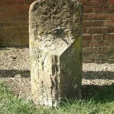
Milestone, Stamford Road, nr No 17
3.6 kmBewertungen
Diesen Ort besucht? Tippe auf die Sterne, um ihn zu bewerten und deine Erfahrung oder Fotos mit der Community zu teilen! Jetzt ausprobieren! Sie können jederzeit kündigen.
Entdecke verborgene Schätze auf jedem Abenteuer!
Von charmanten kleinen Cafés bis zu versteckten Aussichtspunkten – entfliehe dem Touristentrubel und finde Orte, die wirklich zu dir passen. Unsere App macht's dir leicht: Sprachsuche, clevere Filter, optimierte Routen und echte Geheimtipps von Reisenden weltweit. Jetzt runterladen und das Abenteuer mobil erleben!

Ein neuer Ansatz für touristische Entdeckungen❞
— Le Figaro
Alle Orte, die eine Entdeckung wert sind❞
— France Info
Ein maßgeschneiderter Ausflug mit nur wenigen Klicks❞
— 20 Minutes