
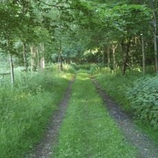
Luddington, civil parish in East Northamptonshire, Northamptonshire, England
GPS Koordinaten: 52.43999,-0.37753
Neueste Aktualisierung: 6. März 2025 um 10:39
Ashton Wold
4.1 km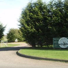
Hamerton Zoo Park
4.8 km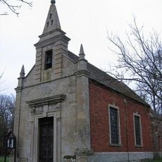
Parish Church of St John the Evangelist
3.1 km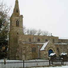
St Andrew's Church, Steeple Gidding
3.7 km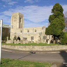
Church of St Peter
4.2 km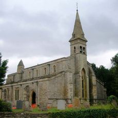
Church of St James
2 km
Church of All Saints
4.9 km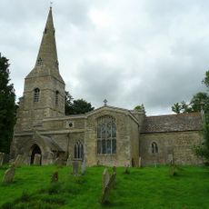
Parish Church of All Saints
3 km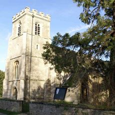
Church of St Peter and St Paul
1.8 km
Church of St Peter
5.3 km
Parish Church of St Michael
1.4 km
Parish Church of St Nicholas
5.5 km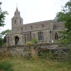
Church of St Margaret
75 m
Parish Of All Saints
5.2 km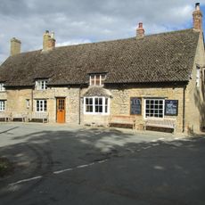
Montague Arms Public House
5.5 km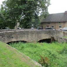
Bridge Approximately 10 Metres West Of The Montague Arms Public House
5.5 km
Cottages Circa 16 Metres North East Of Sycamore Cottage
5 km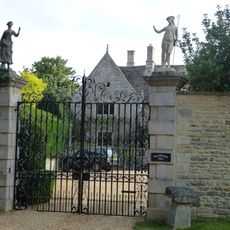
Polebrook Hall and attached Wall with Gatearch
4.8 km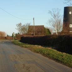
Tower Mill
2 km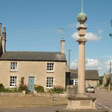
Polebrook and Armston War Memorial
4.9 km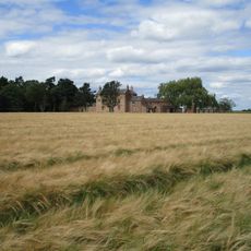
North Lodge Farmhouse
3.2 km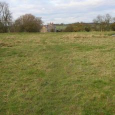
Papley deserted medieval village, moat and fishpond, near Warmington.
5.3 km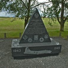
351st Bombardment Group USAAF Memorial, Polebrook
3.2 km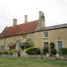
Greyston House
4.9 km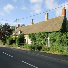
Brook Farmhouse
4.2 km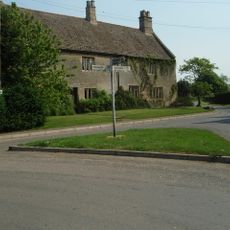
Manor Farmhouse
4.1 km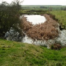
Deserted village (site of)
3.9 km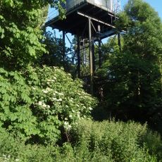
Water Tower
4.7 kmDiesen Ort besucht? Tippe auf die Sterne, um ihn zu bewerten und deine Erfahrung oder Fotos mit der Community zu teilen! Jetzt ausprobieren! Sie können jederzeit kündigen.
Entdecke verborgene Schätze auf jedem Abenteuer!
Von charmanten kleinen Cafés bis zu versteckten Aussichtspunkten – entfliehe dem Touristentrubel und finde Orte, die wirklich zu dir passen. Unsere App macht's dir leicht: Sprachsuche, clevere Filter, optimierte Routen und echte Geheimtipps von Reisenden weltweit. Jetzt runterladen und das Abenteuer mobil erleben!

Ein neuer Ansatz für touristische Entdeckungen❞
— Le Figaro
Alle Orte, die eine Entdeckung wert sind❞
— France Info
Ein maßgeschneiderter Ausflug mit nur wenigen Klicks❞
— 20 Minutes