Lilford-cum-Wigsthorpe
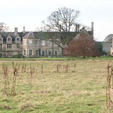
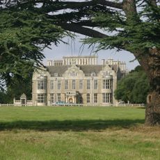
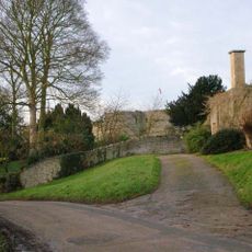
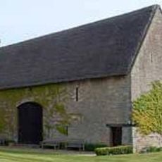
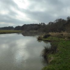
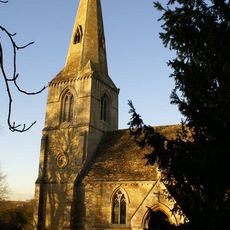
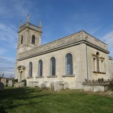
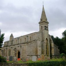
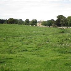
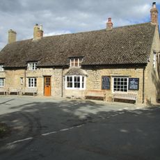
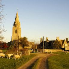
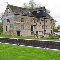
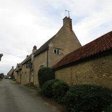
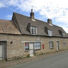
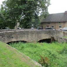
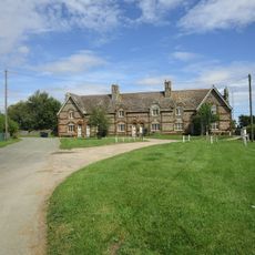
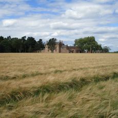
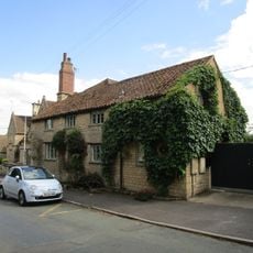
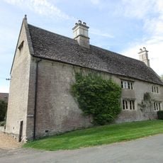
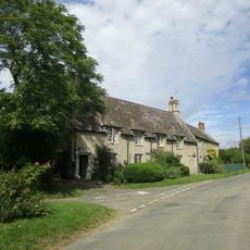
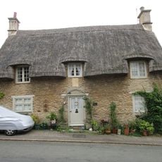
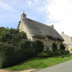
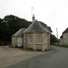
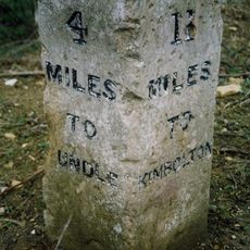
Lilford-cum-Wigsthorpe, civil parish in Northamptonshire, England
Teil von: Lilford-cum-Wigsthorpe and Thorpe Achurch
GPS Koordinaten: 52.43755,-0.45982
Neueste Aktualisierung: 2. März 2025 um 21:54
Barnwell Manor
1.9 km
Lilford Hall
2 km
Barnwell Castle
1.9 km
Thorpe Waterville Castle
3.1 km
Wadenhoe Marsh and Achurch Meadow
3.9 km
Church of St John the Baptist, Thorpe Achurch
2.7 km
Church of St Rumbald
3.7 km
Church of St James
3.8 km
Church of St Peter
3.8 km
Church of St Mary and All Saints
2.6 km
Church of St Andrew
1.7 km
27, Church Street
3.6 km
Bridge Approximately 75 Metres South Of Shuckburgh Arms Public House
3.8 km
Montague Arms Public House
1.6 km
Manor House
2.6 km
Barnwell Mill Restaurant
3.7 km
The Kings Head Public House And Attached Outbuilding
3.7 km
Wadenhoe Post Office
3.7 km
Bridge Approximately 10 Metres West Of The Montague Arms Public House
1.6 km
1-6, The Green
3.7 km
North Lodge Farmhouse
2.5 km
Parkers Patch
1.6 km
Manor Farm House And Attached Outbuilding
3.7 km
11 And 12, The Green
3.7 km
Shangrila
3.6 km
16, Main Street
3.6 km
South Lodge
3.6 km
Milestone, NE of B662 jct
1.4 kmDiesen Ort besucht? Tippe auf die Sterne, um ihn zu bewerten und deine Erfahrung oder Fotos mit der Community zu teilen! Jetzt ausprobieren! Sie können jederzeit kündigen.
Entdecke verborgene Schätze auf jedem Abenteuer!
Von charmanten kleinen Cafés bis zu versteckten Aussichtspunkten – entfliehe dem Touristentrubel und finde Orte, die wirklich zu dir passen. Unsere App macht's dir leicht: Sprachsuche, clevere Filter, optimierte Routen und echte Geheimtipps von Reisenden weltweit. Jetzt runterladen und das Abenteuer mobil erleben!
Ein neuer Ansatz für touristische Entdeckungen❞
— Le Figaro
Alle Orte, die eine Entdeckung wert sind❞
— France Info
Ein maßgeschneiderter Ausflug mit nur wenigen Klicks❞
— 20 Minutes