
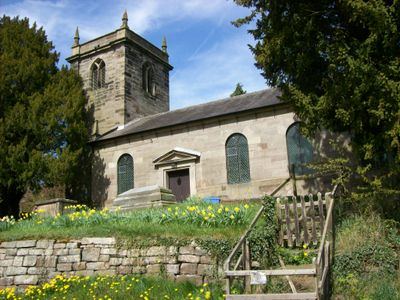
Church of St Lawrence, Kirchengebäude im Vereinigten Königreich
GPS Koordinaten: 52.93691,-2.27977
Neueste Aktualisierung: 17. März 2025 um 10:33
Maer Hall
2.2 km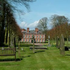
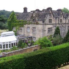
Whitmore Hall
3.5 km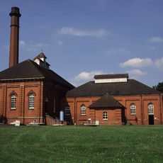
Mill Meece Pumping Station
4.2 km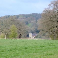
Church of St Peter
2.1 km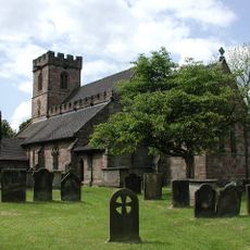
Church of All Saints
2.9 km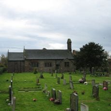
Church of St James
3.4 km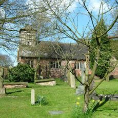
Church of St Mary and All Saints
3.3 km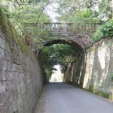
Park Bridge, Steps And Revetment Walls About 100 Metres North Of Maer Hall
2.2 km
Hatton Water Pumping Station Boiler House And Chimney
1.8 km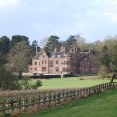
Standon Hall (Now Part Of Standon Hall Orthopaedic Hospital)
2.4 km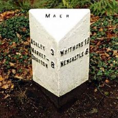
Milepost At Ngr Sj 7853 3968
3.4 km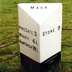
Milepost At Ngr Sj 7823 3884
3.2 km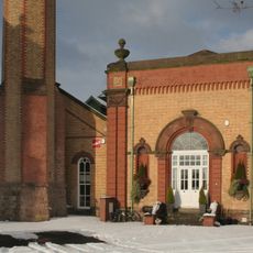
Hatton Water Pumping Station Secondary Pump House
1.8 km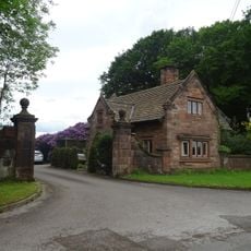
Lodge Of Standon Hall
2.5 km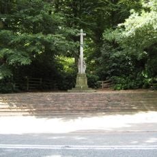
Maer War Memorial
2.6 km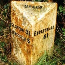
Milepost, N of Beech
3.9 km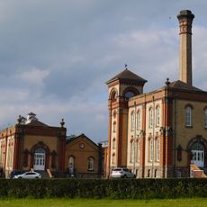
Hatton Water Pumping Station And Chimney
1.8 km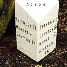
Milepost At Ngr Sj 8257 4183
4.3 km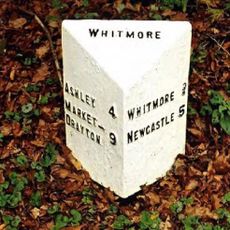
Milepost At Ngr Sj 7980 4054
3.2 km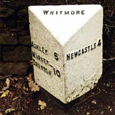
Milepost At Ngr Sj 8132 4112
3.4 km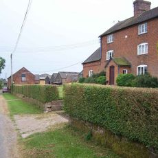
Weston House Farmhouse
1.4 km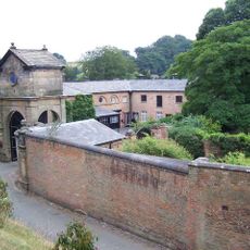
Gatehouse, flanking walls and bollards to Maer Hall
2.1 km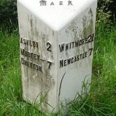
Milepost At Ngr Sj 7724 3878
4.2 km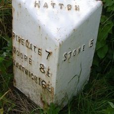
Milepost, Black Bank
2.1 km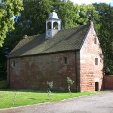
Old Stable Block
3.5 km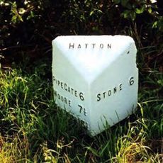
Milepost, The Rowe
883 m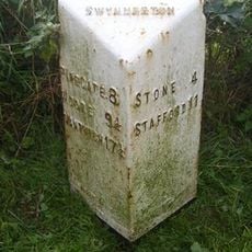
Milepost, near Cash's Pit, north of Swynnerton village
3.6 km
Milepost, Cotes Heath
3.2 kmDiesen Ort besucht? Tippe auf die Sterne, um ihn zu bewerten und deine Erfahrung oder Fotos mit der Community zu teilen! Jetzt ausprobieren! Sie können jederzeit kündigen.
Entdecke verborgene Schätze auf jedem Abenteuer!
Von charmanten kleinen Cafés bis zu versteckten Aussichtspunkten – entfliehe dem Touristentrubel und finde Orte, die wirklich zu dir passen. Unsere App macht's dir leicht: Sprachsuche, clevere Filter, optimierte Routen und echte Geheimtipps von Reisenden weltweit. Jetzt runterladen und das Abenteuer mobil erleben!

Ein neuer Ansatz für touristische Entdeckungen❞
— Le Figaro
Alle Orte, die eine Entdeckung wert sind❞
— France Info
Ein maßgeschneiderter Ausflug mit nur wenigen Klicks❞
— 20 Minutes