
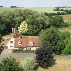
26 And 28, School Road, building in Kedington, St. Edmundsbury, Suffolk, UK
Ort: Kedington
Adresse: 26 And 28, School Road, Kedington, St. Edmundsbury, Suffolk, CB9
GPS Koordinaten: 52.09227,0.48434
Neueste Aktualisierung: 3. März 2025 um 03:35

Cotton Hall
1.2 km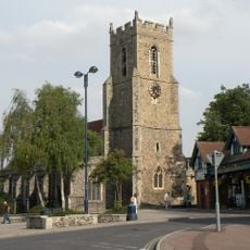
Church of St Mary
3.3 km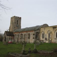
Church of St Peter and St Paul, Kedington
405 m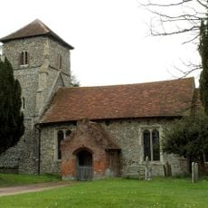
Parish Church of St Mary the Virgin
3.1 km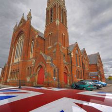
Old Independent Church
3.2 km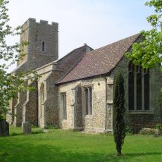
Church of All Saints
2.2 km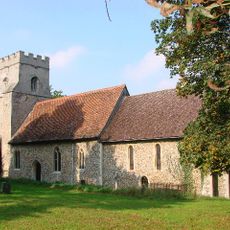
Church of St Mary
2.1 km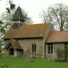
Church of St Mary
1.6 km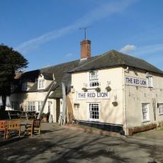
Red Lion Inn
1.9 km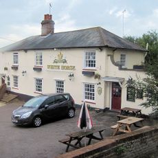
The White Horse Inn
142 m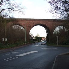
The Sturmer Arches
3 km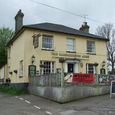
The Barnardiston Arms Public House
324 m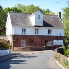
Water Mill
284 m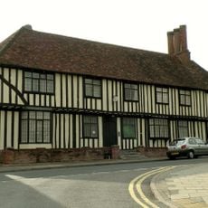
Anne Of Cleves House
3.2 km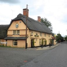
The Red Lion Public House
2.7 km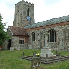
Kedington War Memorial
400 m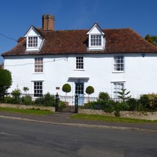
White House
290 m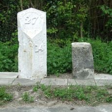
Milestone and milepost standing on the south side of Rowley Hill (A1017), around 60m south-east of its junction with Church Walk
2.8 km
Premises Approximately 70 Yards South-East Of Barton Place
398 m
House At Water Mill
311 m
The Old Forge
282 m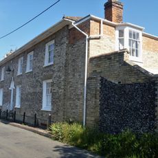
Suffolk House
325 m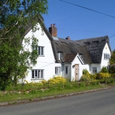
Mill House
2 km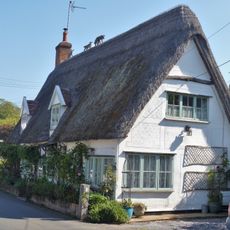
The Dell
273 m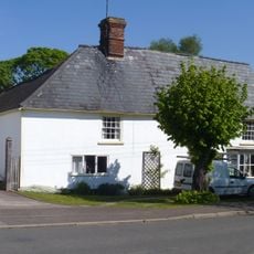
Bridge House
296 m
Silvertails And Shameen
311 m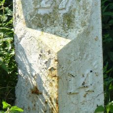
Milestone, Rowley Hill, W of jct with Church Croft
2.8 km
Milepost, Rowley Hill, W of jct with Church Croft
2.8 kmBewertungen
Diesen Ort besucht? Tippe auf die Sterne, um ihn zu bewerten und deine Erfahrung oder Fotos mit der Community zu teilen! Jetzt ausprobieren! Sie können jederzeit kündigen.
Entdecke verborgene Schätze auf jedem Abenteuer!
Von charmanten kleinen Cafés bis zu versteckten Aussichtspunkten – entfliehe dem Touristentrubel und finde Orte, die wirklich zu dir passen. Unsere App macht's dir leicht: Sprachsuche, clevere Filter, optimierte Routen und echte Geheimtipps von Reisenden weltweit. Jetzt runterladen und das Abenteuer mobil erleben!

Ein neuer Ansatz für touristische Entdeckungen❞
— Le Figaro
Alle Orte, die eine Entdeckung wert sind❞
— France Info
Ein maßgeschneiderter Ausflug mit nur wenigen Klicks❞
— 20 Minutes