
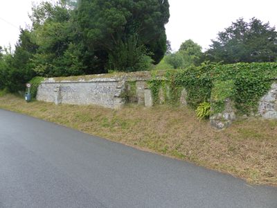
Approximately 25m of churchyard wall to the west and south of St Mary's Church
Approximately 25m of churchyard wall to the west and south of St Mary's Church, Grade II listed churchyard wall in Iwerne Minster, North Dorset, Dorset, UK
Ort: Iwerne Minster
GPS Koordinaten: 50.92947,-2.18909
Neueste Aktualisierung: 5. März 2025 um 14:38
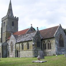
Church of St Mary
27 m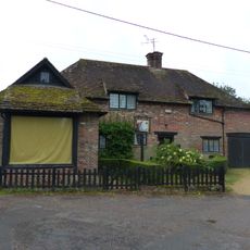
Sunnyside and attached shop
195 m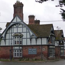
The Talbot at Iwerne Minster
284 m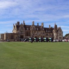
Iwerne Minster House
546 m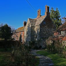
The Chantry
54 m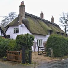
The Old Cottage
241 m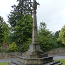
Iwerne Minster and Sutton Waldron War Memorial
265 m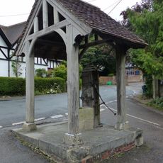
Village pump and pumphouse
147 m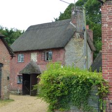
Sunnyside Cottage
207 m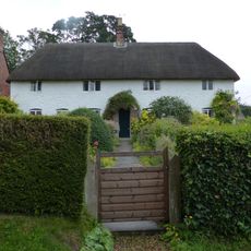
Spring Cottage
129 m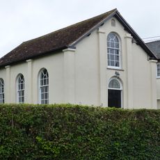
Abingdon Memorial Hall
170 m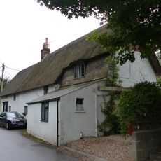
Dwell Deep and Dip Well
172 m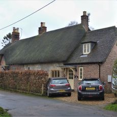
Pair of cottages approximately 5 m east of Sunnyside
179 m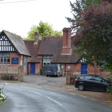
Primary School
107 m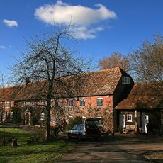
Oyles Mill and Mill House
978 m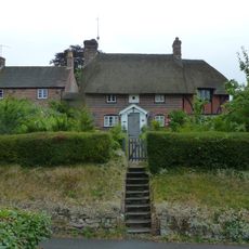
Noel Cottage
45 m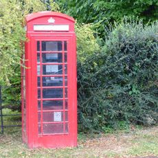
K6 Telephone Kiosk
185 m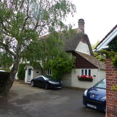
Brook Cottage
122 m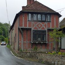
Heddle House
121 m
Brookman's Farmhouse
205 m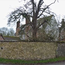
Devine House
141 m
Home Farm Barn.
183 m
Oak House
50 m
The War Office
139 m
Tillhays
93 m
Bowhay
216 m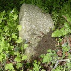
Milestone, 50m N of turning to Child Okeford
961 m
Milepost, S of village, 50m S of 30mph signs
747 mDiesen Ort besucht? Tippe auf die Sterne, um ihn zu bewerten und deine Erfahrung oder Fotos mit der Community zu teilen! Jetzt ausprobieren! Sie können jederzeit kündigen.
Entdecke verborgene Schätze auf jedem Abenteuer!
Von charmanten kleinen Cafés bis zu versteckten Aussichtspunkten – entfliehe dem Touristentrubel und finde Orte, die wirklich zu dir passen. Unsere App macht's dir leicht: Sprachsuche, clevere Filter, optimierte Routen und echte Geheimtipps von Reisenden weltweit. Jetzt runterladen und das Abenteuer mobil erleben!

Ein neuer Ansatz für touristische Entdeckungen❞
— Le Figaro
Alle Orte, die eine Entdeckung wert sind❞
— France Info
Ein maßgeschneiderter Ausflug mit nur wenigen Klicks❞
— 20 Minutes