
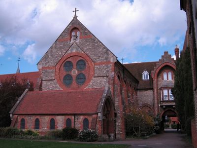
Former St Anthonys Franciscan Preparatory School, building in Stony Stratford, Milton Keynes, Buckinghamshire, UK
Ort: Stony Stratford
GPS Koordinaten: 52.05923,-0.85612
Neueste Aktualisierung: 3. März 2025 um 07:34
Cosgrove aqueduct
1.9 km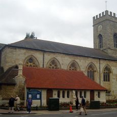
Parish Church of St Mary and St Giles
304 m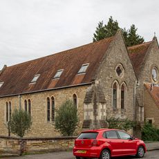
Church of St Mary
647 m
Church of St Guthlac, Passenham
1.4 km
Church of All Saints
1.8 km
Church of St Peter and St Paul
1.8 km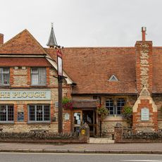
The Plough Inn
551 m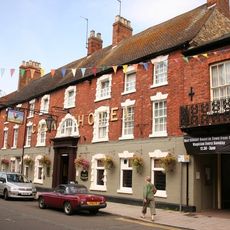
The Cock Hotel
251 m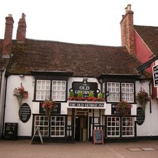
The Old George
369 m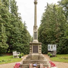
Stony Stratford War Memorial Cross
596 m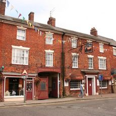
The Bull Hotel
284 m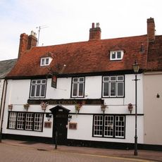
The Crown Public House
405 m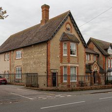
Working Men's Social Club
623 m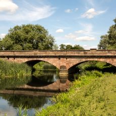
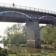
Bridge Over River Ouse (That Part In Old Stratford Civil Parish)
467 m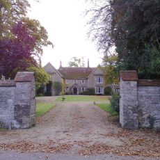
The Manor House And Attached Walls And Gates
1.4 km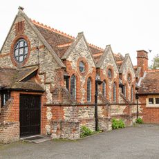
St Mary's Parish Hall
625 m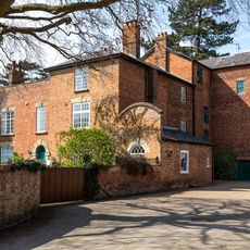
Old Wolverton Mill
1 km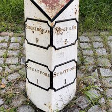
Milepost, Stratford Road; Wolverton Mill, by Wolverton Park, opp. Mill End, 100m W of double mini-roundabout
1.8 km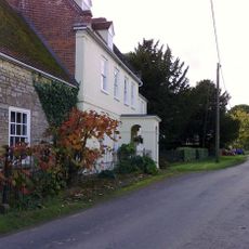
Manor Farmhouse
1.2 km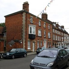
Tower House
113 m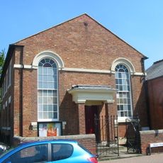
Methodist Church And Church Hall
462 m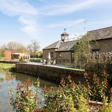
Barn And Coach House To East Of Old Wolverton Mill
1.1 km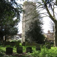
Remains of the church and churchyard of St Mary Magdalen
92 m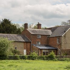
Wolverton Park
1.7 km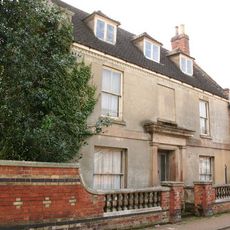
Stratford House
361 m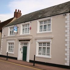
8, Market Square
400 m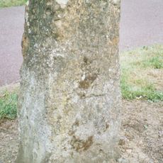
Milestone, Watling Street; just SE of Galley Hill traffic island
1.5 km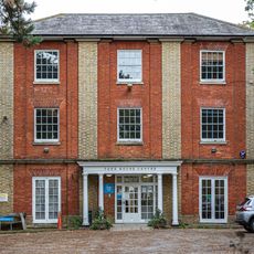
York House (Youth Club)
760 mBewertungen
Diesen Ort besucht? Tippe auf die Sterne, um ihn zu bewerten und deine Erfahrung oder Fotos mit der Community zu teilen! Jetzt ausprobieren! Sie können jederzeit kündigen.
Entdecke verborgene Schätze auf jedem Abenteuer!
Von charmanten kleinen Cafés bis zu versteckten Aussichtspunkten – entfliehe dem Touristentrubel und finde Orte, die wirklich zu dir passen. Unsere App macht's dir leicht: Sprachsuche, clevere Filter, optimierte Routen und echte Geheimtipps von Reisenden weltweit. Jetzt runterladen und das Abenteuer mobil erleben!

Ein neuer Ansatz für touristische Entdeckungen❞
— Le Figaro
Alle Orte, die eine Entdeckung wert sind❞
— France Info
Ein maßgeschneiderter Ausflug mit nur wenigen Klicks❞
— 20 Minutes