
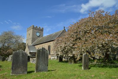
Church of St Cuthbert, Kirchengebäude im Vereinigten Königreich
Ort: Forcett and Carkin
GPS Koordinaten: 54.50523,-1.73040
Neueste Aktualisierung: 12. März 2025 um 08:08
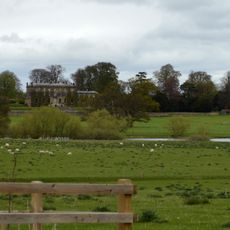
Forcett Hall
897 m
Stanwick Camp
1 km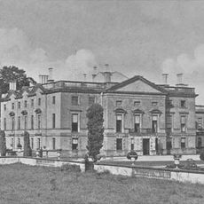
Stanwick Park
1.3 km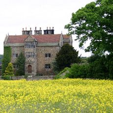
Gainford Hall
4.7 km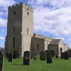
St John the Baptist's Church, Stanwick
994 m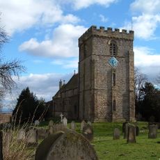
St James' Church, Melsonby
4.6 km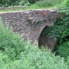
Chapel Bridge Over Black Beck
4.1 km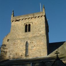
Church of St Mary
4.5 km
Church of All Saints
4.8 km
Christ Church
2.7 km
Church of St Paul
2.9 km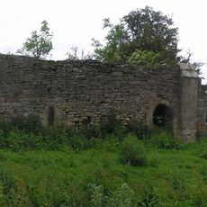
Ruins Of St Lawrence's Chapel
4.1 km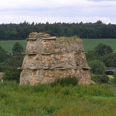
Dovecote 100 metres north of St Lawrence's Chapel
4.2 km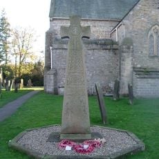
Gainford War Memorial
4.5 km
Dovecote,45 Metres South Of Gainford Hall
4.6 km
Piercebridge Bridge
4.8 km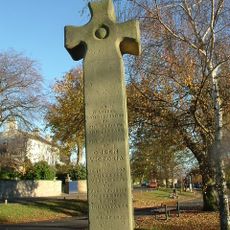
Village Cross
4.6 km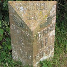
Milepost 400 Metres North Of Junction With Pudding Hill Road
4.1 km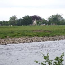
Barforth Hall With Attached Outbuilding To North East
4.6 km
Round barrow 340m east of Cliffe Hall known as Betty Watson's Hill
4.6 km
Medieval Chapel Ruins On Roman Foundations In Rear Garden Of Bath House, Tees View
4.8 km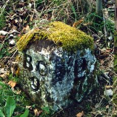
Milestone, 110 Metres South Of Greystone Hall
4.3 km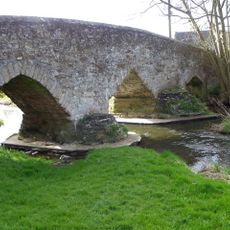
Aldbrough St John Packhorse Bridge
2.8 km
Milepost 400 Metres North Of Junction With Pudding Hill Road
4.1 km
Dovecote
254 m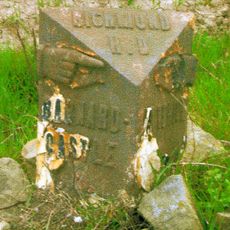
Milestone, NW of lane to Hartforth
4.2 km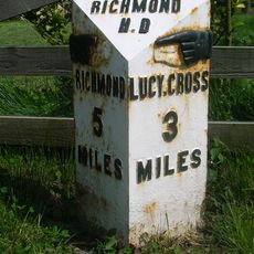
Milestone, S end of Melsonby village
4.8 km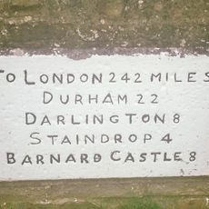
Milestone, village Main Road
4.5 kmBewertungen
Diesen Ort besucht? Tippe auf die Sterne, um ihn zu bewerten und deine Erfahrung oder Fotos mit der Community zu teilen! Jetzt ausprobieren! Sie können jederzeit kündigen.
Entdecke verborgene Schätze auf jedem Abenteuer!
Von charmanten kleinen Cafés bis zu versteckten Aussichtspunkten – entfliehe dem Touristentrubel und finde Orte, die wirklich zu dir passen. Unsere App macht's dir leicht: Sprachsuche, clevere Filter, optimierte Routen und echte Geheimtipps von Reisenden weltweit. Jetzt runterladen und das Abenteuer mobil erleben!

Ein neuer Ansatz für touristische Entdeckungen❞
— Le Figaro
Alle Orte, die eine Entdeckung wert sind❞
— France Info
Ein maßgeschneiderter Ausflug mit nur wenigen Klicks❞
— 20 Minutes