
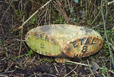
Milepost Circa 300 Yards South Of South Ord, milestone in Ord, Northumberland, UK
Ort: Ord
Gründung: 19. Jahrhundert
GPS Koordinaten: 55.74190,-2.02499
Neueste Aktualisierung: 3. März 2025 um 13:57
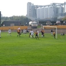
Shielfield Park
2.1 km
Church of St Bartholomew and St Boisil
2.7 km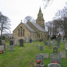
Church of St Peter
2.2 km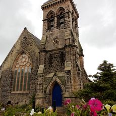
St John the Evangelist
2.7 km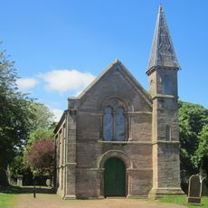
Pair Of Chapels, Lodge, Wall And Gate Piers At Tweedmouth Cemetery
1.8 km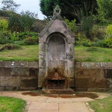
Former Spa Well
2.6 km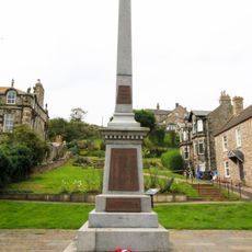
Spittal War Memorial, Northumberland
2.6 km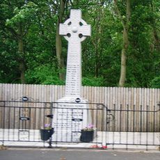
Scremerston War Memorial
2.3 km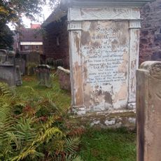
Gravestone Of John Mackay Wilson, Churchyard
2.6 km
72-80, Main Street
2.8 km
48-52, Main Street
2.8 km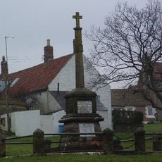
East Ord War Memorial
1.6 km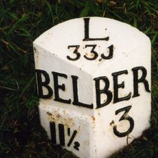
Milepost By Scremerston Old Coal Mine
2.8 km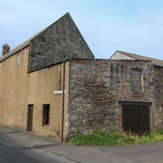
Pair of Smokehouses
2.7 km
Spittal School And Surrounding Walls And Railings
2.7 km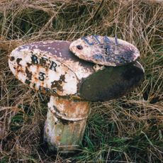
Milepost Circa 1/2 Mile South Of Murton White House
1.8 km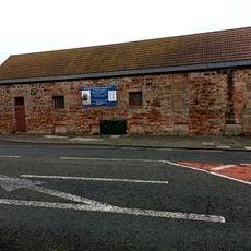
The Old Brewery
2.6 km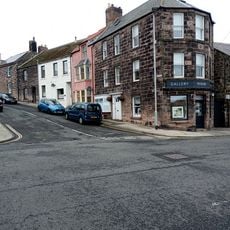
84, Main Street
2.8 km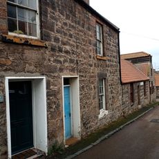
2 And 2A, Brewery Bank
2.6 km
178-180, Main Street
2.6 km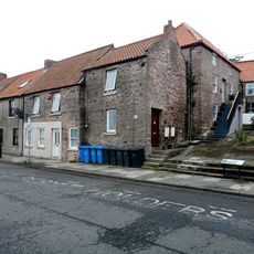
64 And 66, Main Street
2.8 km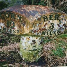
Milepost By East Lodge To Longridge Tower
2.7 km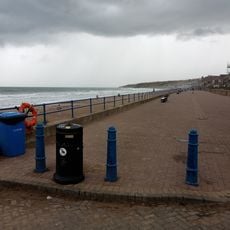
Spittal
2.8 km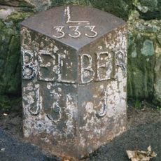
Milepost, Tweedmouth, just N of small traffic island to Sports Centre and Schools
1.9 km
56-62, Main Street
2.8 km
Milepost, Scremerston
1.8 km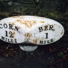
Milepost, by Homelea, Cornhill Road, East Ord
1.8 km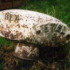
Milepost, Mansefield Road jct with Etal Road, East Ord
1.6 kmDiesen Ort besucht? Tippe auf die Sterne, um ihn zu bewerten und deine Erfahrung oder Fotos mit der Community zu teilen! Jetzt ausprobieren! Sie können jederzeit kündigen.
Entdecke verborgene Schätze auf jedem Abenteuer!
Von charmanten kleinen Cafés bis zu versteckten Aussichtspunkten – entfliehe dem Touristentrubel und finde Orte, die wirklich zu dir passen. Unsere App macht's dir leicht: Sprachsuche, clevere Filter, optimierte Routen und echte Geheimtipps von Reisenden weltweit. Jetzt runterladen und das Abenteuer mobil erleben!

Ein neuer Ansatz für touristische Entdeckungen❞
— Le Figaro
Alle Orte, die eine Entdeckung wert sind❞
— France Info
Ein maßgeschneiderter Ausflug mit nur wenigen Klicks❞
— 20 Minutes