
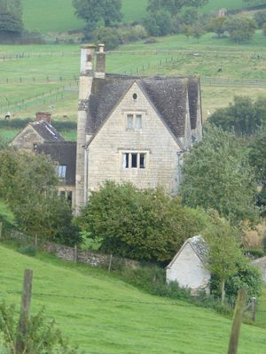
Privy approximately 30 metres west of Stokenhill Farmhouse
Privy approximately 30 metres west of Stokenhill Farmhouse, Grade II listed building in Whiteshill and Ruscombe, Stroud, Gloucestershire, UK
GPS Koordinaten: 51.76087,-2.22559
Neueste Aktualisierung: 7. März 2025 um 03:48
Church of All Saints
1.7 km
Stratford Park
1.3 km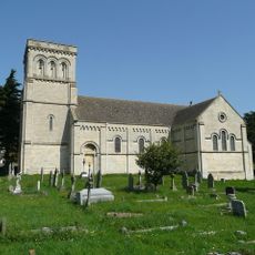
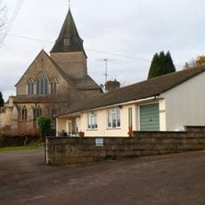
Church of St Paul
465 m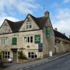
Star Inn
484 m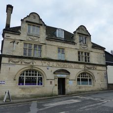
Ye Old Painswick Inn
1.7 km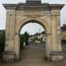
Archway, Formerly To Farm Hill Park
1.4 km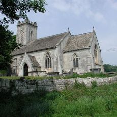
Church of St John the Baptist
1.5 km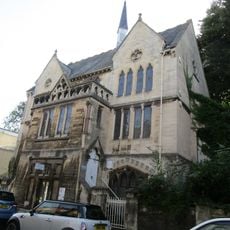
Stroud Spiritualist Church
1.7 km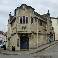
The Greyhound Inn Public House
1.7 km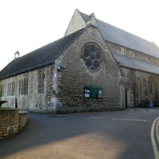
Church of the Immaculate Conception
1.6 km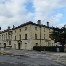
Willow Court, The Old Court House and Willow House
1.6 km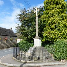
Whiteshill War Memorial
477 m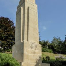
Stroud War Memorial
1.6 km
Gate screen approximately 18 metres south of Pitchcombe House
1.2 km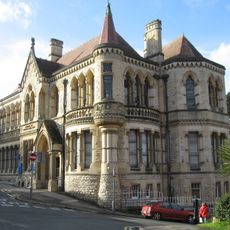
School Of Science And Art
1.7 km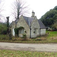
Lodge to Hawkwood College
823 m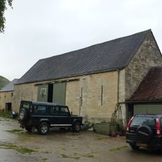
Barn approximately 10 metres south of Ruscombe Farmhouse
1 km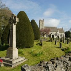
Pitchcombe War Memorial
1.4 km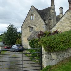
Stokenhill Farmhouse
42 m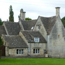
Rock Mill House
321 m
2, Lansdown
1.7 km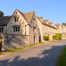
Stables and coach house approximately 30 metres south east of Pitchcombe House
1.2 km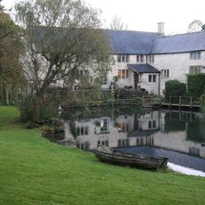
Little Mill
1 km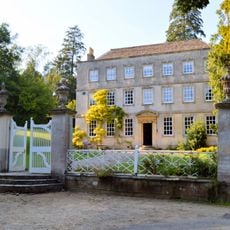
Pitchcombe House
1.2 km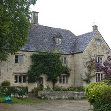
Ruscombe Farmhouse
1 km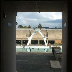
Stratford Park Diving Platform
1.2 km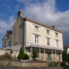
Nos 1 and 2 (Gannicox House) and No 3
1.7 km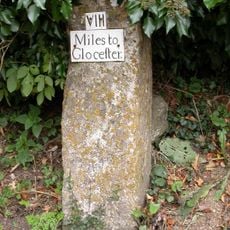
Milestone, Wick Street; 50m N The Malt House
1.5 kmBewertungen
Diesen Ort besucht? Tippe auf die Sterne, um ihn zu bewerten und deine Erfahrung oder Fotos mit der Community zu teilen! Jetzt ausprobieren! Sie können jederzeit kündigen.
Entdecke verborgene Schätze auf jedem Abenteuer!
Von charmanten kleinen Cafés bis zu versteckten Aussichtspunkten – entfliehe dem Touristentrubel und finde Orte, die wirklich zu dir passen. Unsere App macht's dir leicht: Sprachsuche, clevere Filter, optimierte Routen und echte Geheimtipps von Reisenden weltweit. Jetzt runterladen und das Abenteuer mobil erleben!

Ein neuer Ansatz für touristische Entdeckungen❞
— Le Figaro
Alle Orte, die eine Entdeckung wert sind❞
— France Info
Ein maßgeschneiderter Ausflug mit nur wenigen Klicks❞
— 20 Minutes