
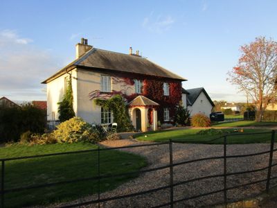
Home Farmhouse, Boundary Wall And Adjacent Outbuilding
Home Farmhouse, Boundary Wall And Adjacent Outbuilding, agricultural structure in Perlethorpe cum Budby, Newark and Sherwood, Nottinghamshire, UK
GPS Koordinaten: 53.23248,-1.02952
Neueste Aktualisierung: 2. März 2025 um 22:40
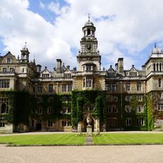
Thoresby Hall
977 m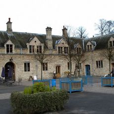
The Queen's Royal Lancers and Nottinghamshire Yeomanry Museum
1.1 km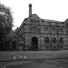
Boughton Pumping Station
2.6 km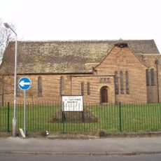
St Paulinus' Church, New Ollerton
3.3 km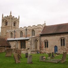
St Edmund's Church, Walesby
3.6 km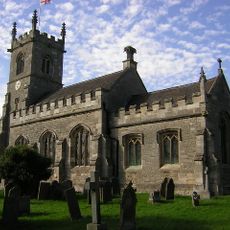
Our Lady and St Peter's Church, Bothamsall
3.6 km
St Giles' Church, Ollerton
3.7 km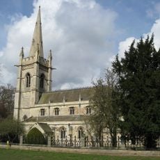
Church of St John
340 m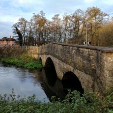
Budby Bridge
3.2 km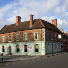
Forest House Hotel
3.6 km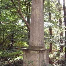
Monument To A Horse
2.9 km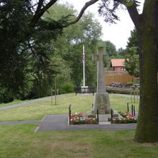
Ollerton War Memorial
3.6 km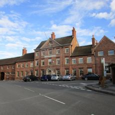
Hop Pole Hotel And Adjoining Stable Block And Outbuilding
3.7 km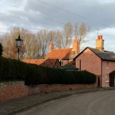
Careys Cottage And Adjoining Green Meadows
3.3 km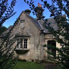
South Lodge
2.7 km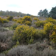
Budby South Forest RSPB reserve
3.2 km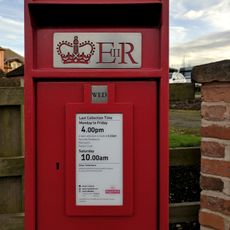
Pillar box Opposite Woodland View
3.3 km
Bridge To East Of Green Bridge
666 m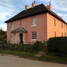
Sherwood House And Boundary Wall And Railings
3.3 km
The Green Bridge, 400M South East Of Thoresby Hall
850 m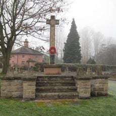
Budby War Memorial
3.2 km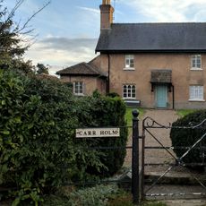
Sharida And Attached Wall
3.3 km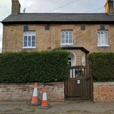
South Farmhouse
3.4 km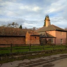
Woodland View
3.2 km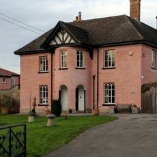
North Farmhouse
3.2 km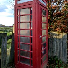
K6 Telephone Kiosk
3.3 km
Bowl barrow, 452m north west of Cameleon Lodge
2.7 km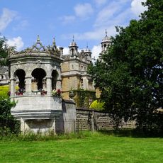
Terrace Walls And Gazebos At Thoresby Hall
1.1 kmBewertungen
Diesen Ort besucht? Tippe auf die Sterne, um ihn zu bewerten und deine Erfahrung oder Fotos mit der Community zu teilen! Jetzt ausprobieren! Sie können jederzeit kündigen.
Entdecke verborgene Schätze auf jedem Abenteuer!
Von charmanten kleinen Cafés bis zu versteckten Aussichtspunkten – entfliehe dem Touristentrubel und finde Orte, die wirklich zu dir passen. Unsere App macht's dir leicht: Sprachsuche, clevere Filter, optimierte Routen und echte Geheimtipps von Reisenden weltweit. Jetzt runterladen und das Abenteuer mobil erleben!

Ein neuer Ansatz für touristische Entdeckungen❞
— Le Figaro
Alle Orte, die eine Entdeckung wert sind❞
— France Info
Ein maßgeschneiderter Ausflug mit nur wenigen Klicks❞
— 20 Minutes