
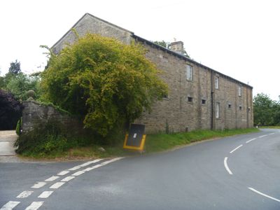
The Coach House And Stable Cottage To The North East Of The Grange
The Coach House And Stable Cottage To The North East Of The Grange, building in Burton-cum-Walden, Richmondshire, North Yorkshire, UK
Ort: Burton-cum-Walden
GPS Koordinaten: 54.27898,-1.97392
Neueste Aktualisierung: 3. März 2025 um 04:54
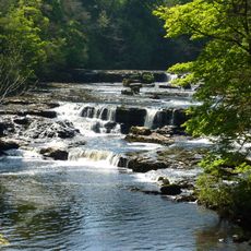
Aysgarth-Wasserfall
1.7 km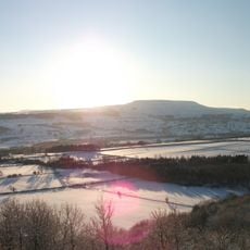
Penhill
2.5 km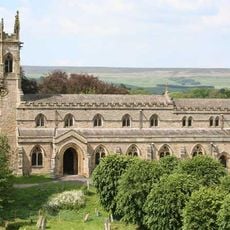
Church of Saint Andrew
1.6 km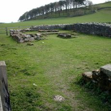
Penhill Preceptory
2.5 km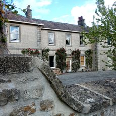
Swinithwaite Hall
3.5 km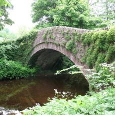
Burton Bridge
88 m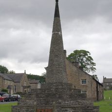
Obelisk
402 m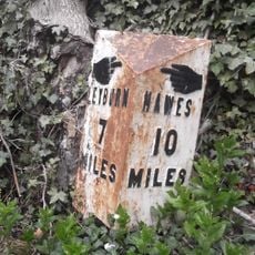
Milestone, Heads Bank, Aysgarth
1.4 km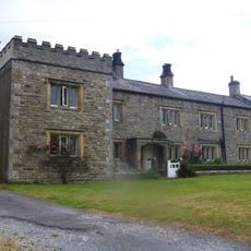
Galloway House
331 m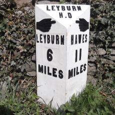
Mile Post On Temple Bank Approximately Three Hundred Metres West Of Temple Farm
2.3 km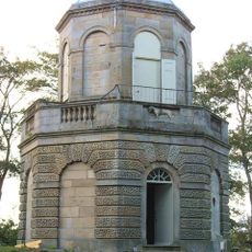
Belvedere
2.4 km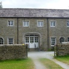
Old Hall Stables
539 m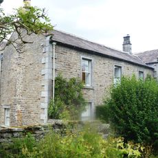
Flanders Hall
192 m
Yore Mill
1.7 km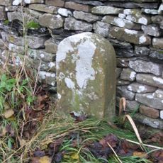
Boundary Stone
1.7 km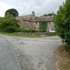
Old Hall
3.4 km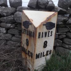
Mile Stone Approximately 200 Metres West Of Parish Boundary
3.4 km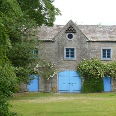
Stables At Flanders Hall
182 m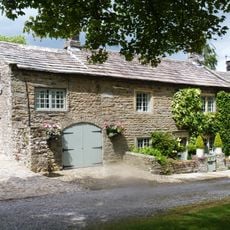
Wensleydale Cottage And Attached Outbuilding
468 m
Wing Attached To Rear Of Swinithwaite Hall
3.5 km
Stocks
396 m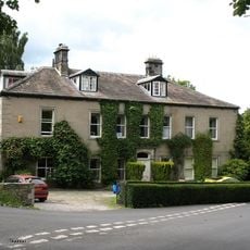
The Grange
61 m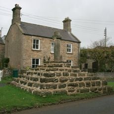
Carperby market cross
2.9 km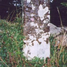
Boundary Stone Approximately 6 Metres North Of Tomgill Bridge
1.4 km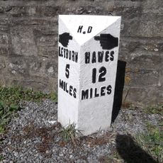
Milestone, 20m SE of Swinithwaite Hall
3.5 km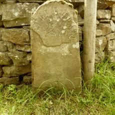
Milestone, Thoralby, Humphrey Hill
2.1 km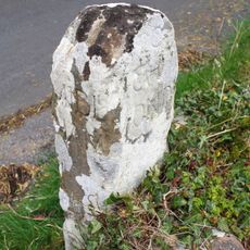
Guidestone, Aysgarth to Thoralby road
1.4 km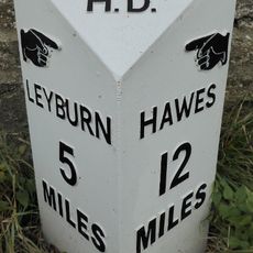
Replacement Milestone, 20m SE of Swinithwaite Hall
3.5 kmDiesen Ort besucht? Tippe auf die Sterne, um ihn zu bewerten und deine Erfahrung oder Fotos mit der Community zu teilen! Jetzt ausprobieren! Sie können jederzeit kündigen.
Entdecke verborgene Schätze auf jedem Abenteuer!
Von charmanten kleinen Cafés bis zu versteckten Aussichtspunkten – entfliehe dem Touristentrubel und finde Orte, die wirklich zu dir passen. Unsere App macht's dir leicht: Sprachsuche, clevere Filter, optimierte Routen und echte Geheimtipps von Reisenden weltweit. Jetzt runterladen und das Abenteuer mobil erleben!

Ein neuer Ansatz für touristische Entdeckungen❞
— Le Figaro
Alle Orte, die eine Entdeckung wert sind❞
— France Info
Ein maßgeschneiderter Ausflug mit nur wenigen Klicks❞
— 20 Minutes